
| Distance / Altitude | Location | Report Date / Time | Live Weather | Wind | Gusts | Temp. | Visibility | Cloud |
|---|---|---|---|---|---|---|---|---|
| 13 km SSE / 206 m | Barranquilla/Ernesto Cortissoz International Airport (Columbia) | 2026-04-17 06:11 local (2026/04/17 11:11 GMT) | Dry and partly cloudy | light winds from the E.(Wind varies from 050 to 120 degs) (9 km/h at 90) | 26°C | 6.0 | broken | |
| 68 km ENE / 4 m | Gaira wx (Colombia) | 2026-04-17 04:37 local (2026/04/17 09:37 GMT) | dry | calm (3 km/h at 112) | 27°C | - | - - 0 | |
| 68 km E / 96 m | Santa Marta/Simón Bolívar International Airport (Columbia) | 2026-04-17 06:00 local (2026/04/17 11:00 GMT) | Dry and partly cloudy | light winds from the SE (6 km/h at 140) | 26°C | 10.0 | scattered | |
| 74 km ENE / 8 m | Barrio Cundi wx (Colombia) | 2026-04-17 05:44 local (2026/04/17 10:44 GMT) | dry | light winds from the E (6 km/h at 101) | 24°C | - | - - 0 | |
| 97 km SSW / 6 m | Rafael Nuñez wx (Colombia) | 2026-04-17 05:21 local (2026/04/17 10:21 GMT) | - | wind obs. (8 kph from 86 degs) was rejected (- km/h at -) | 26°C | - | - - 0 | |
| 98 km SSW / 201 m | Cartagena/Rafael Airport (Columbia) | 2026-04-17 06:00 local (2026/04/17 11:00 GMT) | Dry and partly cloudy | light winds from the N.(Wind varies from 330 to 050 degs) (11 km/h at 10) | 27°C | 10.0 | broken | |
| 140 km WNW / 3 m | SHIP3003 (Marine) | 2026-04-17 05:00 local (2026/04/17 10:00 GMT) | moderate winds from the ENE (26 km/h at 60) | 27°C | - | |||
| 140 km WNW / 3 m | SHIP6101 (Marine) | 2026-04-17 06:00 local (2026/04/17 11:00 GMT) | moderate winds from the ENE (22 km/h at 60) | 27°C | - | |||
| 140 km WNW / 3 m | SHIP9002 (Marine) | 2026-04-17 06:00 local (2026/04/17 11:00 GMT) | moderate winds from the ENE (22 km/h at 60) | 27°C | - | |||
| 140 km WNW / 15 m | SHIP10301 (Marine) | 2026-04-17 06:00 local (2026/04/17 11:00 GMT) | moderate winds from the ENE (22.32 km/h at 60) | — | - km |
| Contours: | Roads & Rivers: | Select a
tide station / surf break / city |
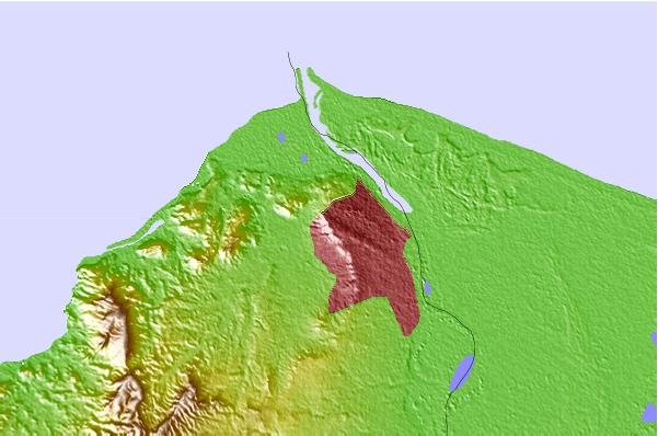
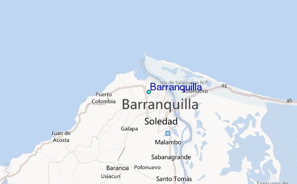
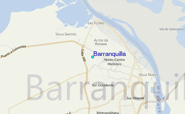
Use this relief map to navigate to tide stations, surf breaks and cities that are in the area of Barranquilla.
Other Nearby Locations' tide tables and tide charts to Barranquilla:
click location name for more details
 Surf breaks close to Barranquilla:
|
||
|---|---|---|
| Closest surf break | Punta Roca | 6 mi |
| Second closest surf break | Salgar | 7 mi |
| Third closest surf break | El Bolsillo | 8 mi |
| Fourth closest surf break | El Paredon | 8 mi |
| Fifth closest surf break | Pradomar | 9 mi |


 Nearest
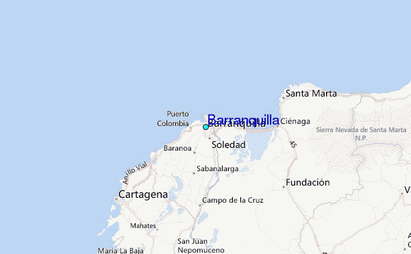