
| Distance / Altitude | Location | Report Date / Time | Live Weather | Wind | Gusts | Temp. | Visibility | Cloud |
|---|---|---|---|---|---|---|---|---|
| 95 km S / 6 m | Thevenard Island (Australia) | 2026-07-26 22:00 local (2026/07/26 14:00 GMT) | no report | - (- km/h at -) | 22°C | - | - - - | |
| 111 km S / 4 m | Onslow Airport (Australia) | 2026-07-26 22:00 local (2026/07/26 14:00 GMT) | no report | wind obs. (7 kph from 300 degs) was rejected (- km/h at -) | 22°C | - | - | |
| 149 km ENE / 30 m | Legendre Island (Australia) | 2026-07-26 22:00 local (2026/07/26 14:00 GMT) | no report | moderate winds from the ESE (28 km/h at 120) | 24°C | - | - | |
| 168 km NE / 15 m | ASCATB116E20S (Marine) | 2026-07-26 20:49 local (2026/07/26 12:49 GMT) | light winds from the E (18 km/h at 97) | — | - km | |||
| 176 km E / 11 m | Roebourne Aero (Australia) | 2026-07-26 21:00 local (2026/07/26 13:00 GMT) | no report | moderate winds from the ESE (20 km/h at 110) | 24°C | - | - - - | |
| 188 km NE / 15 m | ASCATB117E20S (Marine) | 2026-07-26 20:49 local (2026/07/26 12:49 GMT) | light winds from the E (18 km/h at 98) | — | - km | |||
| 221 km SSW / 214 m | Learmouth Airport (Australia) | 2026-07-26 21:30 local (2026/07/26 13:30 GMT) | Dry and partly cloudy | light winds from the WSW (13 km/h at 240) | 14°C | 10.0 | no cloud | |
| 221 km SSW / 6 m | Learmonth Airport (Australia) | 2026-07-26 22:00 local (2026/07/26 14:00 GMT) | no report | - (- km/h at -) | 23°C | - | - - - | |
| 261 km NNE / 15 m | ASCATB116E19S (Marine) | 2026-07-26 20:50 local (2026/07/26 12:50 GMT) | moderate winds from the ESE (28 km/h at 122) | — | - km | |||
| 268 km NNE / 15 m | ASCATB117E19S (Marine) | 2026-07-26 20:50 local (2026/07/26 12:50 GMT) | fresh winds from the ESE (30 km/h at 121) | — | - km |
| Contours: | Roads & Rivers: | Select a
tide station / surf break / city |
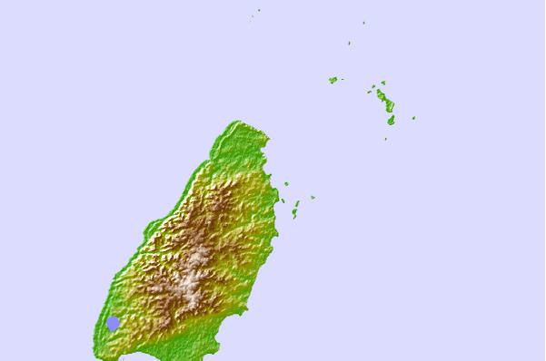
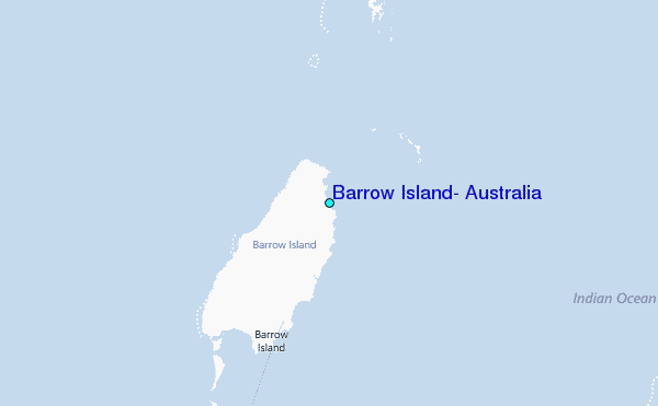
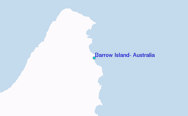
Use this relief map to navigate to tide stations, surf breaks and cities that are in the area of Barrow Island, Australia.
Other Nearby Locations' tide tables and tide charts to Barrow Island, Australia:
click location name for more details
 Surf breaks close to Barrow Island, Australia:
|
||
|---|---|---|
| Closest surf break | Dunes | 114 mi |
| Second closest surf break | Lighthouse Bombie | 123 mi |
| Third closest surf break | Gnaraloo | 244 mi |
| Fourth closest surf break | Turtles | 259 mi |
| Fifth closest surf break | Red Bluff | 264 mi |


 Nearest
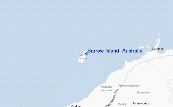