
| Distance / Altitude | Location | Report Date / Time | Live Weather | Wind | Gusts | Temp. | Visibility | Cloud |
|---|---|---|---|---|---|---|---|---|
| 10 km ESE / 3 m | BUOY-GUXA2 (Marine) | 2026-01-04 18:32 local (2026/01/05 03:32 GMT) | calm (5 km/h at 30) | -7°C | - | |||
| 39 km SSW / 3 m | BUOY-GEXA2 (Marine) | 2026-01-04 18:32 local (2026/01/05 03:32 GMT) | fresh winds from the ENE (35 km/h at 70) | -6°C | - | |||
| 39 km SSW / 316 m | Elfin Cove Airport (Alaska) | 2026-01-04 16:47 local (2026/01/05 01:47 GMT) | Light snow | wind obs. (20 kph from 100 degs) was rejected (- km/h at -) | -6°C | 6 | overcast | |
| 40 km SSW / 3 m | BUOY-ELFA2 (Marine) | 2026-01-04 18:00 local (2026/01/05 03:00 GMT) | - (- km/h at -) | — | - | |||
| 46 km SSE / 213 m | Hoonah Airport (Alaska) | 2026-01-04 17:30 local (2026/01/05 02:30 GMT) | - | light winds from the ESE (19 km/h at 110) | 1°C | 0.0 | ||
| 52 km SW / 3 m | BUOY-CSXA2 (Marine) | 2026-01-04 18:32 local (2026/01/05 03:32 GMT) | fresh winds from the E (37 km/h at 90) | — | - | |||
| 52 km SW / 3 m | BUOY-CSPA2 (Marine) | 2026-01-04 18:10 local (2026/01/05 03:10 GMT) | - (0 km/h at -) | -5°C | - | |||
| 54 km ENE / 15 m | SHIP2948 (Marine) | 2026-01-04 18:00 local (2026/01/05 03:00 GMT) | strong winds from the NNW (44.64 km/h at 340) | — | - km | |||
| 54 km E / 3 m | BUOY-PRTA2 (Marine) | 2026-01-04 18:10 local (2026/01/05 03:10 GMT) | moderate winds from the N (21 km/h at 360) | -10°C | - | |||
| 56 km NE / 15 m | SHIP3538 (Marine) | 2026-01-04 17:00 local (2026/01/05 02:00 GMT) | strong winds from the NNW (42.480000000000004 km/h at 340) | — | - km |
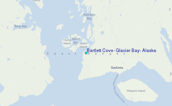
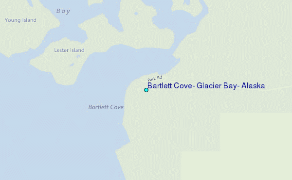
Choose Bartlett Cove, Glacier Bay, Alaska Location Map Zoom:
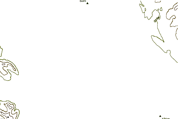
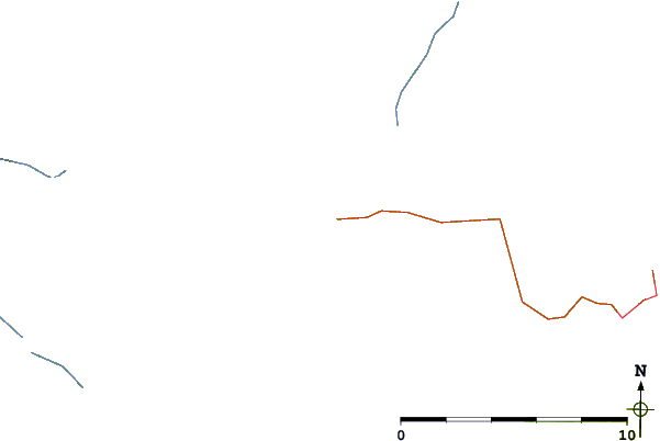
| Contours: | Roads & Rivers: | Select a
tide station / surf break / city |
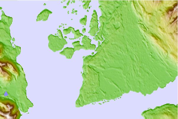
Use this relief map to navigate to tide stations, surf breaks and cities that are in the area of Bartlett Cove, Glacier Bay, Alaska.
Other Nearby Locations' tide tables and tide charts to Bartlett Cove, Glacier Bay, Alaska:
click location name for more details
 Surf breaks close to Bartlett Cove, Glacier Bay, Alaska:
|
||
|---|---|---|
| Closest surf break | Cannon Beach | 156 mi |
| Second closest surf break | Graveyards | 159 mi |
| Third closest surf break | Ocean Cape | 161 mi |
| Fourth closest surf break | Lepus Beach (Haida-Gwaii) | 316 mi |
| Fifth closest surf break | Tow Hill Beach | 341 mi |


 Nearest
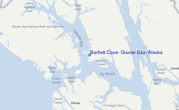