
| Distance / Altitude | Location | Report Date / Time | Live Weather | Wind | Gusts | Temp. | Visibility | Cloud |
|---|---|---|---|---|---|---|---|---|
| 5 km ENE / 14 m | Southwest Hbr.-Seawall (Maine) | 2026-04-03 13:36 local (2026/04/03 17:36 GMT) | dry | calm (0 km/h at 184) | 3°C | - | - - 0 | |
| 14 km WSW / 9.1 m | Brooklin-Naskeag1 (Maine) | 2026-04-03 13:39 local (2026/04/03 17:39 GMT) | dry | - (- km/h at ) | 6°C | - | - - 0 | |
| 18 km WSW / 46 m | Brooklin School (Maine) | 2026-04-03 13:46 local (2026/04/03 17:46 GMT) | dry | light winds from the SSE (11 km/h at 148) | 4°C | - | - - 0 | |
| 19 km NE / 70 m | Bar Harbor (Maine) | 2026-04-03 13:09 local (2026/04/03 17:09 GMT) | - | calm (0 km/h at 0) | — | - | - - 0 | |
| 21 km WNW / 6 m | Blue Hill Falls wx (United States) | 2026-04-03 13:27 local (2026/04/03 17:27 GMT) | dry | light winds from the S (14 km/h at 175) | 3°C | - | - - 0 | |
| 21 km NE / 3 m | BUOY-ATGM1 (Marine) | 2026-04-03 13:00 local (2026/04/03 17:00 GMT) | moderate winds from the SSE (21 km/h at 160) | 3°C | - | |||
| 23 km N / 187 m | Bar Harbor Airport (Maine) | 2026-04-03 11:56 local (2026/04/03 15:56 GMT) | Light rain | moderate winds from the SSE (22 km/h at 160) | 3°C | 13 | overcast | |
| 24 km N / 32 m | East Lamoine wx (United States) | 2026-04-03 13:19 local (2026/04/03 17:19 GMT) | dry | calm (5 km/h at 171) | 4°C | - | - - 0 | |
| 25 km ENE / 27 m | Winter Harbor-SERC (Maine) | 2026-04-03 13:33 local (2026/04/03 17:33 GMT) | dry | moderate winds from the SSE (26 km/h at 162) | 3°C | - | - - 0 | |
| 25 km SE / 3 m | East Maine Shelf Buoy (Marine) | 2026-04-03 12:30 local (2026/04/03 16:30 GMT) | fresh winds from the SSE (32 km/h at 160) | 3°C | - |
| Contours: | Roads & Rivers: | Select a
tide station / surf break / city |
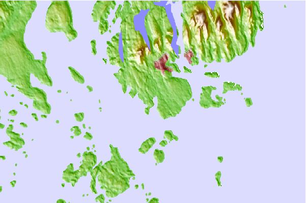
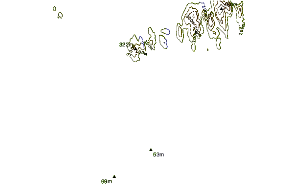
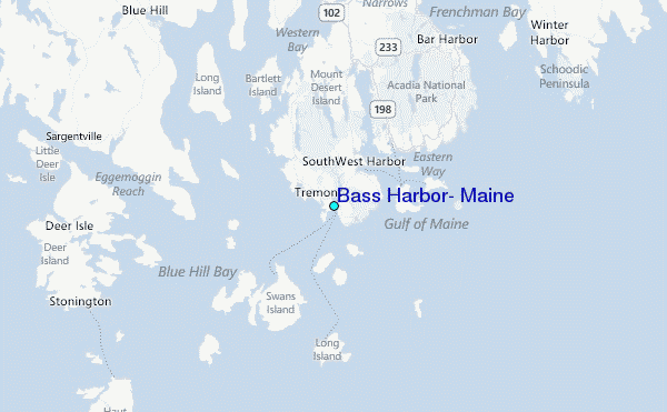
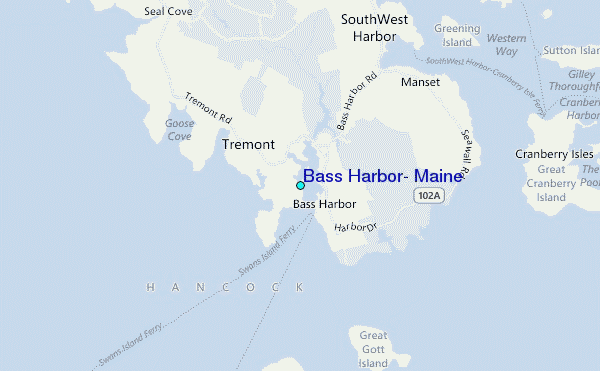
Use this relief map to navigate to tide stations, surf breaks and cities that are in the area of Bass Harbor, Maine.
Other Nearby Locations' tide tables and tide charts to Bass Harbor, Maine:
click location name for more details
 Surf breaks close to Bass Harbor, Maine:
|
||
|---|---|---|
| Closest surf break | Popham Read | 80 mi |
| Second closest surf break | Trayhan's | 88 mi |
| Third closest surf break | Two Lights | 104 mi |
| Fourth closest surf break | Doc Browns | 104 mi |
| Fifth closest surf break | Higgins Beach | 107 mi |


 Nearest
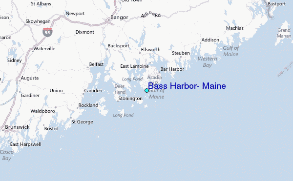