
| Distance / Altitude | Location | Report Date / Time | Live Weather | Wind | Gusts | Temp. | Visibility | Cloud |
|---|---|---|---|---|---|---|---|---|
| 112 km NNE / 10 m | Pathein Bassein (Myanmar) | 2026-03-02 06:30 local (2026/03/02 00:00 GMT) | - | calm (4 km/h at 220) | — | 7 | - few - | |
| 154 km ENE / 2 m | Phyapon (Myanmar) | 2026-03-02 07:30 local (2026/03/02 01:00 GMT) | Mist | calm (0 km/h at 0) | 20°C | 4.0 km | - few - | |
| 175 km ENE / 5 m | Maubin (Myanmar) | 2026-03-02 07:30 local (2026/03/02 01:00 GMT) | - | calm (4 km/h at 230) | — | 5 | - clear - | |
| 193 km N / 1 m | Gwa (Myanmar) | 2026-03-02 06:30 local (2026/03/02 00:00 GMT) | intermittent light drizzle | - (- km/h at -) | 27°C | 6 | - | |
| 218 km S / 3 m | Coco Island (Myanmar) | 2026-03-02 07:30 local (2026/03/02 01:00 GMT) | clouds developing | calm (0 km/h at 0) | 21°C | 4 km | - few - | |
| 226 km ENE / 345 m | Yangon International Airport- Myanmar (Viet Nam) | 2026-03-02 07:00 local (2026/03/02 00:30 GMT) | Mist - | calm (4 km/h at 250) | 21°C | 5.0 | few | |
| 228 km ENE / 20 m | Yangon (Myanmar) | 2026-03-02 07:30 local (2026/03/02 01:00 GMT) | light to moderate thunderstorm | calm (2 km/h at 220) | 27°C | 6 | - few - | |
| 232 km NE / 8 m | Hmawbi (Myanmar) | 2026-03-02 06:30 local (2026/03/02 00:00 GMT) | Fog, sky not visible, becoming thicker | calm (0 km/h at 0) | 18°C | 1.0 km | sky obscured | |
| 233 km ENE / 29 m | Mingaladon (Myanmar) | 2026-03-02 06:30 local (2026/03/02 00:00 GMT) | Mist | calm (4 km/h at 240) | 21°C | 5.0 km | - few - | |
| 233 km NNE / 26 m | Hinthada (Myanmar) | 2026-03-02 06:30 local (2026/03/02 00:00 GMT) | Fog, sky not visible, thinning | calm (0 km/h at 0) | 17°C | 3.0 km | - mostly cloudy - |
| Contours: | Roads & Rivers: | Select a
tide station / surf break / city |
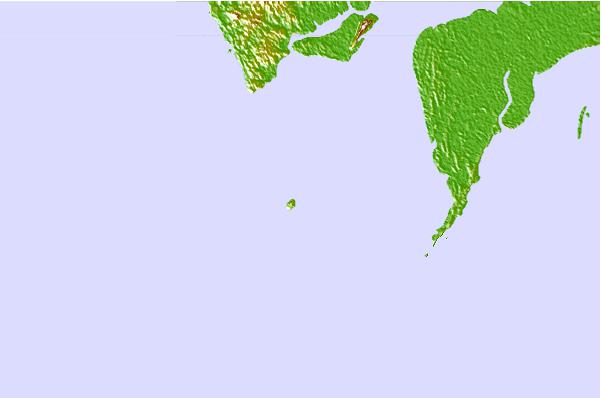
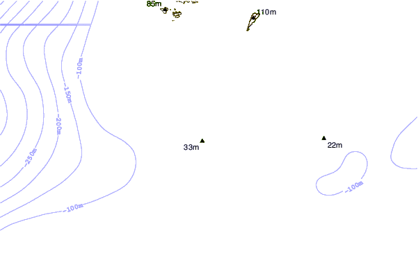
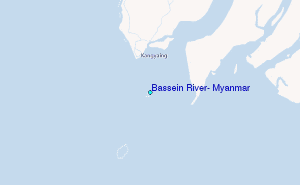
Use this relief map to navigate to tide stations, surf breaks and cities that are in the area of Bassein River, Myanmar.
Other Nearby Locations' tide tables and tide charts to Bassein River, Myanmar:
click location name for more details
 Surf breaks close to Bassein River, Myanmar:
|
||
|---|---|---|
| Closest surf break | Butlers Bay (South Andaman) | 306 mi |
| Second closest surf break | Corbyns Cove (South Andaman) | 310 mi |
| Third closest surf break | Sentinel (South Andaman) | 327 mi |
| Fourth closest surf break | Twin Islands (South Andaman) | 330 mi |
| Fifth closest surf break | Jarawa Point (Totems Reef) | 331 mi |


 Nearest
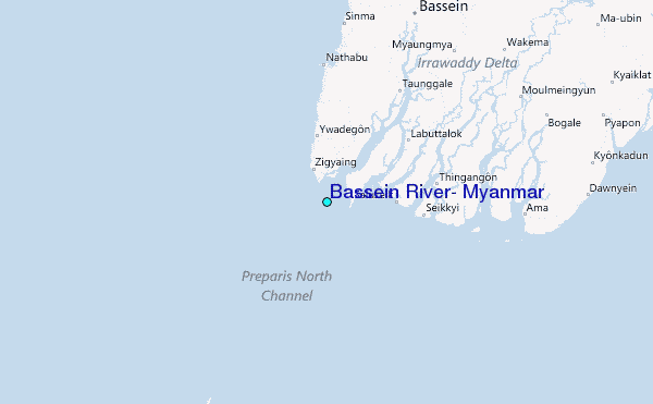