
| Distance / Altitude | Location | Report Date / Time | Live Weather | Wind | Gusts | Temp. | Visibility | Cloud |
|---|---|---|---|---|---|---|---|---|
| 33 km N / 100 m | Ambulong (Philippines) | 2026-06-01 20:00 local (2026/06/01 12:00 GMT) | no report | - (- km/h at -) | 31°C | 18 | - - - | |
| 43 km ESE / 6 m | Laiya (Philippines) | 2026-06-01 21:16 local (2026/06/01 13:16 GMT) | dry | - (- km/h at ) | — | - | - - 0 | |
| 44 km SSE / 41 m | Calapan (Philippines) | 2026-06-01 20:00 local (2026/06/01 12:00 GMT) | haze | calm (4 km/h at 90) | 30°C | 20 | - | |
| 67 km ENE / 216 m | Tayabas (Philippines) | 2026-06-01 20:00 local (2026/06/01 12:00 GMT) | state of sky unchanged | wind obs. (7 kph from 40 degs) was rejected (- km/h at -) | 29°C | 8 | - | |
| 73 km N / 22 m | Sucat (Philippines) | 2026-06-01 21:08 local (2026/06/01 13:08 GMT) | dry | calm (0 km/h at 182) | 26°C | - | - - 0 | |
| 78 km N / 26 m | Paranaque (Philippines) | 2026-06-01 21:45 local (2026/06/01 13:45 GMT) | dry | calm (0 km/h at 188) | 26°C | - | - - 0 | |
| 80 km N / 15 m | Ninoy Aquino International Airport (Philippines) | 2026-06-01 20:00 local (2026/06/01 12:00 GMT) | no report | wind obs. (11 kph from 80 degs) was rejected (- km/h at -) | 32°C | 10 | - - - | |
| 81 km N / 2 m | Sangley Point (Philippines) | 2026-06-01 20:00 local (2026/06/01 12:00 GMT) | no report | wind obs. (18 kph from 90 degs) was rejected (- km/h at -) | 32°C | 10 | - - - | |
| 82 km N / 217 m | Ninoy Aquino International Airport (Manila) (Philippines) | 2026-06-01 20:40 local (2026/06/01 12:40 GMT) | Thunderstorm light rain thunderstorm | light winds from the SSW.(Wind varies from 180 to 240 degs) (7 km/h at 210) | 27°C | 10.0 | few broken overcast | |
| 94 km NNE / 217 m | Tanay (Philippines) | 2026-06-01 20:00 local (2026/06/01 12:00 GMT) | haze | wind obs. (7 kph from 120 degs) was rejected (- km/h at -) | 26°C | 15 | - |
| Contours: | Roads & Rivers: | Select a
tide station / surf break / city |
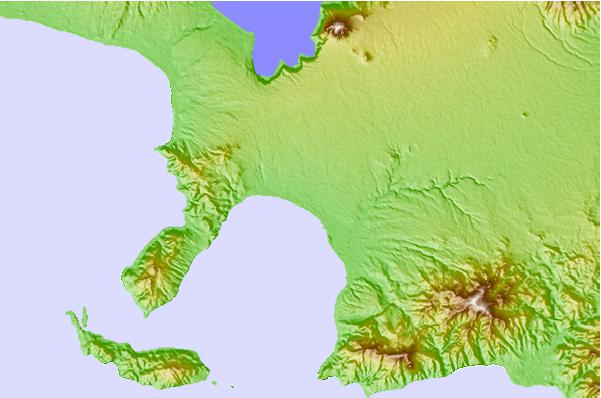
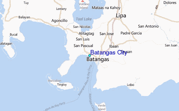
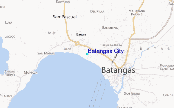
Use this relief map to navigate to tide stations, surf breaks and cities that are in the area of Batangas City.
Other Nearby Locations' tide tables and tide charts to Batangas City:
click location name for more details
 Surf breaks close to Batangas City:
|
||
|---|---|---|
| Closest surf break | Bagasbas Beach | 134 mi |
| Second closest surf break | Cobra Reef - Cemento | 142 mi |
| Third closest surf break | Baler - Charlie's Point | 142 mi |
| Fourth closest surf break | Baler - Lindy's Point | 142 mi |
| Fifth closest surf break | Baler - Sabang | 142 mi |


 Nearest
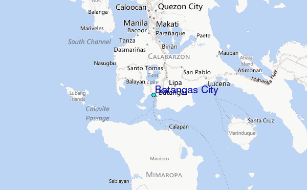