
| Distance / Altitude | Location | Report Date / Time | Live Weather | Wind | Gusts | Temp. | Visibility | Cloud |
|---|---|---|---|---|---|---|---|---|
| 5 km WNW / 3 m | BUOY-WPTW1 (Marine) | 2025-12-25 15:36 local (2025/12/25 23:36 GMT) | light winds from the S (18 km/h at 170) | — | - | |||
| 13 km WSW / 3 m | Grays Harbor- WA (Marine) | 2025-12-25 15:56 local (2025/12/25 23:56 GMT) | - (- km/h at -) | — | - | |||
| 16 km NE / 215 m | Hoquiam Airport (Washington) | 2025-12-25 14:53 local (2025/12/25 22:53 GMT) | Dry and partly cloudy | light winds from the E (19 km/h at 90) | 7°C | 16 | scattered broken broken | |
| 18 km SSE / 3 m | BUOY-TOKW1 (Marine) | 2025-12-25 15:48 local (2025/12/25 23:48 GMT) | moderate winds from the S (28 km/h at 170) | — | - | |||
| 72 km S / 3 m | Clatsop Spit- OR (Marine) | 2025-12-25 16:00 local (2025/12/26 00:00 GMT) | - (- km/h at -) | — | - | |||
| 75 km WNW / 3 m | Cape Elizabeth (Marine) | 2025-12-25 15:50 local (2025/12/25 23:50 GMT) | fresh winds from the SSE (36 km/h at 160) | 11°C | - | |||
| 76 km SSE / 3 m | BUOY-ASTO3 (Marine) | 2025-12-25 15:48 local (2025/12/25 23:48 GMT) | light winds from the ENE (8 km/h at 60) | — | - | |||
| 77 km WNW / - m | SHIP630 (ocean) | 2025-12-25 15:00 local (2025/12/25 23:00 GMT) | - | fresh winds from the SSE (36 km/h at 150) | 10°C | - | no observation | |
| 77 km WNW / - m | SHIP350 (ocean) | 2025-12-25 15:00 local (2025/12/25 23:00 GMT) | - | strong winds from the SSE (40 km/h at 150) | 10°C | - | no observation | |
| 77 km WNW / - m | SHIP179 (ocean) | 2025-12-25 15:00 local (2025/12/25 23:00 GMT) | - | strong winds from the SSE (47 km/h at 150) | 10°C | - | no observation |
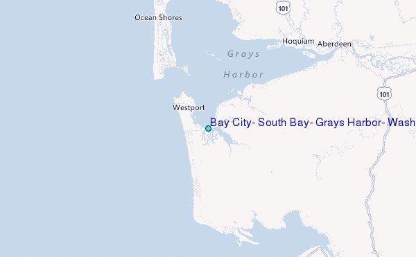
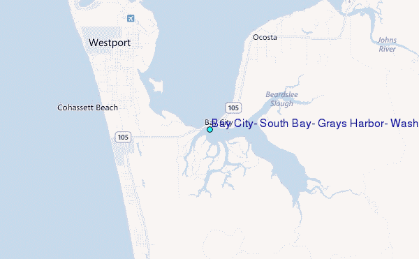
Choose Bay City, South Bay, Grays Harbor, Washington Location Map Zoom:
| Contours: | Roads & Rivers: | Select a
tide station / surf break / city |
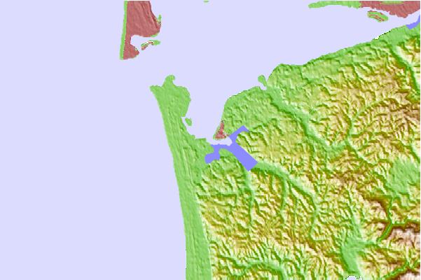
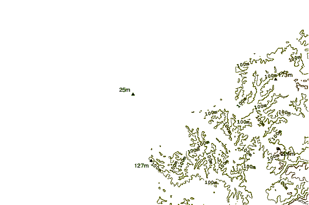
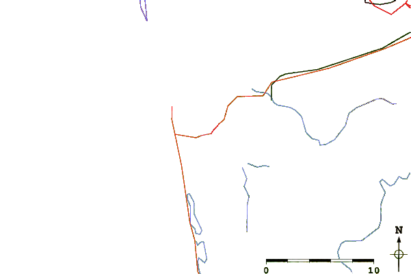
Use this relief map to navigate to tide stations, surf breaks and cities that are in the area of Bay City, South Bay, Grays Harbor, Washington.
Other Nearby Locations' tide tables and tide charts to Bay City, South Bay, Grays Harbor, Washington:
click location name for more details
 Surf breaks close to Bay City, South Bay, Grays Harbor, Washington:
|
||
|---|---|---|
| Closest surf break | Westport-The Corner | 2 mi |
| Second closest surf break | Half Moon Bay | 4 mi |
| Third closest surf break | Westport-The Cove | 4 mi |
| Fourth closest surf break | Westport-The Groins | 4 mi |
| Fifth closest surf break | Damon Point | 6 mi |


 Nearest
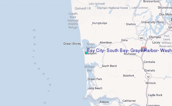