
| Distance / Altitude | Location | Report Date / Time | Live Weather | Wind | Gusts | Temp. | Visibility | Cloud |
|---|---|---|---|---|---|---|---|---|
| 4 km ENE / 3 m | Pine Bluff wx (United States) | 2026-03-07 18:14 local (2026/03/08 00:14 GMT) | dry | calm (0 km/h at 203) | 21°C | - | - - 0 | |
| 6 km NW / 8 m | East Milton wx (United States) | 2026-03-07 18:46 local (2026/03/08 00:46 GMT) | dry | calm (0 km/h at 221) | 21°C | - | - - 0 | |
| 9 km SSE / 34 m | CHOCTAW- WHITING FIELD- NOLF (FL) (United States) | 2026-03-07 16:48 local (2026/03/07 22:48 GMT) | Dry and partly cloudy | light winds from the SE (15 km/h at 140) | 23°C | 16 | broken | |
| 11 km NW / 55 m | Milton (Florida) | 2026-03-07 18:02 local (2026/03/08 00:02 GMT) | dry | calm (0 km/h at 265) | 22°C | - | - - 0 | |
| 13 km NW / 47 m | Milton (Florida) | 2026-03-07 18:04 local (2026/03/08 00:04 GMT) | dry | calm (0 km/h at 163) | 22°C | - | - - 0 | |
| 13 km N / 210 m | Milton- Whiting Field South (FL) Airport (United States) | 2026-03-07 17:38 local (2026/03/07 23:38 GMT) | Dry and cloudy | light winds from the S (9 km/h at 190) | 23°C | 16 | overcast | |
| 15 km WNW / 53 m | Wallace wx (United States) | 2026-03-07 18:23 local (2026/03/08 00:23 GMT) | dry | calm (0 km/h at 106) | 21°C | - | - - 0 | |
| 15 km SSW / 3 m | Milton (Florida) | 2026-03-07 18:27 local (2026/03/08 00:27 GMT) | - | calm (5 km/h at 98) | 21°C | - | - - 0 | |
| 17 km W / 58 m | Wallace wx (United States) | 2026-03-07 18:46 local (2026/03/08 00:46 GMT) | dry | calm (3 km/h at 150) | 22°C | - | - - 0 | |
| 17 km N / 194 m | Whiting Field Naval Air Station Airport (Florida) | 2026-03-07 17:17 local (2026/03/07 23:17 GMT) | Dry and partly cloudy | light winds from the S (17 km/h at 170) | 23°C | 16 | broken |
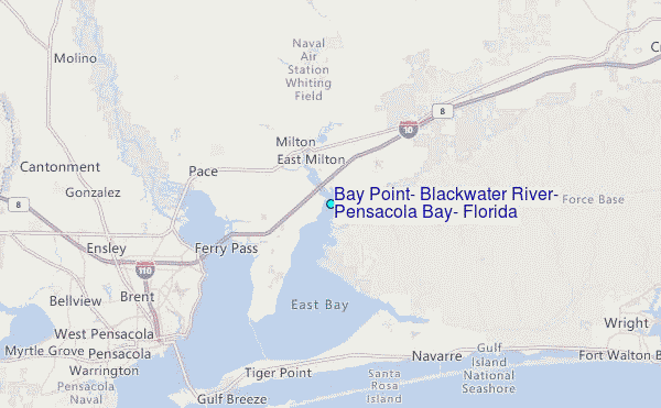
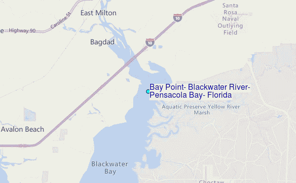
Choose Bay Point, Blackwater River, Pensacola Bay, Florida Location Map Zoom:
| Contours: | Roads & Rivers: | Select a
tide station / surf break / city |
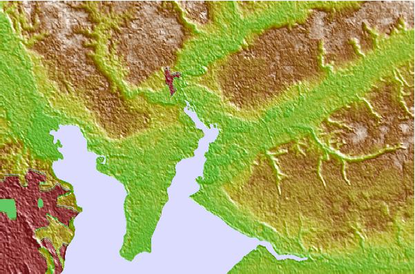
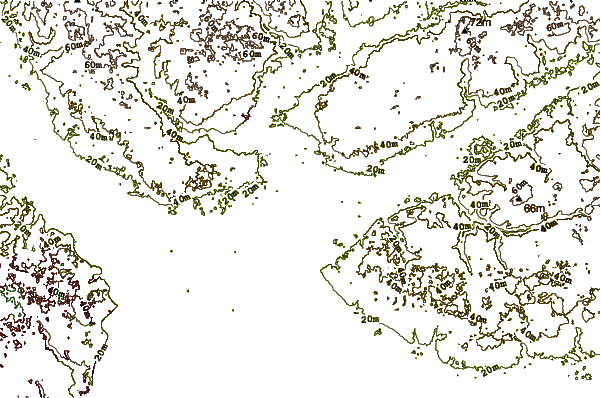
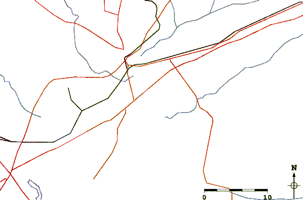
Use this relief map to navigate to tide stations, surf breaks and cities that are in the area of Bay Point, Blackwater River, Pensacola Bay, Florida.
Other Nearby Locations' tide tables and tide charts to Bay Point, Blackwater River, Pensacola Bay, Florida:
click location name for more details
 Surf breaks close to Bay Point, Blackwater River, Pensacola Bay, Florida:
|
||
|---|---|---|
| Closest surf break | Navarre Beach Pier | 16 mi |
| Second closest surf break | Calle Hermosa | 17 mi |
| Third closest surf break | 17th Ave | 17 mi |
| Fourth closest surf break | Pensacola Beach Pier | 18 mi |
| Fifth closest surf break | Pensacola Beach | 18 mi |


 Nearest
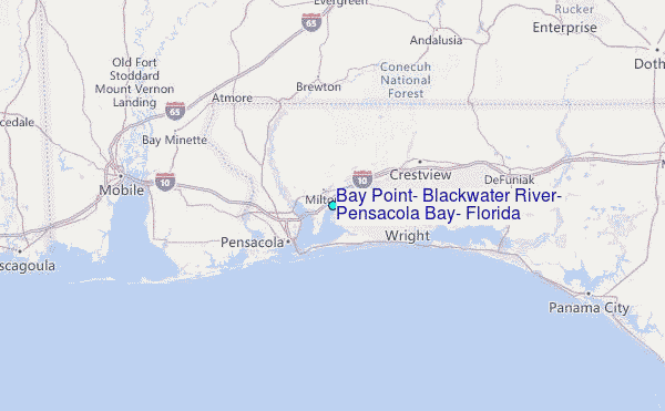