
| Distance / Altitude | Location | Report Date / Time | Live Weather | Wind | Gusts | Temp. | Visibility | Cloud |
|---|---|---|---|---|---|---|---|---|
| 27 km NNE / 3 m | BUOY-ADKA2 (Marine) | 2026-04-20 16:48 local (2026/04/21 01:48 GMT) | near gales from the SE (55 km/h at 140) | — | - | |||
| 29 km NNE / 506 m | Adak Naval Air Station Airport (Alaska) | 2026-04-20 16:36 local (2026/04/21 01:36 GMT) | - | fresh winds from the SSE (35 km/h at 150) | 3°C | 0.0 | ||
| 191 km ENE / 211 m | Atka Airport (Alaska) | 2026-04-20 16:35 local (2026/04/21 01:35 GMT) | Dry and cloudy | strong winds from the SE (39 km/h at 130) | 6°C | 16 | broken overcast | |
| 194 km ENE / 3 m | BUOY-ATKA2 (Marine) | 2026-04-20 16:48 local (2026/04/21 01:48 GMT) | fresh winds from the SE (33 km/h at 130) | — | - | |||
| 246 km SW / 3 m | Western Aleutians Buoy (Marine) | 2026-04-20 16:50 local (2026/04/21 01:50 GMT) | - (40 km/h at -) | — | - | |||
| 324 km E / 3 m | Central Aleutians Buoy (Marine) | 2026-04-20 16:50 local (2026/04/21 01:50 GMT) | - (- km/h at -) | — | - | |||
| 356 km ESE / 3 m | SHIP8141 (Marine) | 2026-04-20 15:00 local (2026/04/21 00:00 GMT) | near gales from the SSE (58 km/h at 160) | 5°C | - | |||
| 356 km ESE / 15 m | SHIP4323 (Marine) | 2026-04-20 15:00 local (2026/04/21 00:00 GMT) | near gales from the SSE (57.6 km/h at 160) | — | - km | |||
| 356 km ESE / 15 m | SHIP8146 (Marine) | 2026-04-20 15:00 local (2026/04/21 00:00 GMT) | near gales from the SSE (57.6 km/h at 160) | — | - km | |||
| 356 km ESE / 15 m | SHIP3034 (Marine) | 2026-04-20 15:00 local (2026/04/21 00:00 GMT) | near gales from the SSE (57.6 km/h at 160) | — | - km |
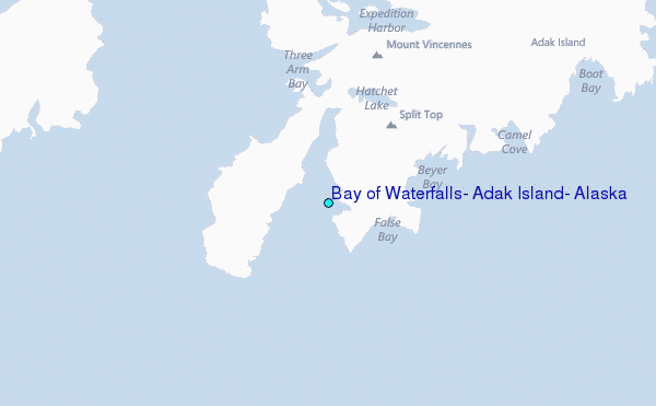
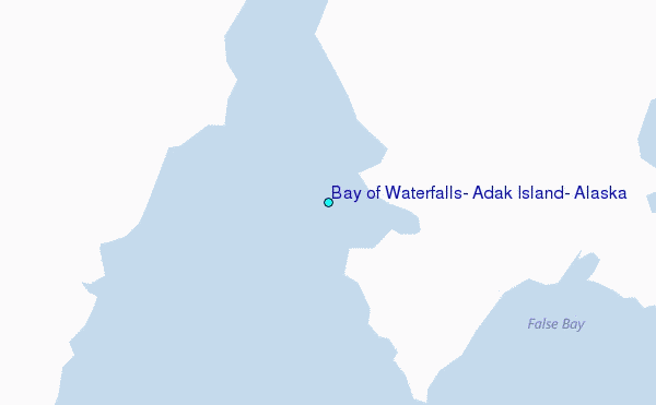
Choose Bay of Waterfalls, Adak Island, Alaska Location Map Zoom:
| Contours: | Roads & Rivers: | Select a
tide station / surf break / city |
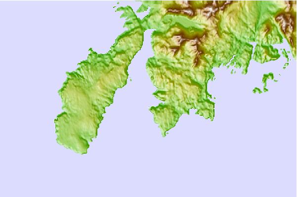
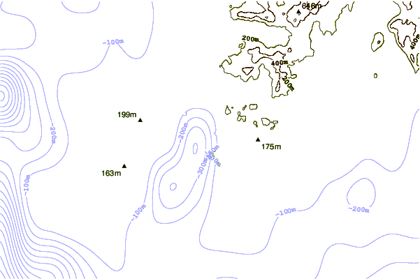
Use this relief map to navigate to tide stations, surf breaks and cities that are in the area of Bay of Waterfalls, Adak Island, Alaska.
Other Nearby Locations' tide tables and tide charts to Bay of Waterfalls, Adak Island, Alaska:
click location name for more details
 Surf breaks close to Bay of Waterfalls, Adak Island, Alaska:
|
||
|---|---|---|
| Closest surf break | Khalaktyrsky Beach | 1026 mi |
| Second closest surf break | Fossil Beach Kodiak | 1053 mi |
| Third closest surf break | Monashka Bay | 1056 mi |
| Fourth closest surf break | Termination Point | 1057 mi |
| Fifth closest surf break | Mill Bay | 1058 mi |


 Nearest
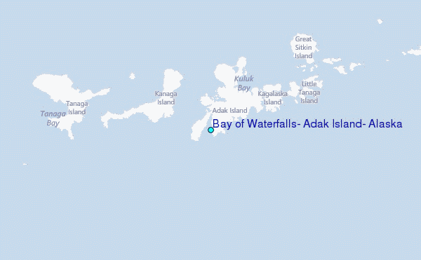