
| Distance / Altitude | Location | Report Date / Time | Live Weather | Wind | Gusts | Temp. | Visibility | Cloud |
|---|---|---|---|---|---|---|---|---|
| 39 km E / 280 m | Bet Govrin (Israel) | 2024-04-26 10:37 local (2024/04/26 07:37 GMT) | - | calm (0 km/h at 0) | — | - | - - 0 | |
| 44 km SE / 280 m | Beer Sheva City (Israel) | 2024-04-26 09:00 local (2024/04/26 06:00 GMT) | no report | calm (4 km/h at 290) | 22°C | - | - - - | |
| 49 km NE / 63 m | Nes Tziona (Israel) | 2024-04-26 09:53 local (2024/04/26 06:53 GMT) | dry | calm (2 km/h at 303) | 24°C | - | - - 0 | |
| 51 km NNE / 52 m | Nes-Tziona (Israel) | 2024-04-26 10:41 local (2024/04/26 07:41 GMT) | dry | - (- km/h at ) | — | - | - - 0 | |
| 58 km NNE / 30 m | Bet Dagan (Israel) | 2024-04-26 09:00 local (2024/04/26 06:00 GMT) | no report | light winds from the SSW (7 km/h at 210) | 23°C | 10 | - |
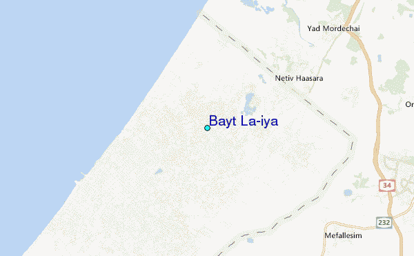
| Contours: | Roads & Rivers: | Select a
tide station / surf break / city |
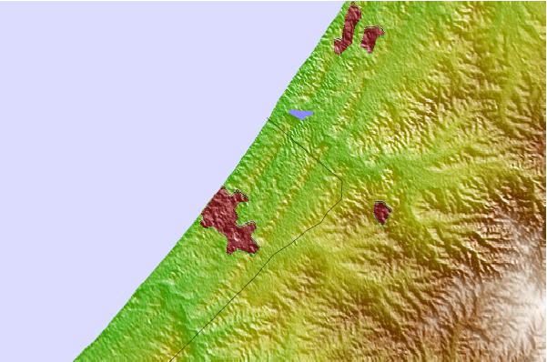
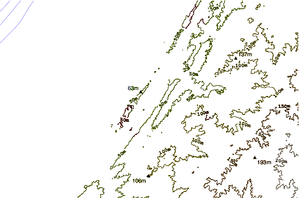
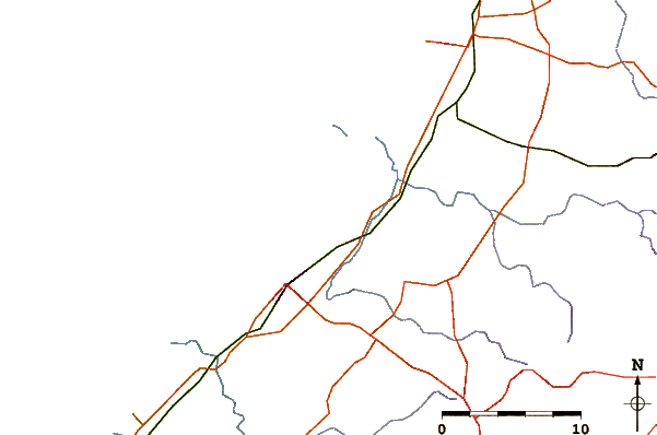
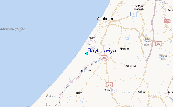
Use this relief map to navigate to tide stations, surf breaks and cities that are in the area of Bayt La'iya.
Other Nearby Locations' tide tables and tide charts to Bayt La'iya:
click location name for more details
 Surf breaks close to Bayt La'iya:
|
||
|---|---|---|
| Closest surf break | Gaza Harbourmouth | 4 mi |
| Second closest surf break | Ziqim ( Zikim) Beach | 4 mi |
| Third closest surf break | Ashkelon Shimshon | 9 mi |
| Fourth closest surf break | Tayelet Ashkelon | 10 mi |
| Fifth closest surf break | Bat-yam (al gal) or Tubego Beach | 17 mi |

 Nearest