
| Distance / Altitude | Location | Report Date / Time | Live Weather | Wind | Gusts | Temp. | Visibility | Cloud |
|---|---|---|---|---|---|---|---|---|
| 33 km NE / 3 m | East Santa Barbara Buoy (Marine) | 2026-07-28 17:20 local (2026/07/29 00:20 GMT) | moderate winds from the W (22 km/h at 270) | 19°C | - | |||
| 42 km S / 3 m | South Santa Rosa Island Buoy (Marine) | 2026-07-28 17:20 local (2026/07/29 00:20 GMT) | strong winds from the NW (40 km/h at 320) | 16°C | - | |||
| 49 km WNW / 3 m | Santa Barbara Buoy (Marine) | 2026-07-28 17:20 local (2026/07/29 00:20 GMT) | strong winds from the NW (43 km/h at 310) | — | - | |||
| 50 km NNE / 218 m | Santa Barbara Airport (California) | 2026-07-28 15:53 local (2026/07/28 22:53 GMT) | Clear | light winds from the WSW (15 km/h at 250) | 24°C | 16 | ||
| 51 km ESE / 3 m | Santa Cruz Basin- CA (Marine) | 2026-07-28 17:26 local (2026/07/29 00:26 GMT) | - (- km/h at -) | 20°C | - | |||
| 55 km NE / 3 m | BUOY-NTBC1 (Marine) | 2026-07-28 16:36 local (2026/07/28 23:36 GMT) | moderate winds from the SW (21 km/h at 220) | 22°C | - | |||
| 66 km N / 220 m | Santa Ynez Airport (California) | 2026-07-28 16:35 local (2026/07/28 23:35 GMT) | Clear | moderate winds from the W (24 km/h at 270) | 27°C | 16 | ||
| 78 km NW / 150 m | Lompoc (California) | 2026-07-28 17:41 local (2026/07/29 00:41 GMT) | - | calm (0 km/h at ) | — | - | - - 0 | |
| 81 km ENE / 217 m | Oxnard Airport (California) | 2026-07-28 15:51 local (2026/07/28 22:51 GMT) | Clear | moderate winds from the W (22 km/h at 270) | 23°C | 14 | ||
| 83 km WNW / 3 m | Harvest- CA (Marine) | 2026-07-28 17:26 local (2026/07/29 00:26 GMT) | - (- km/h at -) | 15°C | - |
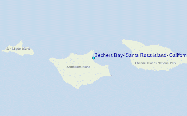
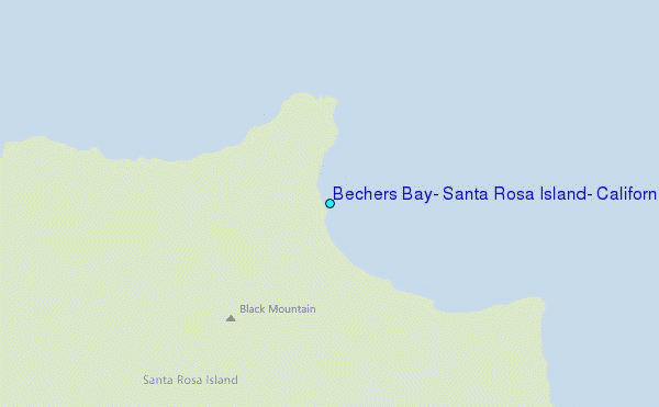
Choose Bechers Bay, Santa Rosa Island, California Location Map Zoom:
| Contours: | Roads & Rivers: | Select a
tide station / surf break / city |
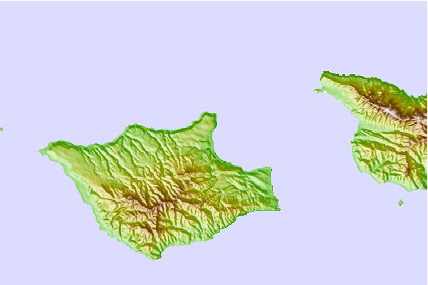
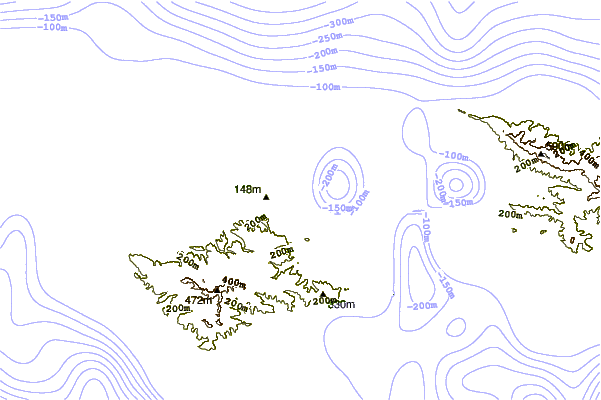
Use this relief map to navigate to tide stations, surf breaks and cities that are in the area of Bechers Bay, Santa Rosa Island, California.
Other Nearby Locations' tide tables and tide charts to Bechers Bay, Santa Rosa Island, California:
click location name for more details
 Surf breaks close to Bechers Bay, Santa Rosa Island, California:
|
||
|---|---|---|
| Closest surf break | Devereux | 29 mi |
| Second closest surf break | Isla Vista | 29 mi |
| Third closest surf break | Sand Beach | 29 mi |
| Fourth closest surf break | Campus Point | 30 mi |
| Fifth closest surf break | Depressions | 30 mi |


 Nearest
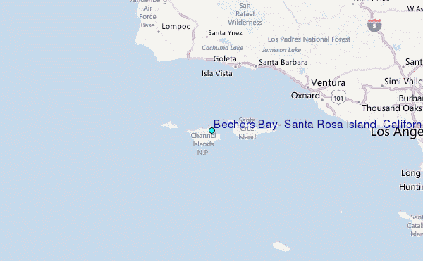