
| Distance / Altitude | Location | Report Date / Time | Live Weather | Wind | Gusts | Temp. | Visibility | Cloud |
|---|---|---|---|---|---|---|---|---|
| 38 km NW / 215 m | Kake Airport (Alaska) | 2026-02-27 14:44 local (2026/02/27 23:44 GMT) | Light snow | light winds from the NE (7 km/h at 50) | -1°C | 16 | overcast | |
| 49 km ENE / 46 m | Scow Bay wx (United States) | 2026-02-27 15:47 local (2026/02/28 00:47 GMT) | - | calm (0 km/h at 225) | 0°C | - | - - 0 | |
| 50 km ENE / 216 m | Petersburg Airport (Alaska) | 2026-02-27 13:56 local (2026/02/27 22:56 GMT) | Moderate rain | wind obs. (6 kph from 120 degs) was rejected (- km/h at -) | -1°C | 16 | scattered overcast | |
| 69 km N / 3 m | BUOY-FFIA2 (Marine) | 2026-02-27 15:00 local (2026/02/28 00:00 GMT) | moderate winds from the N (22 km/h at 10) | -3°C | - | |||
| 77 km S / 3 m | BUOY-CDEA2 (Marine) | 2026-02-27 15:22 local (2026/02/28 00:22 GMT) | light winds from the SSW (17 km/h at 210) | 2°C | - | |||
| 85 km ESE / 3 m | BUOY-WGXA2 (Marine) | 2026-02-27 15:32 local (2026/02/28 00:32 GMT) | calm (2 km/h at 90) | 1°C | - | |||
| 85 km ESE / 215 m | Wrangell Airport (Alaska) | 2026-02-27 13:56 local (2026/02/27 22:56 GMT) | Dry and partly cloudy | light winds from the NNW (6 km/h at 340) | 0°C | 16 | few scattered broken | |
| 91 km SE / 3 m | BUOY-LCNA2 (Marine) | 2026-02-27 15:10 local (2026/02/28 00:10 GMT) | light winds from the S (8 km/h at 170) | 3°C | - | |||
| 92 km ESE / 243 m | Thoms Place wx (United States) | 2026-02-27 15:14 local (2026/02/28 00:14 GMT) | - | calm (5 km/h at 70) | 1°C | - | - - 0 | |
| 108 km NW / 210 m | Angoon Seaplane Base Airport (United States) | 2026-02-27 13:56 local (2026/02/27 22:56 GMT) | Light snow | wind obs. (11 kph from 30 degs) was rejected (- km/h at -) | -4°C | 6 | overcast overcast overcast |
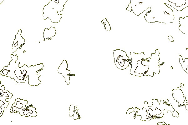
| Contours: | Roads & Rivers: | Select a
tide station / surf break / city |
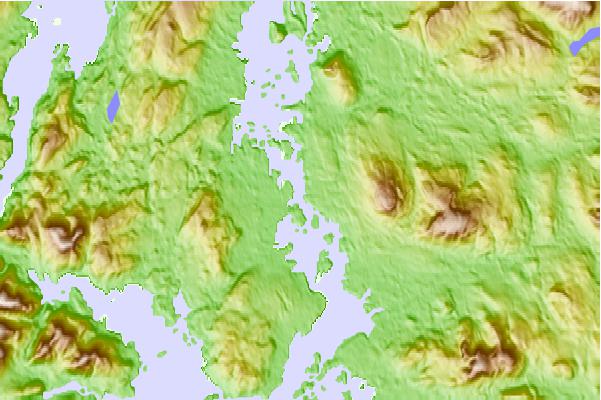
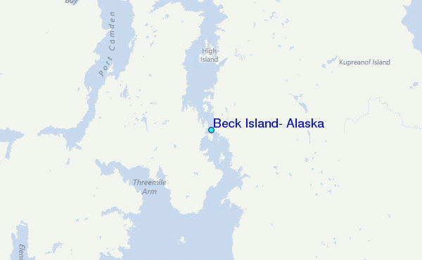
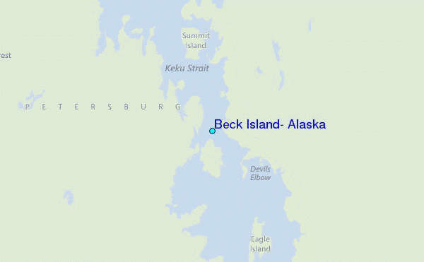
Use this relief map to navigate to tide stations, surf breaks and cities that are in the area of Beck Island, Alaska.
Other Nearby Locations' tide tables and tide charts to Beck Island, Alaska:
click location name for more details
 Surf breaks close to Beck Island, Alaska:
|
||
|---|---|---|
| Closest surf break | Lepus Beach (Haida-Gwaii) | 173 mi |
| Second closest surf break | Tow Hill Beach | 193 mi |
| Third closest surf break | Cannon Beach | 296 mi |
| Fourth closest surf break | Graveyards | 300 mi |
| Fifth closest surf break | Ocean Cape | 301 mi |


 Nearest
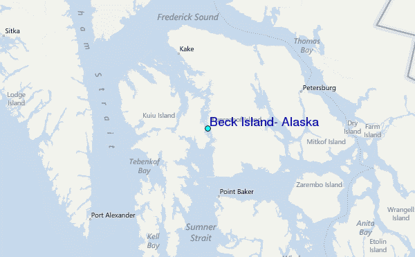