
| Distance / Altitude | Location | Report Date / Time | Live Weather | Wind | Gusts | Temp. | Visibility | Cloud |
|---|---|---|---|---|---|---|---|---|
| 99 km S / 218 m | Port Hedland International Airport (Australia) | 2026-04-30 08:30 local (2026/04/30 00:30 GMT) | Dry and partly cloudy | light winds from the SSW (7 km/h at 200) | 28°C | 10.0 | no cloud | |
| 99 km S / 8 m | PortHedlandAirport (Australia) | 2026-04-30 09:00 local (2026/04/30 01:00 GMT) | no report | light winds from the SW (11 km/h at 220) | 22°C | - | - no observation - | |
| 184 km E / 78 m | Mandora (Australia) | 2026-04-30 09:00 local (2026/04/30 01:00 GMT) | no report | light winds from the SE (17 km/h at 130) | 26°C | - | - | |
| 188 km SSE / 239 m | Marble Bar (Australia) | 2026-04-30 09:00 local (2026/04/30 01:00 GMT) | no report | light winds from the SE (19 km/h at 130) | 21°C | - | - no observation - | |
| 231 km N / 8 m | Rowley Shoals (Australia) | 2026-04-30 09:00 local (2026/04/30 01:00 GMT) | No report | light winds from the S (6 km/h at 180) | 28°C | - | - no observation - | |
| 240 km SW / 11 m | RoebourneAero (Australia) | 2026-04-30 09:00 local (2026/04/30 01:00 GMT) | no report | wind obs. (20 kph from 110 degs) was rejected (- km/h at -) | 24°C | - | - no observation - | |
| 251 km SW / 30 m | Legendre Island (Australia) | 2026-04-30 09:00 local (2026/04/30 01:00 GMT) | No report | light winds from the SSW (19 km/h at 210) | 28°C | - | - no observation - | |
| 272 km SW / 6 m | KarrathaAero (Australia) | 2026-04-30 08:00 local (2026/04/30 00:00 GMT) | Clear skies | light winds from the SW (11 km/h at 220) | 23°C | - | - no observation - | |
| 306 km S / 559 m | KarijiniNorth (Australia) | 2026-04-30 09:00 local (2026/04/30 01:00 GMT) | no report | wind obs. (15 kph from 100 degs) was rejected (- km/h at -) | 18°C | - | - no observation - | |
| 372 km SW / 240 m | Mardie (Australia) | 2026-04-30 09:00 local (2026/04/30 01:00 GMT) | no report | light winds from the WSW (7 km/h at 250) | 24°C | - | - |
| Contours: | Roads & Rivers: | Select a
tide station / surf break / city |


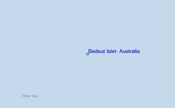
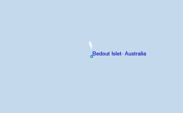
Use this relief map to navigate to tide stations, surf breaks and cities that are in the area of Bedout Islet, Australia.
Other Nearby Locations' tide tables and tide charts to Bedout Islet, Australia:
click location name for more details
 Surf breaks close to Bedout Islet, Australia:
|
||
|---|---|---|
| Closest surf break | Gantheaume Point (Broome) | 231 mi |
| Second closest surf break | Cable Beach (Broome) | 236 mi |
| Third closest surf break | Dunes | 355 mi |
| Fourth closest surf break | Lighthouse Bombie | 365 mi |
| Fifth closest surf break | Gnaraloo | 459 mi |


 Nearest
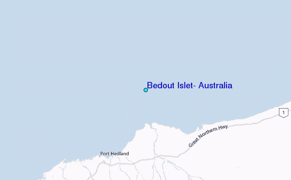