
| Distance / Altitude | Location | Report Date / Time | Live Weather | Wind | Gusts | Temp. | Visibility | Cloud |
|---|---|---|---|---|---|---|---|---|
| 4 km SSW / 3 m | SHIP2093 (Marine) | 2025-12-25 08:00 local (2025/12/25 12:00 GMT) | - (- km/h at -) | 24°C | - | |||
| 4 km SSW / 15 m | SHIP8149 (Marine) | 2025-12-25 09:00 local (2025/12/25 13:00 GMT) | - (- km/h at -) | — | - km | |||
| 4 km SSW / 3 m | SHIP5372 (Marine) | 2025-12-25 08:00 local (2025/12/25 12:00 GMT) | - (- km/h at -) | 25°C | - | |||
| 4 km SSW / 15 m | SHIP8222 (Marine) | 2025-12-25 09:00 local (2025/12/25 13:00 GMT) | - (- km/h at -) | — | - km | |||
| 4 km SSW / 3 m | SHIP5800 (Marine) | 2025-12-25 08:00 local (2025/12/25 12:00 GMT) | - (- km/h at -) | 24°C | - | |||
| 4 km SSW / 3 m | SHIP1894 (Marine) | 2025-12-25 09:00 local (2025/12/25 13:00 GMT) | - (- km/h at -) | 25°C | - | |||
| 4 km SSW / 3 m | SHIP7933 (Marine) | 2025-12-25 08:00 local (2025/12/25 12:00 GMT) | - (- km/h at -) | 25°C | - | |||
| 4 km SSW / 3 m | SHIP5371 (Marine) | 2025-12-25 08:00 local (2025/12/25 12:00 GMT) | - (- km/h at -) | 24°C | - | |||
| 4 km SSW / 3 m | SHIP1336 (Marine) | 2025-12-25 08:00 local (2025/12/25 12:00 GMT) | - (- km/h at -) | 25°C | - | |||
| 4 km SSW / 3 m | SHIP4483 (Marine) | 2025-12-25 09:00 local (2025/12/25 13:00 GMT) | - (- km/h at -) | 26°C | - |
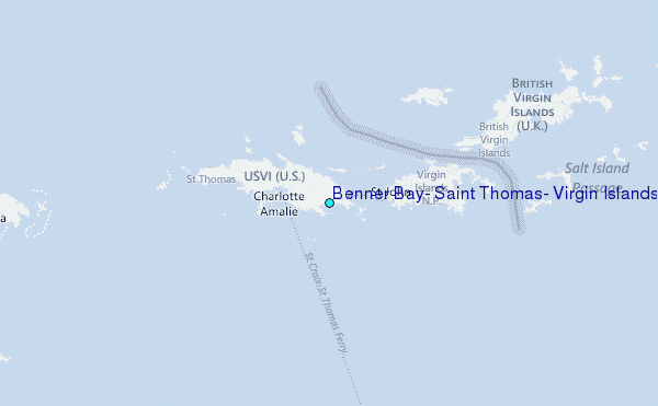
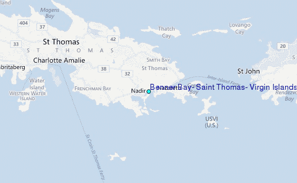
Choose Benner Bay, Saint Thomas, Virgin Islands Location Map Zoom:
| Contours: | Roads & Rivers: | Select a
tide station / surf break / city |
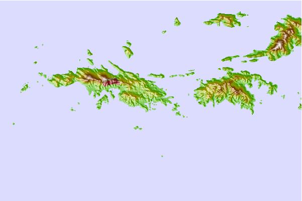
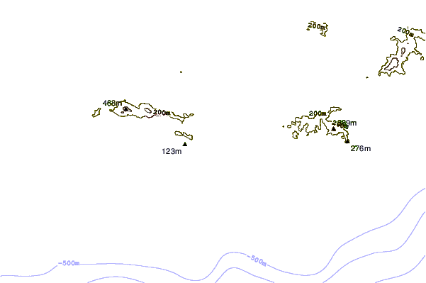
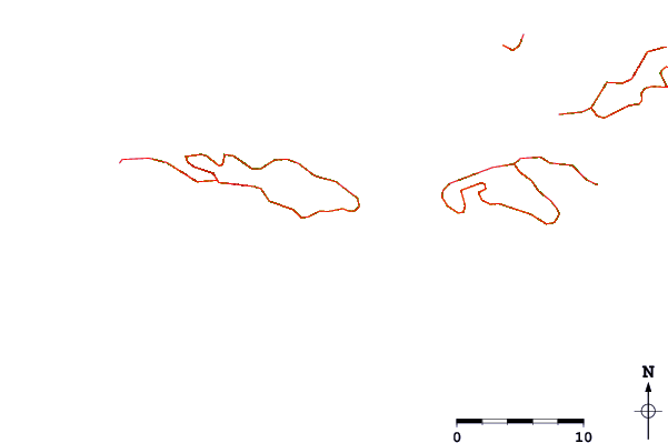
Use this relief map to navigate to tide stations, surf breaks and cities that are in the area of Benner Bay, Saint Thomas, Virgin Islands.
Other Nearby Locations' tide tables and tide charts to Benner Bay, Saint Thomas, Virgin Islands:
click location name for more details
 Surf breaks close to Benner Bay, Saint Thomas, Virgin Islands:
|
||
|---|---|---|
| Closest surf break | Sprat Bay | 5 mi |
| Second closest surf break | Hull Bay | 7 mi |
| Third closest surf break | Caret Bay | 8 mi |
| Fourth closest surf break | Botany Bay | 11 mi |
| Fifth closest surf break | Smugglers cove | 12 mi |


 Nearest
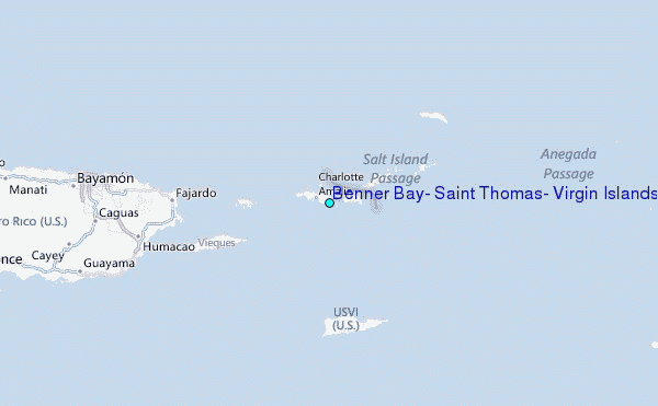