
| Distance / Altitude | Location | Report Date / Time | Live Weather | Wind | Gusts | Temp. | Visibility | Cloud |
|---|---|---|---|---|---|---|---|---|
| 25 km NE / 54 m | MontagueIslandLighhouse (Australia) | 2026-06-09 14:00 local (2026/06/09 04:00 GMT) | no report | fresh winds from the N (37 km/h at 10) | 12°C | - | - no observation - | |
| 33 km SSW / 41 m | Bega (Australia) | 2026-06-09 14:00 local (2026/06/09 04:00 GMT) | no report | light winds from the NE (13 km/h at 40) | 19°C | - | - no observation - | |
| 55 km S / 2 m | Merimbula Airport Aws (Australia) | 2026-06-09 14:00 local (2026/06/09 04:00 GMT) | no report | light winds from the ENE (11 km/h at 60) | 19°C | - | - no observation - | |
| 59 km N / 17 m | Moruya Heads (Australia) | 2026-06-09 13:00 local (2026/06/09 03:00 GMT) | no report | wind obs. (7 kph from 150 degs) was rejected (- km/h at -) | 15°C | 30 | - - - | |
| 59 km N / 17 m | Moruya Heads Pilot Station (Australia) | 2026-06-09 14:00 local (2026/06/09 04:00 GMT) | no report | wind obs. (7 kph from 150 degs) was rejected (- km/h at -) | 15°C | 30 | - - - | |
| 60 km N / 5 m | Moruya Airport (Australia) | 2026-06-09 13:00 local (2026/06/09 03:00 GMT) | no report | light winds from the NE (15 km/h at 50) | 15°C | 30 | - no observation - | |
| 92 km S / 20 m | Green Cape Aws (Australia) | 2026-06-09 14:00 local (2026/06/09 04:00 GMT) | no report | moderate winds from the NE (20 km/h at 50) | 19°C | - | - no observation - | |
| 98 km SSW / 762 m | Bombala Aws Automatic Weather Station (Australia) | 2026-06-09 14:00 local (2026/06/09 04:00 GMT) | no report | light winds from the N (19 km/h at 360) | 16°C | - | - no observation - | |
| 99 km WSW / 931 m | Cooma Airport Aws (Australia) | 2026-06-09 14:00 local (2026/06/09 04:00 GMT) | no report | moderate winds from the NNE (22 km/h at 30) | 13°C | - | - no observation - | |
| 115 km NW / 666 m | Braidwood (Australia) | 2026-06-09 14:00 local (2026/06/09 04:00 GMT) | - | calm (4 km/h at 350) | 16°C | - | - no observation - |
| Contours: | Roads & Rivers: | Select a
tide station / surf break / city |
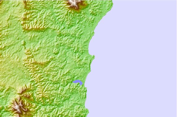
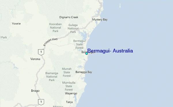
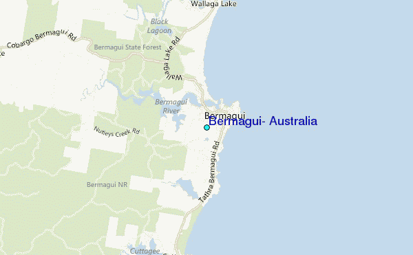
Use this relief map to navigate to tide stations, surf breaks and cities that are in the area of Bermagui, Australia.
Other Nearby Locations' tide tables and tide charts to Bermagui, Australia:
click location name for more details
 Surf breaks close to Bermagui, Australia:
|
||
|---|---|---|
| Closest surf break | Aragunnu Beach | 1 mi |
| Second closest surf break | Bears Beach | 1 mi |
| Third closest surf break | Horseshoe Bay | 1 mi |
| Fourth closest surf break | Bermagui Rivermouth | 1 mi |
| Fifth closest surf break | Camel Rock | 4 mi |


 Nearest
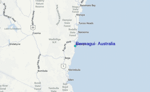