
| Distance / Altitude | Location | Report Date / Time | Live Weather | Wind | Gusts | Temp. | Visibility | Cloud |
|---|---|---|---|---|---|---|---|---|
| 23 km S / 6 m | Laiya (Philippines) | 2026-03-30 15:55 local (2026/03/30 07:55 GMT) | dry | calm (2 km/h at 173) | 30°C | - | - - 0 | |
| 80 km WNW / 22 m | Sucat (Philippines) | 2026-03-30 16:37 local (2026/03/30 08:37 GMT) | dry | light winds from the SSE (8 km/h at 152) | 31°C | - | - - 0 | |
| 86 km WNW / 26 m | Paranaque (Philippines) | 2026-03-30 16:45 local (2026/03/30 08:45 GMT) | dry | light winds from the SE (14 km/h at 129) | 31°C | - | - - 0 | |
| 90 km WNW / 217 m | Ninoy Aquino International Airport (Manila) (Philippines) | 2026-03-30 16:00 local (2026/03/30 08:00 GMT) | Dry and partly cloudy | light winds from the SE.(Wind varies from 090 to 170 degs) (17 km/h at 130) | 33°C | 10.0 | few scattered - | |
| 100 km NW / 26 m | Quezon City (Åland) | 2026-03-30 16:37 local (2026/03/30 08:37 GMT) | dry | calm (5 km/h at 207) | 33°C | - | - - 0 | |
| 166 km SSE / 47 m | Romblon Airport (Tablas Island) (Philippines) | 2026-03-30 16:00 local (2026/03/30 08:00 GMT) | Dry and partly cloudy | wind obs. (6 kph from 140 degs) was rejected (- km/h at -) | 31°C | 10.0 | few scattered | |
| 168 km WNW / 452 m | Olongapo/Subic Bay Airport (Philippines) | 2026-03-30 16:00 local (2026/03/30 08:00 GMT) | - | light winds from the SSW (11 km/h at 210) | 31°C | 10.0 | few | |
| 174 km WNW / 584 m | Angeles/Pampanga Airport (Philippines) | 2026-03-30 16:00 local (2026/03/30 08:00 GMT) | Dry and partly cloudy | light winds from the ESE (15 km/h at 110) | 34°C | 8.0 | scattered | |
| 261 km SSE / 6 m | Kalibo/panay Isl (Philippines) | 2026-03-30 16:00 local (2026/03/30 08:00 GMT) | - | light winds from the ENE.(Wind varies from 040 to 100 degs) (15 km/h at 70) | 30°C | 10.0 | few | |
| 278 km SSE / 80 m | Dalipdip wx (Philippines) | 2026-03-30 17:09 local (2026/03/30 09:09 GMT) | dry | light winds from the NNE (10 km/h at 21) | 27°C | - | - - 0 |
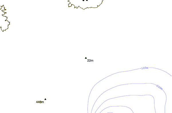
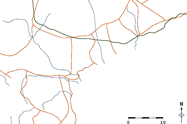
| Contours: | Roads & Rivers: | Select a
tide station / surf break / city |
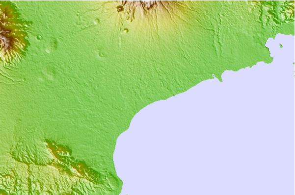
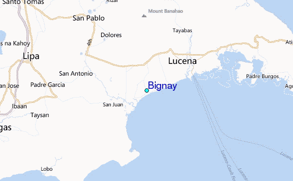
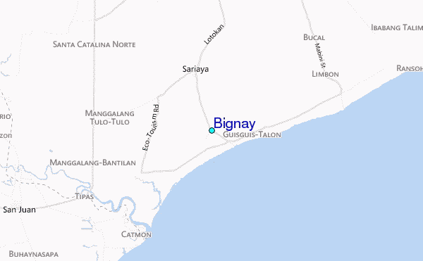
Use this relief map to navigate to tide stations, surf breaks and cities that are in the area of Bignay.
Other Nearby Locations' tide tables and tide charts to Bignay:
click location name for more details
 Surf breaks close to Bignay:
|
||
|---|---|---|
| Closest surf break | Bagasbas Beach | 102 mi |
| Second closest surf break | Cobra Reef - Cemento | 132 mi |
| Third closest surf break | Baler - Charlie's Point | 132 mi |
| Fourth closest surf break | Baler - Lindy's Point | 132 mi |
| Fifth closest surf break | Baler - Sabang | 132 mi |


 Nearest
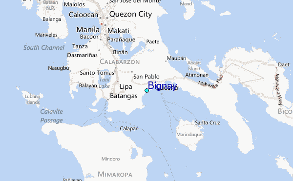