
| Distance / Altitude | Location | Report Date / Time | Live Weather | Wind | Gusts | Temp. | Visibility | Cloud |
|---|---|---|---|---|---|---|---|---|
| 471 km SSW / 215 m | Kwajalein/buchol Airport (Marshall Islands) | 2026-03-01 12:40 local (2026/03/01 00:40 GMT) | Clear | light winds from the ESE (19 km/h at 110) | 29°C | 16 | scattered scattered scattered | |
| 471 km SSW / 3 m | BUOY-KWJP8 (Marine) | 2026-03-01 12:48 local (2026/03/01 00:48 GMT) | - (- km/h at -) | — | - | |||
| 586 km SSE / 208 m | Majuro Atoll Airport (Marshall Islands) | 2026-03-01 11:50 local (2026/02/28 23:50 GMT) | Dry and partly cloudy | light winds from the E (9 km/h at 100) | — | 24 | few scattered broken | |
| 588 km SSE / 169 m | Majuro Wso Airport (Marshall Islands) | 2026-03-01 10:52 local (2026/02/28 22:52 GMT) | Dry and cloudy | moderate winds from the E (28 km/h at 100) | 28°C | 24 | scattered broken overcast | |
| 590 km SSE / 4 m | MajuroMarshallIs.Intnl. (Marshall Islands) | 2026-03-01 12:00 local (2026/03/01 00:00 GMT) | - | light winds from the E (9 km/h at 100) | 28°C | 44 km | scattered | |
| 863 km NW / 194 m | Wake Island Airfield Airport (Wake Island) | 2026-03-01 11:55 local (2026/02/28 23:55 GMT) | - | fresh winds from the ENE (37 km/h at 70) | 28°C | 11 | few | |
| 865 km NW / 3 m | BUOY-WAKP8 (Marine) | 2026-03-01 12:48 local (2026/03/01 00:48 GMT) | moderate winds from the ENE (28 km/h at 70) | 25°C | - | |||
| 892 km W / 15 m | SHIP8182 (Marine) | 2026-03-01 12:00 local (2026/03/01 00:00 GMT) | - (- km/h at -) | — | - km | |||
| 892 km W / 3 m | SHIP4103 (Marine) | 2026-03-01 12:00 local (2026/03/01 00:00 GMT) | - (- km/h at -) | 29°C | - | |||
| 922 km SW / 0 m | lightning (Micronesia) | 2026-03-01 13:16 local (2026/03/01 01:16 GMT) | Thunderstorm | (- km/h at -) | — |
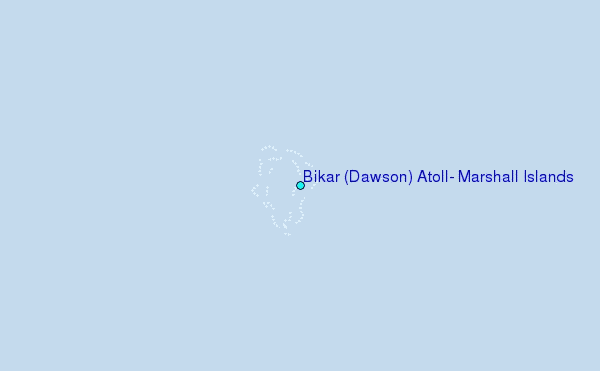
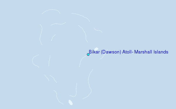
Choose Bikar (Dawson) Atoll, Marshall Islands Location Map Zoom:
| Contours: | Roads & Rivers: | Select a
tide station / surf break / city |
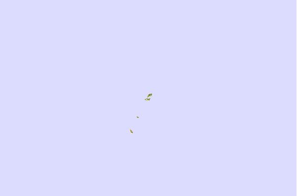
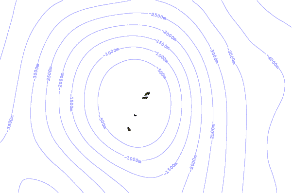
Use this relief map to navigate to tide stations, surf breaks and cities that are in the area of Bikar (Dawson) Atoll, Marshall Islands.
Other Nearby Locations' tide tables and tide charts to Bikar (Dawson) Atoll, Marshall Islands:
click location name for more details
 Surf breaks close to Bikar (Dawson) Atoll, Marshall Islands:
|
||
|---|---|---|
| Closest surf break | Sidedish | 686 mi |
| Second closest surf break | Walung | 687 mi |
| Third closest surf break | Naa | 759 mi |
| Fourth closest surf break | Simberi Island | 1614 mi |
| Fifth closest surf break | Rubio | 1642 mi |


 Nearest