
| Distance / Altitude | Location | Report Date / Time | Live Weather | Wind | Gusts | Temp. | Visibility | Cloud |
|---|---|---|---|---|---|---|---|---|
| 72 km S / 581 m | Cape Romanzof Airport (Alaska) | 2025-12-26 00:55 local (2025/12/26 09:55 GMT) | - | gales from the NE (70 km/h at 40) | -16°C | 0.0 | ||
| 89 km ESE / 103 m | Mountain Village Airport (Alaska) | 2025-12-26 00:56 local (2025/12/26 09:56 GMT) | Dry and partly cloudy | fresh winds from the N (33 km/h at 10) | -16°C | 16 | broken | |
| 90 km S / 23 m | Chevak Airport (Alaska) | 2025-12-26 00:56 local (2025/12/26 09:56 GMT) | Dry and partly cloudy | near gales from the NNE (54 km/h at 20) | -14°C | 16 | broken | |
| 99 km S / 400 m | Hooper Bay Airport (Alaska) | 2025-12-26 00:56 local (2025/12/26 09:56 GMT) | Dry and partly cloudy | strong winds from the NE (43 km/h at 40) | -14°C | 16 | broken | |
| 109 km ESE / 217 m | Saint Marys Airport (Alaska) | 2025-12-26 00:56 local (2025/12/26 09:56 GMT) | Dry and partly cloudy | light winds from the NE (17 km/h at 40) | -16°C | 16 | broken | |
| 179 km ESE / 31 m | Marshall (Alaska) | 2025-12-26 00:56 local (2025/12/26 09:56 GMT) | Dry and partly cloudy | strong winds from the E (41 km/h at 80) | -17°C | 16 | broken | |
| 201 km S / 18 m | Toksook Bay Airport (Alaska) | 2025-12-26 00:56 local (2025/12/26 09:56 GMT) | Dry and cloudy | gales from the N (72 km/h at 360) | -13°C | 13 | overcast | |
| 207 km NE / 28 m | Saint-Michael Airport (Alaska) (Alaska) | 2025-12-26 00:56 local (2025/12/26 09:56 GMT) | - | moderate winds from the NE (24 km/h at 40) | -18°C | 16 | few | |
| 218 km ESE / 16 m | Russian Mission Airport (Alaska) | 2025-12-26 00:56 local (2025/12/26 09:56 GMT) | Dry and partly cloudy | light winds from the ENE (11 km/h at 60) | -17°C | 16 | broken | |
| 225 km S / 215 m | Mekoryuk Airport (Alaska) | 2025-12-26 00:56 local (2025/12/26 09:56 GMT) | - | strong winds from the NNE (43 km/h at 20) | -12°C | 0.1 |
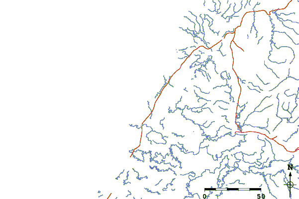
| Contours: | Roads & Rivers: | Select a
tide station / surf break / city |
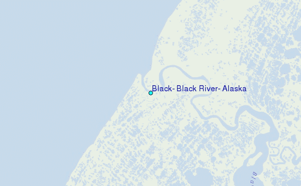
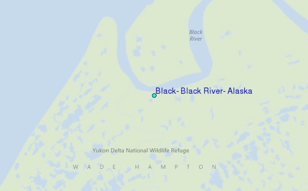
Use this relief map to navigate to tide stations, surf breaks and cities that are in the area of Black, Black River, Alaska.
Other Nearby Locations' tide tables and tide charts to Black, Black River, Alaska:
click location name for more details
 Surf breaks close to Black, Black River, Alaska:
|
||
|---|---|---|
| Closest surf break | Bird Point (Tidal Bore) | 472 mi |
| Second closest surf break | Termination Point | 541 mi |
| Third closest surf break | Monashka Bay | 541 mi |
| Fourth closest surf break | Mill Bay | 544 mi |
| Fifth closest surf break | Fossil Beach Kodiak | 562 mi |


 Nearest
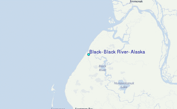