
| Distance / Altitude | Location | Report Date / Time | Live Weather | Wind | Gusts | Temp. | Visibility | Cloud |
|---|---|---|---|---|---|---|---|---|
| 40 km NW / 194 m | Togiak Airport (Alaska) | 2025-12-25 10:56 local (2025/12/25 19:56 GMT) | Dry and cloudy | light winds from the N (11 km/h at 360) | -10°C | 16 | overcast | |
| 40 km NW / 3 m | BUOY-TGXA2 (Marine) | 2025-12-25 12:32 local (2025/12/25 21:32 GMT) | light winds from the N (13 km/h at 10) | -8°C | - | |||
| 72 km ENE / 16 m | Manokotak Airport (Alaska) | 2025-12-25 10:56 local (2025/12/25 19:56 GMT) | Dry and partly cloudy | moderate winds from the NE (22 km/h at 50) | -12°C | 16 | broken | |
| 100 km W / 182 m | Platinum (AK) Airport (United States) | 2025-12-25 10:56 local (2025/12/25 19:56 GMT) | Dry and cloudy | fresh winds from the ENE (30 km/h at 60) | -8°C | 14 | overcast | |
| 104 km ENE / 213 m | Dillingham Airport (Alaska) | 2025-12-25 10:56 local (2025/12/25 19:56 GMT) | Clear | light winds from the NNE (19 km/h at 20) | -13°C | 16 | ||
| 109 km WSW / 646 m | Cape Newenham Airport (Alaska) | 2025-12-25 10:55 local (2025/12/25 19:55 GMT) | Dry and cloudy | wind obs. (54 kph from 30 degs) was rejected (- km/h at -) | -4°C | 16 | overcast | |
| 150 km WNW / 13 m | Quinhagak (AK) (Alaska) | 2025-12-25 10:56 local (2025/12/25 19:56 GMT) | Dry and cloudy | light winds from the N (13 km/h at 10) | -12°C | 16 | overcast | |
| 182 km ENE / 92 m | New Stuyahok Airport (Alaska) | 2025-12-25 10:56 local (2025/12/25 19:56 GMT) | Clear | moderate winds from the N (20 km/h at 360) | -16°C | 16 | ||
| 199 km SE / 18 m | Pilot Point (Alaska) | 2025-12-25 10:56 local (2025/12/25 19:56 GMT) | Dry and cloudy | light winds from the ENE (15 km/h at 70) | -11°C | 13 | overcast | |
| 202 km NE / 82 m | Koliganek Airport (Alaska) | 2025-12-25 10:56 local (2025/12/25 19:56 GMT) | Mist - | moderate winds from the N (20 km/h at 10) | -14°C | 10 |
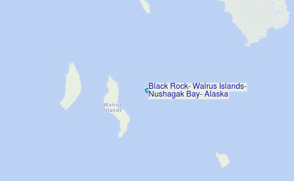
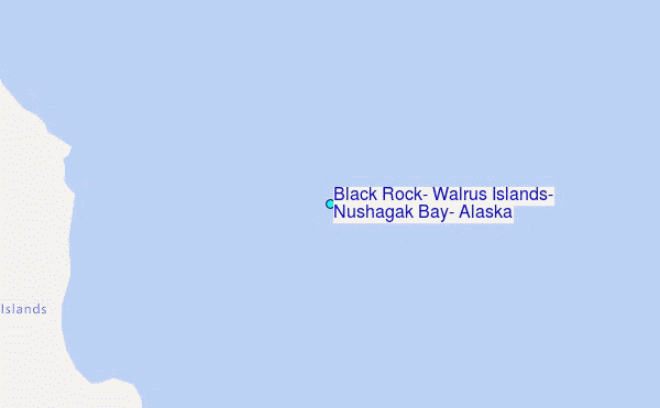
Choose Black Rock, Walrus Islands, Nushagak Bay, Alaska Location Map Zoom:
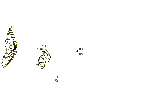
| Contours: | Roads & Rivers: | Select a
tide station / surf break / city |

Use this relief map to navigate to tide stations, surf breaks and cities that are in the area of Black Rock, Walrus Islands, Nushagak Bay, Alaska.
Other Nearby Locations' tide tables and tide charts to Black Rock, Walrus Islands, Nushagak Bay, Alaska:
click location name for more details
 Surf breaks close to Black Rock, Walrus Islands, Nushagak Bay, Alaska:
|
||
|---|---|---|
| Closest surf break | Monashka Bay | 288 mi |
| Second closest surf break | Termination Point | 289 mi |
| Third closest surf break | Mill Bay | 291 mi |
| Fourth closest surf break | Fossil Beach Kodiak | 300 mi |
| Fifth closest surf break | Bird Point (Tidal Bore) | 336 mi |


 Nearest
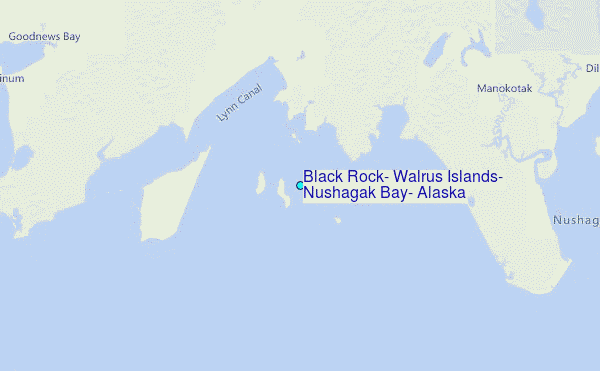