
| Distance / Altitude | Location | Report Date / Time | Live Weather | Wind | Gusts | Temp. | Visibility | Cloud |
|---|---|---|---|---|---|---|---|---|
| 7 km N / 3 m | Newbiggin Waverider (Marine) | 2026-04-05 02:31 local (2026/04/05 01:31 GMT) | - (- km/h at -) | — | - | |||
| 17 km SSW / 219 m | Newcastle Airport (United Kingdom) | 2026-04-05 02:20 local (2026/04/05 01:20 GMT) | Dry and partly cloudy | gales from the WSW (65 km/h at 250) | 6°C | 10.0 | scattered | |
| 34 km N / 23 m | Boulmer Airport (United Kingdom) | 2026-04-05 03:00 local (2026/04/05 02:00 GMT) | no report | wind obs. (13 kph from 100 degs) was rejected (- km/h at -) | 17°C | 30 | - - - | |
| 53 km ESE / 3 m | Tyne-Tees WaveNet Site (Marine) | 2026-04-05 03:00 local (2026/04/05 02:00 GMT) | - (- km/h at -) | — | - | |||
| 67 km S / 170 m | Tees-side Airport (United Kingdom) | 2026-04-05 02:20 local (2026/04/05 01:20 GMT) | - | near gales from the WSW (54 km/h at 250) | 6°C | 10.0 | ||
| 67 km WSW / 214 m | Spadeadam Airport (United Kingdom) | 2026-04-05 02:20 local (2026/04/05 01:20 GMT) | - | near gales from the W (61 km/h at 270) | 3°C | 10.0 | ||
| 81 km NW / 54 m | Berwick-upon-Tweed (United Kingdom) | 2026-04-05 03:34 local (2026/04/05 02:34 GMT) | - | gales from the WNW (63 km/h at 296) | 2°C | - | - - 0 | |
| 82 km SW / 75 m | Brampton wx (United Kingdom) | 2026-04-05 03:33 local (2026/04/05 02:33 GMT) | dry | strong winds from the WSW (47 km/h at 249) | 5°C | - | - - 0 | |
| 89 km SE / 3 m | Whitby Waverider (Marine) | 2026-04-05 02:31 local (2026/04/05 01:31 GMT) | - (- km/h at -) | — | - | |||
| 92 km S / 40 m | Leeming RAF Airport (United Kingdom) | 2026-04-05 03:00 local (2026/04/05 02:00 GMT) | - | wind obs. (6 kph from 140 degs) was rejected (- km/h at -) | — | 30 | - - - |
| Contours: | Roads & Rivers: | Select a
tide station / surf break / city |
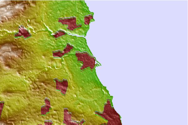
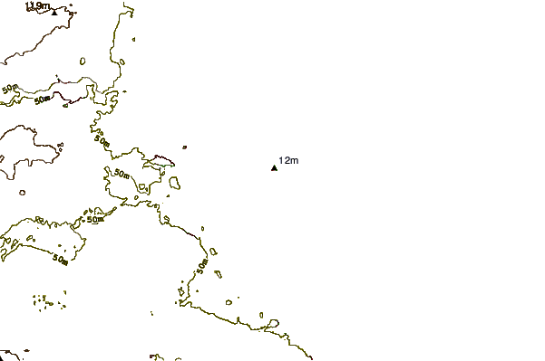
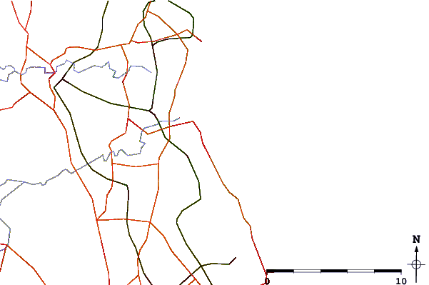
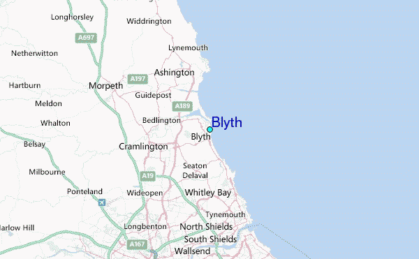
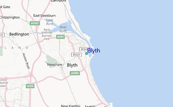
Use this relief map to navigate to tide stations, surf breaks and cities that are in the area of Blyth.
Other Nearby Locations' tide tables and tide charts to Blyth:
click location name for more details
 Surf breaks close to Blyth:
|
||
|---|---|---|
| Closest surf break | Blyth Beach | 1 mi |
| Second closest surf break | Wansbeck Estuary | 3 mi |
| Third closest surf break | Horse Head Reef | 4 mi |
| Fourth closest surf break | Seaton Sluice | 4 mi |
| Fifth closest surf break | Church Point-Newbiggin | 4 mi |


 Nearest
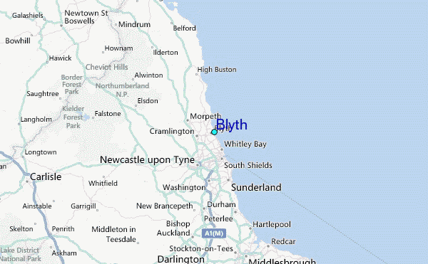