
| Distance / Altitude | Location | Report Date / Time | Live Weather | Wind | Gusts | Temp. | Visibility | Cloud |
|---|---|---|---|---|---|---|---|---|
| 4 km SSW / 214 m | San Juan Airport (Puerto Rico) | 2026-06-29 10:56 local (2026/06/29 14:56 GMT) | Dry and partly cloudy | light winds from the ENE (11 km/h at 70) | 31°C | 16 | few scattered scattered | |
| 11 km WSW / 3 m | Fern Luis Ribas Airport (Puerto rico) | 2026-06-29 10:45 local (2026/06/29 14:45 GMT) | Dry and partly cloudy | light winds from the ENE (13 km/h at 60) | 30°C | 16 | scattered broken | |
| 11 km WSW / 3 m | San Juan- PR (Marine) | 2026-06-29 12:00 local (2026/06/29 16:00 GMT) | light winds from the ENE (18 km/h at 60) | 29°C | - | |||
| 13 km SW / 15 m | SHIP2409 (Marine) | 2026-06-29 10:00 local (2026/06/29 14:00 GMT) | - (- km/h at -) | — | - km | |||
| 13 km WSW / 3 m | BUOY-SJNP4 (Marine) | 2026-06-29 12:00 local (2026/06/29 16:00 GMT) | light winds from the ENE (8 km/h at 60) | 31°C | - | |||
| 13 km SW / 15 m | SHIP4519 (Marine) | 2026-06-29 10:00 local (2026/06/29 14:00 GMT) | - (- km/h at -) | — | - km | |||
| 13 km SW / 3 m | SHIP2857 (Marine) | 2026-06-29 10:00 local (2026/06/29 14:00 GMT) | - (- km/h at -) | 30°C | - | |||
| 13 km WSW / 3 m | BUOY-SJNP4 (Marine) | 2026-06-29 12:00 local (2026/06/29 16:00 GMT) | light winds from the ENE (8 km/h at 60) | 31°C | - | |||
| 13 km SW / 15 m | SHIP2287 (Marine) | 2026-06-29 10:00 local (2026/06/29 14:00 GMT) | - (- km/h at -) | — | - km | |||
| 13 km SW / 15 m | SHIP4569 (Marine) | 2026-06-29 10:00 local (2026/06/29 14:00 GMT) | - (- km/h at -) | — | - km |
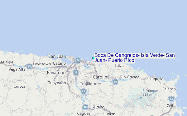
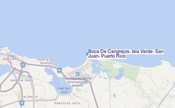
Choose Boca De Cangrejos, Isla Verde, San Juan, Puerto Rico Location Map Zoom:
| Contours: | Roads & Rivers: | Select a
tide station / surf break / city |
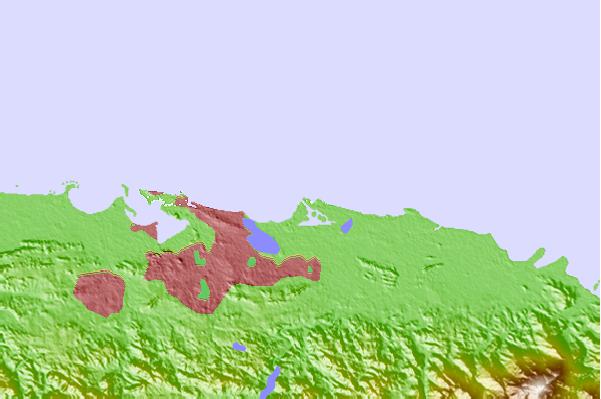
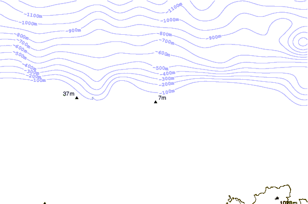
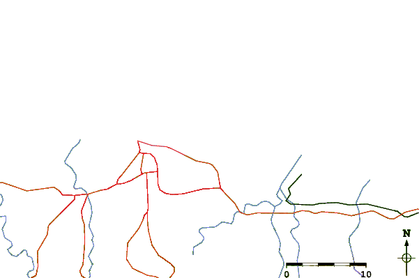
Use this relief map to navigate to tide stations, surf breaks and cities that are in the area of Boca De Cangrejos, Isla Verde, San Juan, Puerto Rico.
Other Nearby Locations' tide tables and tide charts to Boca De Cangrejos, Isla Verde, San Juan, Puerto Rico:
click location name for more details
 Surf breaks close to Boca De Cangrejos, Isla Verde, San Juan, Puerto Rico:
|
||
|---|---|---|
| Closest surf break | Caballos | 1 mi |
| Second closest surf break | Chatarras | 2 mi |
| Third closest surf break | Islitas | 2 mi |
| Fourth closest surf break | Pine Grove | 2 mi |
| Fifth closest surf break | Aviones | 2 mi |


 Nearest
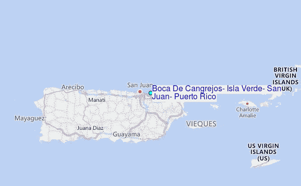