
| Distance / Altitude | Location | Report Date / Time | Live Weather | Wind | Gusts | Temp. | Visibility | Cloud |
|---|---|---|---|---|---|---|---|---|
| 2 km N / 4 m | thunderstorm affecting Boca Raton (United States) | 2026-07-26 15:19 local (2026/07/26 19:19 GMT) | Thunderstorm | (- km/h at -) | — | |||
| 3 km WSW / 4 m | thunderstorm affecting Deerfield Beach (United States) | 2026-07-26 14:45 local (2026/07/26 18:45 GMT) | Thunderstorm | (- km/h at -) | — | |||
| 4 km ESE / 0 m | lightning 5km NNE of Hillsboro Beach (United States) | 2026-07-26 15:18 local (2026/07/26 19:18 GMT) | Thunderstorm | (- km/h at -) | — | |||
| 4 km N / 4 m | Boca Raton (Florida) | 2026-07-26 16:33 local (2026/07/26 20:33 GMT) | dry | calm (2 km/h at 185) | 29°C | - | - - 0 | |
| 5 km NW / 405 m | Boca Raton Airport (Florida) | 2026-07-26 14:53 local (2026/07/26 18:53 GMT) | Thunderstorm - in the vicinity | moderate winds from the S (22 km/h at 170) | 31°C | 16 | broken broken | |
| 8 km S / 4 m | Lighthouse Point wx (United States) | 2026-07-26 16:38 local (2026/07/26 20:38 GMT) | dry | calm (2 km/h at 280) | 27°C | - | - - 0 | |
| 8 km NNE / 0 m | thunderstorm affecting Highland Beach (United States) | 2026-07-26 15:48 local (2026/07/26 19:48 GMT) | Thunderstorm | (- km/h at -) | — | |||
| 10 km NNE / 0 m | lightning 4km SE of Delray Beach (United States) | 2026-07-26 15:30 local (2026/07/26 19:30 GMT) | Thunderstorm | (- km/h at -) | — | |||
| 11 km S / 218 m | Pompano Beach Airport (Florida) | 2026-07-26 14:53 local (2026/07/26 18:53 GMT) | Thunderstorm - | fresh winds from the S (35 km/h at 180) | 32°C | 16 | broken broken overcast | |
| 12 km SW / 4 m | thunderstorm affecting Boca Pointe (United States) | 2026-07-26 15:01 local (2026/07/26 19:01 GMT) | Thunderstorm | (- km/h at -) | — |
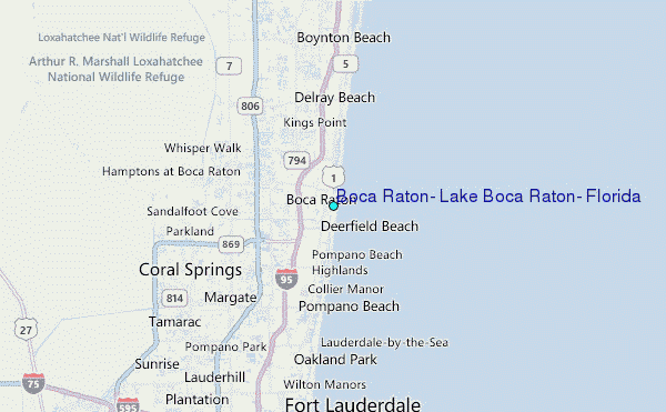
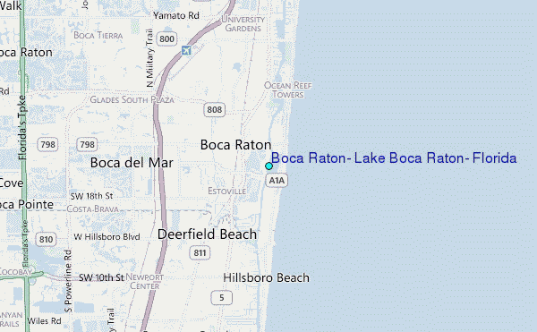
Choose Boca Raton, Lake Boca Raton, Florida Location Map Zoom:
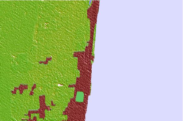
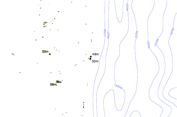
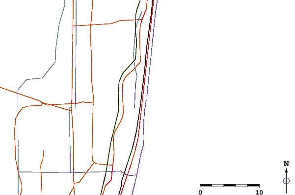
| Contours: | Roads & Rivers: | Select a
tide station / surf break / city |
Use this relief map to navigate to tide stations, surf breaks and cities that are in the area of Boca Raton, Lake Boca Raton, Florida.
Other Nearby Locations' tide tables and tide charts to Boca Raton, Lake Boca Raton, Florida:
click location name for more details
 Surf breaks close to Boca Raton, Lake Boca Raton, Florida:
|
||
|---|---|---|
| Closest surf break | Boca Inlet | 1 mi |
| Second closest surf break | Boca Raton Inlet | 1 mi |
| Third closest surf break | Deerfield Beach Pier | 2 mi |
| Fourth closest surf break | South Beach Pavilion | 2 mi |
| Fifth closest surf break | Deerfield Park Pier | 3 mi |


 Nearest
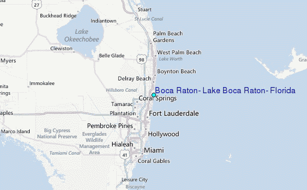