
| Distance / Altitude | Location | Report Date / Time | Live Weather | Wind | Gusts | Temp. | Visibility | Cloud |
|---|---|---|---|---|---|---|---|---|
| 10 km S / 218 m | Jacksonville Airport (Florida) | 2025-12-25 22:56 local (2025/12/26 03:56 GMT) | Clear | light winds from the W (7 km/h at 270) | 14°C | 16 | ||
| 12 km E / 9 m | Fernandina Beach (Florida) | 2025-12-26 00:29 local (2025/12/26 05:29 GMT) | dry | calm (0 km/h at 84) | 12°C | - | - - 0 | |
| 13 km SE / 10 m | Dunn Creek wx (United States) | 2025-12-26 00:19 local (2025/12/26 05:19 GMT) | dry | calm (0 km/h at 234) | 14°C | - | - - 0 | |
| 21 km ENE / 3 m | BUOY-FRDF1 (Marine) | 2025-12-26 00:00 local (2025/12/26 05:00 GMT) | - (0 km/h at -) | 19°C | - | |||
| 21 km S / 3 m | BUOY-NFDF1 (Marine) | 2025-12-26 00:00 local (2025/12/26 05:00 GMT) | calm (2 km/h at 230) | 17°C | - | |||
| 22 km S / 4 m | Lake Forest Manor wx (United States) | 2025-12-26 00:34 local (2025/12/26 05:34 GMT) | dry | calm (0 km/h at ) | 16°C | - | - - 0 | |
| 24 km ENE / 5 m | Fernandina Beach wx (United States) | 2025-12-25 23:25 local (2025/12/26 04:25 GMT) | dry | calm (0 km/h at 240) | 16°C | - | - - 0 | |
| 24 km SSE / 10 m | Jacksonville (Florida) | 2025-12-26 00:27 local (2025/12/26 05:27 GMT) | dry | calm (0 km/h at 99) | 16°C | - | - - 0 | |
| 24 km SSE / 3 m | BUOY-DMSF1 (Marine) | 2025-12-26 00:00 local (2025/12/26 05:00 GMT) | - (- km/h at -) | — | - | |||
| 26 km SSE / 3 m | BUOY-BLIF1 (Marine) | 2025-12-26 00:00 local (2025/12/26 05:00 GMT) | calm (4 km/h at 220) | 17°C | 10.9 |
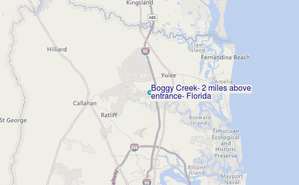
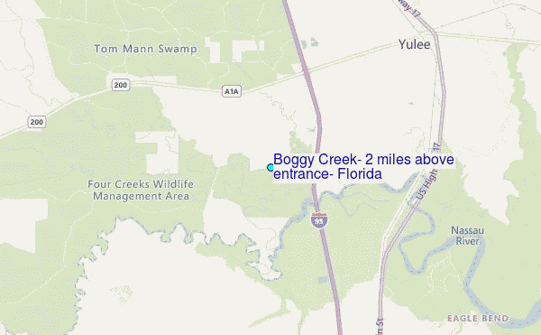
Choose Boggy Creek, 2 miles above entrance, Florida Location Map Zoom:
| Contours: | Roads & Rivers: | Select a
tide station / surf break / city |
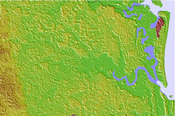

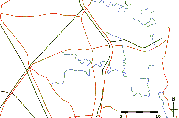
Use this relief map to navigate to tide stations, surf breaks and cities that are in the area of Boggy Creek, 2 miles above entrance, Florida.
Other Nearby Locations' tide tables and tide charts to Boggy Creek, 2 miles above entrance, Florida:
click location name for more details
 Surf breaks close to Boggy Creek, 2 miles above entrance, Florida:
|
||
|---|---|---|
| Closest surf break | Fernandina Beach Pier | 14 mi |
| Second closest surf break | Fernandina Pier | 15 mi |
| Third closest surf break | Main Beach | 15 mi |
| Fourth closest surf break | Hooks | 16 mi |
| Fifth closest surf break | St Marys Rivermouth | 16 mi |


 Nearest
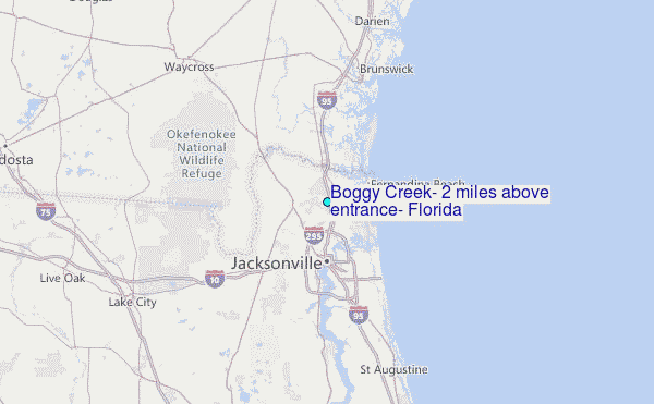