
| Distance / Altitude | Location | Report Date / Time | Live Weather | Wind | Gusts | Temp. | Visibility | Cloud |
|---|---|---|---|---|---|---|---|---|
| 152 km NW / 210 m | Macatan Airport (Philippines) | 2026-04-13 19:00 local (2026/04/13 11:00 GMT) | - | wind obs. (17 kph from 10 degs) was rejected (- km/h at -) | — | 0.0 | ||
| 180 km W / 80 m | Dalipdip wx (Philippines) | 2026-04-13 19:09 local (2026/04/13 11:09 GMT) | dry | calm (2 km/h at 240) | 27°C | - | - - 0 | |
| 191 km W / 6 m | Kalibo/panay Isl (Philippines) | 2026-04-13 18:00 local (2026/04/13 10:00 GMT) | Dry and partly cloudy | light winds from the N.(Wind varies from 310 to 020 degs) (6 km/h at 350) | 29°C | 10.0 | few broken | |
| 271 km SE / 36 m | Del Pilar wx (Philippines) | 2026-04-13 20:20 local (2026/04/13 12:20 GMT) | dry | calm (2 km/h at 10) | 24°C | - | - - 0 | |
| 274 km ESE / 20 m | BRAVO SIARGAO (Philippines) | 2026-04-13 20:00 local (2026/04/13 12:00 GMT) | - | light winds from the NE (19 km/h at 49) | 28°C | - | - - 0 | |
| 288 km SSE / 10 m | Opol (PI) | 2026-04-13 19:36 local (2026/04/13 11:36 GMT) | dry | calm (0 km/h at 34) | 27°C | - | - - 0 | |
| 405 km WNW / 6 m | Laiya (Philippines) | 2026-04-13 19:55 local (2026/04/13 11:55 GMT) | dry | - (- km/h at ) | — | - | - - 0 | |
| 471 km SSE / 293 m | Davao/Francisco Bangoy International Airport (Philippines) | 2026-04-13 19:00 local (2026/04/13 11:00 GMT) | Dry and partly cloudy | light winds from the S (15 km/h at 180) | 29°C | 10.0 | few broken | |
| 471 km SSE / 293 m | Davao/Francisco Bangoy International Airport (Philippines) | 2026-04-13 18:00 local (2026/04/13 10:00 GMT) | Dry and partly cloudy | light winds from the S (15 km/h at 180) | 29°C | 10.0 | few broken | |
| 494 km WNW / 22 m | Sucat (Philippines) | 2026-04-13 20:10 local (2026/04/13 12:10 GMT) | dry | light winds from the ESE (8 km/h at 120) | 29°C | - | - - 0 |
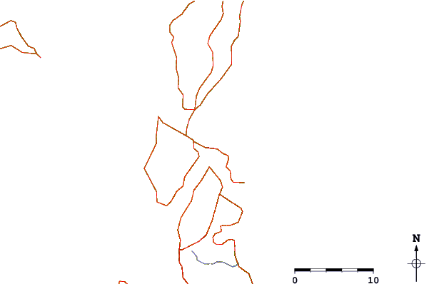
| Contours: | Roads & Rivers: | Select a
tide station / surf break / city |
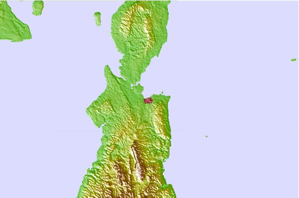
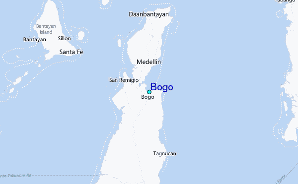
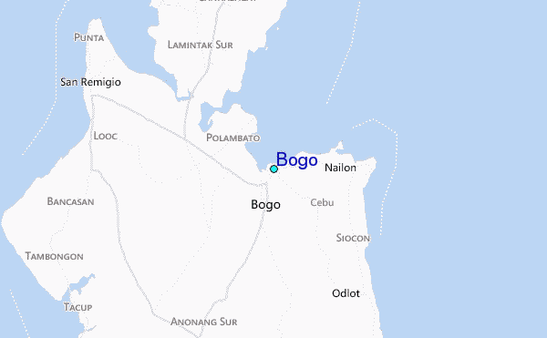
Use this relief map to navigate to tide stations, surf breaks and cities that are in the area of Bogo.
Other Nearby Locations' tide tables and tide charts to Bogo:
click location name for more details
 Surf breaks close to Bogo:
|
||
|---|---|---|
| Closest surf break | Boulevard | 104 mi |
| Second closest surf break | Guitagican Beach | 105 mi |
| Third closest surf break | Pirates Cove | 105 mi |
| Fourth closest surf break | Llorente | 108 mi |
| Fifth closest surf break | Santa Monica | 108 mi |


 Nearest
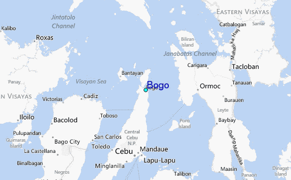