
| Distance / Altitude | Location | Report Date / Time | Live Weather | Wind | Gusts | Temp. | Visibility | Cloud |
|---|---|---|---|---|---|---|---|---|
| 212 km W / 215 m | Sandakan Airport (Malaysia) | 2026-01-12 14:00 local (2026/01/12 06:00 GMT) | Clouds developing | light winds from the NNE (15 km/h at 30) | 30°C | 34 km | scattered mostly cloudy - | |
| 213 km W / 129 m | Sandakan (Malaysia) | 2026-01-12 14:00 local (2026/01/12 06:00 GMT) | Clouds developing | light winds from the NNE (15 km/h at 30) | 30°C | 34 km | mostly cloudy | |
| 227 km SW / 130 m | Tawau (Malaysia) | 2026-01-12 14:00 local (2026/01/12 06:00 GMT) | Distant precipitation but not falling at station | wind obs. (13 kph from 190 degs) was rejected (- km/h at -) | 32°C | 31 km | mostly cloudy | |
| 228 km SW / 215 m | Tawau/Kalimantan Airport (Malaysia) | 2026-01-12 14:00 local (2026/01/12 06:00 GMT) | - | wind obs. (13 kph from 190 degs) was rejected (- km/h at -) | 32°C | 10.0 | few | |
| 308 km SSW / 50 m | Juwata Airport (Indonesia) | 2026-01-12 14:30 local (2026/01/12 06:30 GMT) | Dry and partly cloudy | wind obs. (7 kph from 90 degs) was rejected (- km/h at -) | 32°C | 30 km | scattered mostly cloudy - | |
| 328 km NE / 417 m | Zamboanga Airport (Philippines) | 2026-01-12 14:00 local (2026/01/12 06:00 GMT) | haze | wind obs. (11 kph from 270 degs) was rejected (- km/h at -) | 28°C | 10 | few broken - | |
| 387 km W / 5 m | Kudat (Malaysia) | 2026-01-12 14:00 local (2026/01/12 06:00 GMT) | - | light winds from the NNE (9 km/h at 30) | 30°C | 40 km | mostly cloudy | |
| 388 km W / 213 m | Kudat Airport (Malaysia) | 2026-01-12 14:00 local (2026/01/12 06:00 GMT) | Dry and partly cloudy | light winds from the NNE.(Wind varies from 340 to 110 degs) (9 km/h at 30) | 30°C | 10.0 | scattered | |
| 425 km W / 3 m | Kota Kinabalu International Airport (Malaysia) | 2026-01-12 14:00 local (2026/01/12 06:00 GMT) | Haze | light winds from the NW (13 km/h at 320) | 30°C | 40 km | mostly cloudy | |
| 425 km W / 3 m | Kota Kinabalu International Airport (Malaysia) | 2026-01-12 14:30 local (2026/01/12 06:30 GMT) | - | light winds from the NW.(Wind varies from 270 to 360 degs) (15 km/h at 320) | 30°C | 10.0 | few few - |
| Contours: | Roads & Rivers: | Select a
tide station / surf break / city |
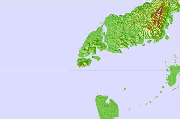
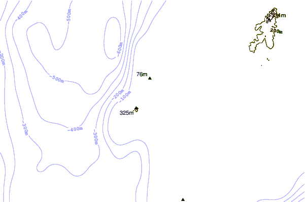
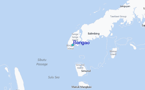
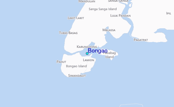
Use this relief map to navigate to tide stations, surf breaks and cities that are in the area of Bongao.
Other Nearby Locations' tide tables and tide charts to Bongao:
click location name for more details
 Surf breaks close to Bongao:
|
||
|---|---|---|
| Closest surf break | Kota Belud | 250 mi |
| Second closest surf break | Kudat (Pantai Kosuhui) | 250 mi |
| Third closest surf break | Shabandar | 260 mi |
| Fourth closest surf break | Nexus | 263 mi |
| Fifth closest surf break | Nexus West End | 264 mi |


 Nearest
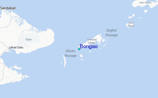