
| Distance / Altitude | Location | Report Date / Time | Live Weather | Wind | Gusts | Temp. | Visibility | Cloud |
|---|---|---|---|---|---|---|---|---|
| 227 km NE / 457 m | lightning 22km ENE of Peyima (Sierra Leone) | 2026-06-30 22:45 local (2026/06/30 22:45 GMT) | Thunderstorm | (- km/h at -) | — | |||
| 257 km NW / 337 m | Conakry/Gbessia-Internationa Airport (Guinea-bissau) | 2026-07-01 00:00 local (2026/07/01 00:00 GMT) | Thunderstorm light rain thunderstorm | light winds from the NW (7 km/h at 320) | 26°C | 8.0 | broken few broken | |
| 278 km ESE / 414 m | Roberts International Airport/Monrovia (Liberia) | 2026-07-01 00:30 local (2026/07/01 00:30 GMT) | Drizzle | light winds from the NE (7 km/h at 50) | 23°C | 7.0 | few broken few | |
| 307 km NW / 72 m | Kénendé wx (Guinea) | 2026-07-01 01:00 local (2026/07/01 01:00 GMT) | dry | - (- km/h at ) | — | - | - - 0 | |
| 312 km N / 234 m | lightning 33km N of Kindia (Guinea) | 2026-07-01 01:19 local (2026/07/01 01:19 GMT) | Thunderstorm | (- km/h at -) | — | |||
| 385 km NW / 452 m | lightning 43km N of Fria (Guinea) | 2026-07-01 01:15 local (2026/07/01 01:15 GMT) | Thunderstorm | (- km/h at -) | — | |||
| 402 km N / 478 m | lightning 24km WSW of Lelouma (Guinea) | 2026-07-01 00:02 local (2026/07/01 00:02 GMT) | Thunderstorm | (- km/h at -) | — | |||
| 535 km NW / 59 m | lightning 28km S of Gabu (Guinea-Bissau) | 2026-06-30 23:31 local (2026/06/30 23:31 GMT) | Thunderstorm | (- km/h at -) | — | |||
| 554 km NW / 4 m | lightning 34km N of Buba (Guinea-bissau) | 2026-06-30 23:02 local (2026/06/30 23:02 GMT) | Thunderstorm | (- km/h at -) | — | |||
| 558 km N / 167 m | Kedougou Airport (Senegal) | 2026-07-01 00:00 local (2026/07/01 00:00 GMT) | Light rain | wind obs. (9 kph from 160 degs) was rejected (- km/h at -) | 23°C | 10.0 | no significant cloud |
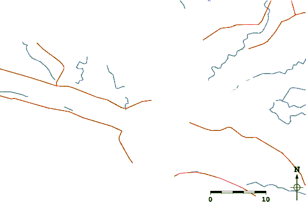
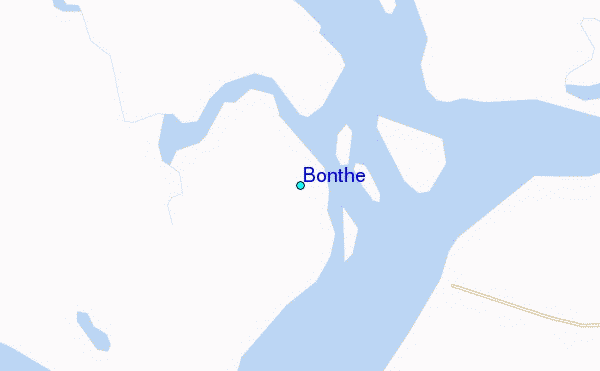
| Contours: | Roads & Rivers: | Select a
tide station / surf break / city |
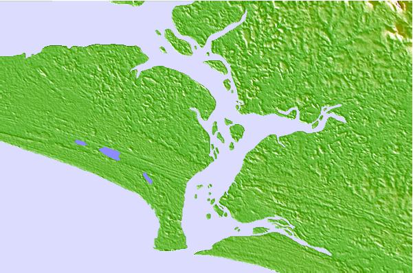
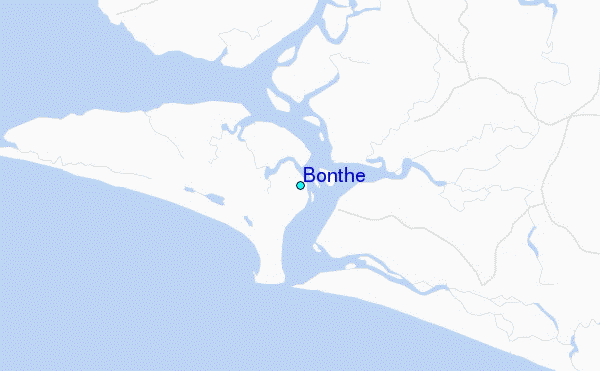
Use this relief map to navigate to tide stations, surf breaks and cities that are in the area of Bonthe.
Other Nearby Locations' tide tables and tide charts to Bonthe:
click location name for more details
 Surf breaks close to Bonthe:
|
||
|---|---|---|
| Closest surf break | Baki (Turtle Islands) | 36 mi |
| Second closest surf break | Baki (Turtle Islands) | 37 mi |
| Third closest surf break | Burreh Beach | 65 mi |
| Fourth closest surf break | River No. 2 | 74 mi |
| Fifth closest surf break | Sulima | 75 mi |


 Nearest
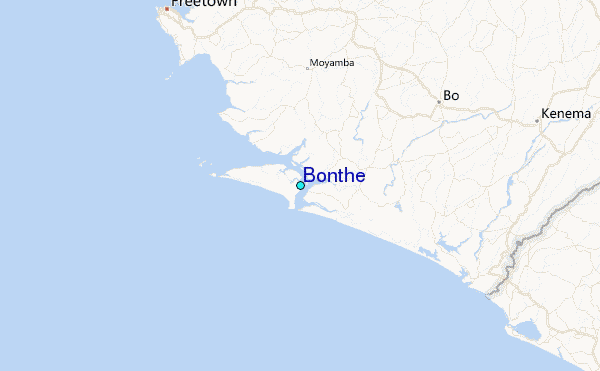