
| Distance / Altitude | Location | Report Date / Time | Live Weather | Wind | Gusts | Temp. | Visibility | Cloud |
|---|---|---|---|---|---|---|---|---|
| 17 km S / 7 m | West Palm Beach (FL) (Florida) | 2026-04-15 20:35 local (2026/04/16 00:35 GMT) | Dry and cloudy | light winds from the E (9 km/h at 80) | 22°C | 16 | overcast | |
| 23 km NW / 240 m | Stuart/Witham Field Airport (Florida) | 2026-04-15 20:48 local (2026/04/16 00:48 GMT) | Dry and partly cloudy | light winds from the E (15 km/h at 80) | 23°C | 16 | broken | |
| 34 km S / 218 m | West Palm Beach Airport (Florida) | 2026-04-15 19:53 local (2026/04/15 23:53 GMT) | Dry and partly cloudy | light winds from the E (13 km/h at 80) | 24°C | 16 | broken broken | |
| 43 km SSE / 3 m | BUOY-LKWF1 (Marine) | 2026-04-15 20:48 local (2026/04/16 00:48 GMT) | light winds from the E (18 km/h at 100) | — | - | |||
| 43 km S / 5 m | West Palm Beach (FL) (Florida) | 2026-04-15 20:35 local (2026/04/16 00:35 GMT) | Dry and cloudy | light winds from the E (15 km/h at 80) | — | 16 | overcast | |
| 62 km NW / 218 m | Fort Pierce Airport (Florida) | 2026-04-15 19:53 local (2026/04/15 23:53 GMT) | Dry and partly cloudy | light winds from the ESE (17 km/h at 110) | 22°C | 16 | broken | |
| 63 km N / 3 m | Fort Pierce- FL (Marine) | 2026-04-15 20:56 local (2026/04/16 00:56 GMT) | - (- km/h at -) | — | - | |||
| 67 km N / 3 m | BUOY-41068 (Marine) | 2026-04-15 20:08 local (2026/04/16 00:08 GMT) | moderate winds from the E (22 km/h at 100) | 23°C | - | |||
| 67 km S / 405 m | Boca Raton Airport (Florida) | 2026-04-15 19:52 local (2026/04/15 23:52 GMT) | Dry and partly cloudy | light winds from the ENE (9 km/h at 70) | 24°C | 16 | broken | |
| 68 km S / 4 m | Boca Raton (Florida) | 2026-04-15 20:38 local (2026/04/16 00:38 GMT) | dry | calm (0 km/h at 360) | 23°C | - | - - 0 |
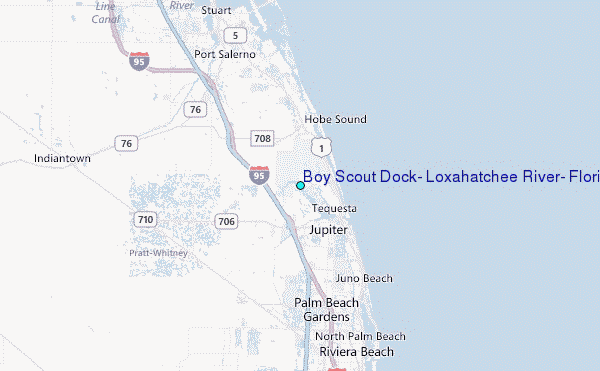
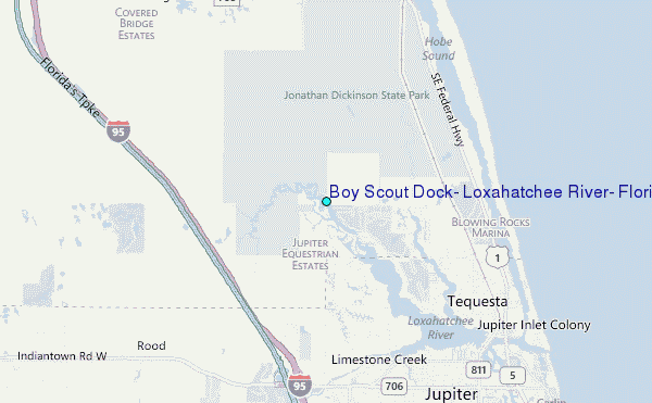
Choose Boy Scout Dock, Loxahatchee River, Florida Location Map Zoom:
| Contours: | Roads & Rivers: | Select a
tide station / surf break / city |
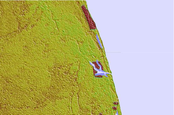

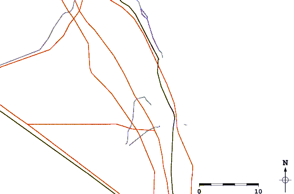
Use this relief map to navigate to tide stations, surf breaks and cities that are in the area of Boy Scout Dock, Loxahatchee River, Florida.
Other Nearby Locations' tide tables and tide charts to Boy Scout Dock, Loxahatchee River, Florida:
click location name for more details
 Surf breaks close to Boy Scout Dock, Loxahatchee River, Florida:
|
||
|---|---|---|
| Closest surf break | Coral Cove | 4 mi |
| Second closest surf break | Jupiter Inlet North Jetty | 5 mi |
| Third closest surf break | Jupiter Inlet North South Side | 6 mi |
| Fourth closest surf break | Jupiter Inlet South Jetty | 6 mi |
| Fifth closest surf break | Hobe Sound/The Refuge | 8 mi |


 Nearest
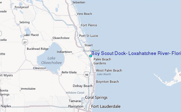