
| Distance / Altitude | Location | Report Date / Time | Live Weather | Wind | Gusts | Temp. | Visibility | Cloud |
|---|---|---|---|---|---|---|---|---|
| 1 km SSW / 3 m | BUOY-BDSP1 (Marine) | 2025-12-26 04:00 local (2025/12/26 09:00 GMT) | - (- km/h at -) | -2°C | - | |||
| 6 km E / 27 m | Parry wx (United States) | 2025-12-26 04:11 local (2025/12/26 09:11 GMT) | - | calm (5 km/h at 329) | -3°C | - | - - 0 | |
| 7 km SSW / 5 m | Philadelphia (Pennsylvania) | 2025-12-26 04:39 local (2025/12/26 09:39 GMT) | - | calm (3 km/h at 0) | -2°C | - | - - 0 | |
| 7 km E / 20 m | Cinnaminson (New Jersey) | 2025-12-26 04:22 local (2025/12/26 09:22 GMT) | - | calm (0 km/h at 297) | -3°C | - | - - 0 | |
| 8 km SSW / 3 m | BUOY-PHBP1 (Marine) | 2025-12-26 04:00 local (2025/12/26 09:00 GMT) | - (- km/h at -) | -2°C | - | |||
| 8 km SSE / 12 m | Haddon Township (New Jersey) | 2025-12-26 04:31 local (2025/12/26 09:31 GMT) | - | calm (3 km/h at 126) | -2°C | - | - - 0 | |
| 8 km NE / 19 m | Philadelphia (Pennsylvania) | 2025-12-26 03:17 local (2025/12/26 08:17 GMT) | - | light winds from the ENE (8 km/h at 58) | -3°C | - | - - 0 | |
| 12 km NNE / 217 m | Philadelphia/ne Airport (Pennsylvania) | 2025-12-26 02:54 local (2025/12/26 07:54 GMT) | Clear | light winds from the NNW (15 km/h at 340) | -3°C | 16 | ||
| 14 km W / 75 m | Bala Cynwyd (Pennsylvania) | 2025-12-26 04:14 local (2025/12/26 09:14 GMT) | - | calm (2 km/h at 11) | -3°C | - | - - 0 | |
| 16 km W / 108 m | Upper Roxborough wx (United States) | 2025-12-26 04:02 local (2025/12/26 09:02 GMT) | - | light winds from the N (13 km/h at 357) | -4°C | - | - - 0 |
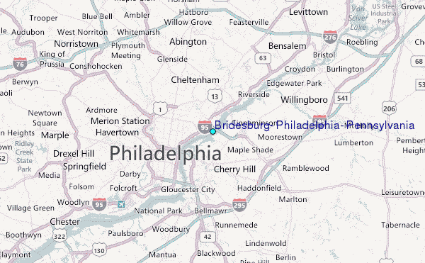
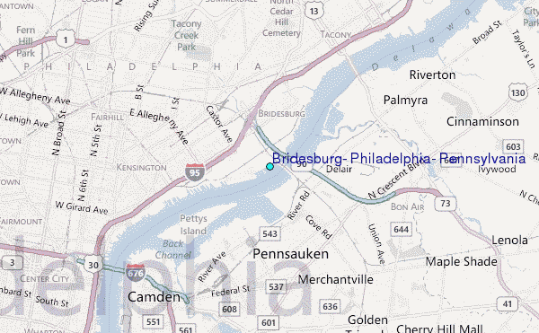
Choose Bridesburg, Philadelphia, Pennsylvania Location Map Zoom:
| Contours: | Roads & Rivers: | Select a
tide station / surf break / city |

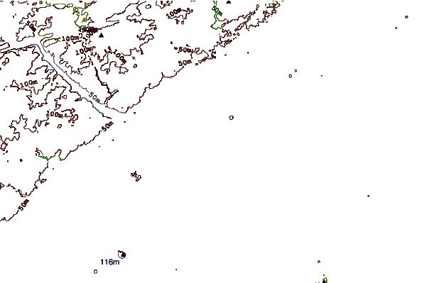
Use this relief map to navigate to tide stations, surf breaks and cities that are in the area of Bridesburg, Philadelphia, Pennsylvania.
Other Nearby Locations' tide tables and tide charts to Bridesburg, Philadelphia, Pennsylvania:
click location name for more details
 Surf breaks close to Bridesburg, Philadelphia, Pennsylvania:
|
||
|---|---|---|
| Closest surf break | Lbi 82st | 53 mi |
| Second closest surf break | 30th Street/Ship Bottom | 53 mi |
| Third closest surf break | Cape May Avenue | 53 mi |
| Fourth closest surf break | Harvey Cedars | 53 mi |
| Fifth closest surf break | Hollyoake | 53 mi |


 Nearest
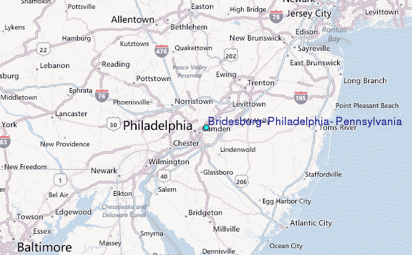