
| Distance / Altitude | Location | Report Date / Time | Live Weather | Wind | Gusts | Temp. | Visibility | Cloud |
|---|---|---|---|---|---|---|---|---|
| 32 km NNE / 215 m | Yeovilton (Navy) Airport (United Kingdom) | 2026-06-27 00:20 local (2026/06/26 23:20 GMT) | Dry and partly cloudy | calm (2 km/h at 150) | 17°C | 10.0 | no cloud | |
| 37 km ENE / 243 m | Bell Hill (United Kingdom) | 2026-06-27 01:00 local (2026/06/27 00:00 GMT) | - | light winds from the W (17 km/h at 263) | 17°C | - | - - 0 | |
| 44 km NE / 66 m | Sturminster Newton (United Kingdom) | 2026-06-27 00:32 local (2026/06/26 23:32 GMT) | dry | calm (2 km/h at 1) | 16°C | - | - - 0 | |
| 44 km WSW / 43 m | 885 (United Kingdom) | 2026-06-27 01:00 local (2026/06/27 00:00 GMT) | - | calm (2 km/h at 206) | 16°C | - | - - 0 | |
| 45 km WSW / 27 m | Exeter Airport NO 2 (United Kingdom) | 2026-06-27 01:00 local (2026/06/27 00:00 GMT) | no report | wind obs. (7 kph from 30 degs) was rejected (- km/h at -) | 20°C | 40 | - | |
| 46 km WSW / 174 m | Exeter Airport (United Kingdom) | 2026-06-27 00:20 local (2026/06/26 23:20 GMT) | - | light winds from the S (9 km/h at 180) | — | 0.0 | ||
| 57 km NE / 230 m | Whitesheet (United Kingdom) | 2026-06-27 01:00 local (2026/06/27 00:00 GMT) | - | calm (4 km/h at 256) | 16°C | - | - - 0 | |
| 67 km E / 178 m | Bournemouth Airport (United Kingdom) | 2026-06-27 00:20 local (2026/06/26 23:20 GMT) | - | light winds from the WNW (7 km/h at 290) | — | 0.0 | ||
| 70 km S / 15 m | SHIP3767 (Marine) | 2026-06-27 01:00 local (2026/06/27 00:00 GMT) | - (- km/h at -) | — | - km | |||
| 70 km S / 3 m | SHIP2669 (Marine) | 2026-06-27 01:00 local (2026/06/27 00:00 GMT) | - (- km/h at -) | 17°C | - |
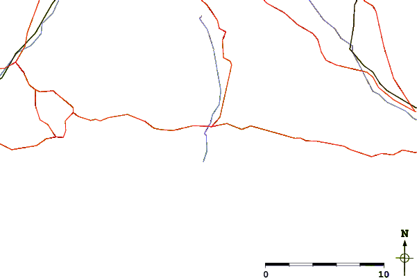
| Contours: | Roads & Rivers: | Select a
tide station / surf break / city |
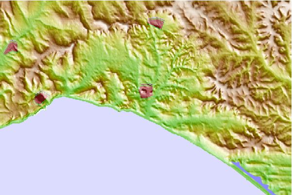
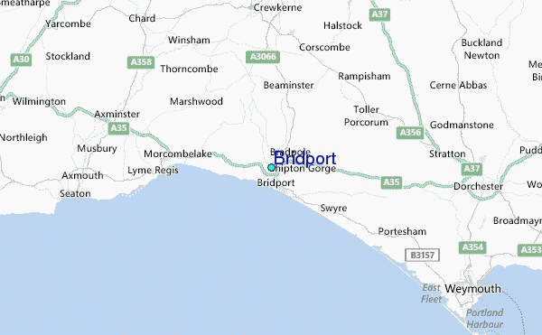
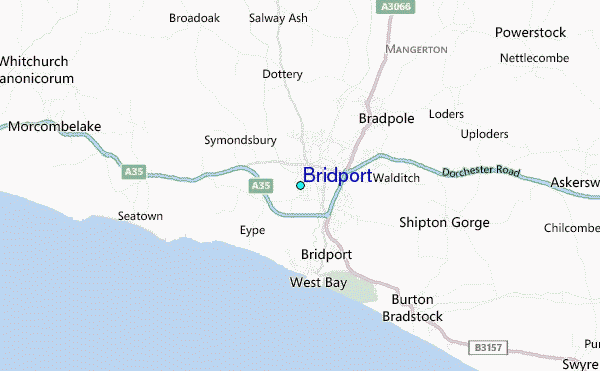
Use this relief map to navigate to tide stations, surf breaks and cities that are in the area of Bridport.
Other Nearby Locations' tide tables and tide charts to Bridport:
click location name for more details
 Surf breaks close to Bridport:
|
||
|---|---|---|
| Closest surf break | Lyme Regis Habour Wall | 6 mi |
| Second closest surf break | Beer Point | 14 mi |
| Third closest surf break | Fortuneswell/West Bay | 18 mi |
| Fourth closest surf break | Ringstead Bay | 20 mi |
| Fifth closest surf break | Sidmouth | 21 mi |


 Nearest
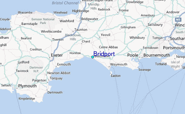