
| Distance / Altitude | Location | Report Date / Time | Live Weather | Wind | Gusts | Temp. | Visibility | Cloud |
|---|---|---|---|---|---|---|---|---|
| 19 km SW / 1 m | Shoal Bay wx (Australia) | 2026-07-21 21:30 local (2026/07/21 11:30 GMT) | dry | light winds from the NNE (8 km/h at 18) | 15°C | - | - - 0 | |
| 26 km SSW / 1 m | Corlette wx (Australia) | 2026-07-21 22:00 local (2026/07/21 12:00 GMT) | dry | calm (0 km/h at 0) | 12°C | - | - - 0 | |
| 34 km SW / 1 m | Mallabula wx (Australia) | 2026-07-21 22:15 local (2026/07/21 12:15 GMT) | dry | calm (0 km/h at 16) | 13°C | - | - - 0 | |
| 42 km NE / 3 m | SHIP8565 (Marine) | 2026-07-21 21:00 local (2026/07/21 11:00 GMT) | - (- km/h at -) | 18°C | - | |||
| 51 km SW / 216 m | Williamtown Airport (Australia) | 2026-07-21 21:30 local (2026/07/21 11:30 GMT) | Dry and partly cloudy | calm (4 km/h at 30) | 13°C | 10.0 | no cloud - - | |
| 49 km NE / 3 m | SHIP8196 (Marine) | 2026-07-21 20:00 local (2026/07/21 10:00 GMT) | moderate winds from the NE (24 km/h at 50) | 17°C | 9.3 | |||
| 49 km NE / 15 m | SHIP5573 (Marine) | 2026-07-21 20:00 local (2026/07/21 10:00 GMT) | moderate winds from the NE (24.12 km/h at 50) | 20°C | 8.1 km | |||
| 49 km NE / 3 m | SHIP5376 (Marine) | 2026-07-21 20:00 local (2026/07/21 10:00 GMT) | moderate winds from the NE (24 km/h at 50) | 17°C | 9.3 | |||
| 49 km NE / 15 m | SHIP9616 (Marine) | 2026-07-21 20:00 local (2026/07/21 10:00 GMT) | moderate winds from the NE (24.12 km/h at 50) | 20°C | 8.1 km | |||
| 49 km NE / 15 m | SHIP6615 (Marine) | 2026-07-21 20:00 local (2026/07/21 10:00 GMT) | moderate winds from the NE (24.12 km/h at 50) | 20°C | 8.1 km |
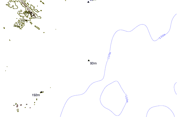
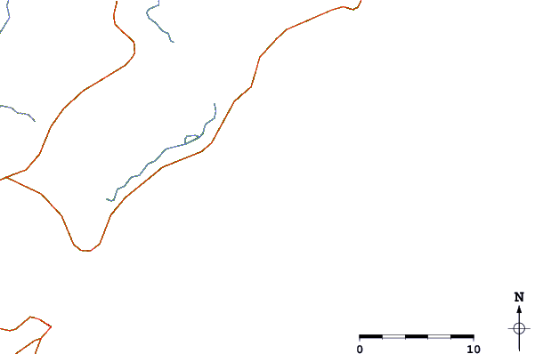
| Contours: | Roads & Rivers: | Select a
tide station / surf break / city |
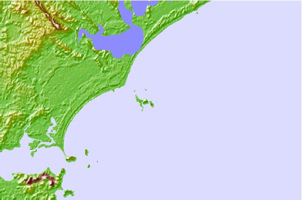
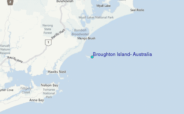
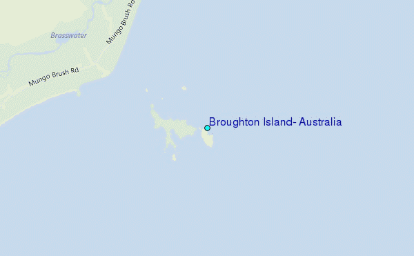
Use this relief map to navigate to tide stations, surf breaks and cities that are in the area of Broughton Island, Australia.
Other Nearby Locations' tide tables and tide charts to Broughton Island, Australia:
click location name for more details
 Surf breaks close to Broughton Island, Australia:
|
||
|---|---|---|
| Closest surf break | Little Gibber - Dark Point | 4 mi |
| Second closest surf break | Back Bommie | 9 mi |
| Third closest surf break | Yacaaba Head-Boulders | 9 mi |
| Fourth closest surf break | Hawks Nest-Mungo Brush | 10 mi |
| Fifth closest surf break | Suck Rock 2 | 10 mi |


 Nearest
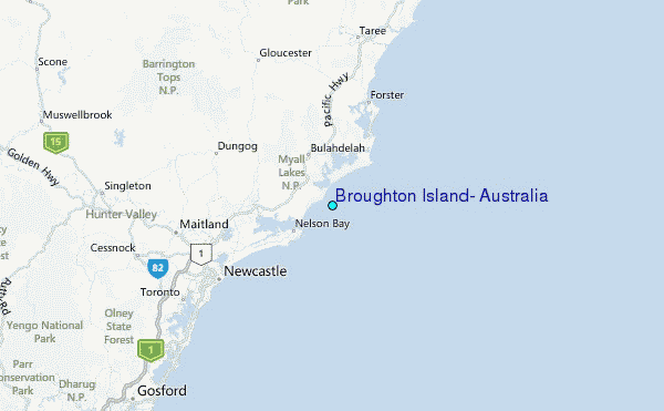