
| Distance / Altitude | Location | Report Date / Time | Live Weather | Wind | Gusts | Temp. | Visibility | Cloud |
|---|---|---|---|---|---|---|---|---|
| 52 km WNW / 414 m | Roberts International Airport/Monrovia (Liberia) | 2024-04-26 08:30 local (2024/04/26 08:30 GMT) | Dry and partly cloudy | calm (0 km/h at 0) | 27°C | 10.0 | few few - | |
| 334 km SSW / 15 m | SHIP6027 (Marine) | 2024-04-26 07:00 local (2024/04/26 07:00 GMT) | light winds from the S (11.16 km/h at 180) | 31°C | 17.7 km | |||
| 461 km WNW / 273 m | Freetown/Lungi International Airport (Sierra Leone) | 2024-04-26 08:00 local (2024/04/26 08:00 GMT) | - | calm (0 km/h at 0) | 26°C | 10.0 | few | |
| 533 km ENE / 1 m | Yamoussoukro Airport (Cote D'ivoire) | 2024-04-26 08:00 local (2024/04/26 08:00 GMT) | Dry and partly cloudy | light winds from the W (7 km/h at 260) | 27°C | 10.0 | scattered | |
| 568 km WNW / 26 m | ConakryGbessia (Guinea) | 2024-04-26 09:00 local (2024/04/26 09:00 GMT) | - | light winds from the N (7 km/h at 350) | 28°C | 30 km | - few - |
| Contours: | Roads & Rivers: | Select a
tide station / surf break / city |
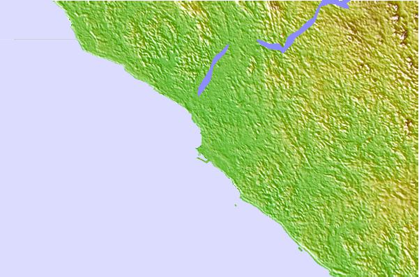
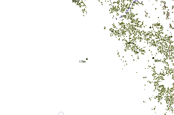
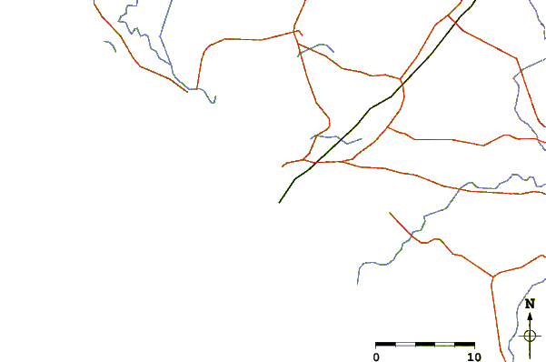
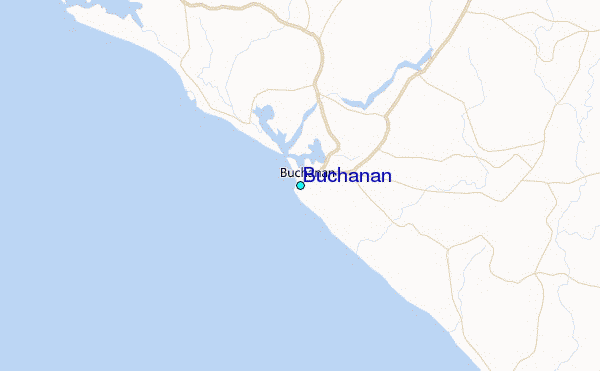
Use this relief map to navigate to tide stations, surf breaks and cities that are in the area of Buchanan.
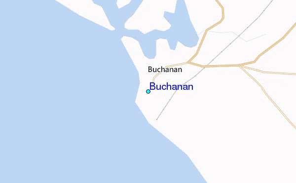
Other Nearby Locations' tide tables and tide charts to Buchanan:
click location name for more details
 Surf breaks close to Buchanan:
|
||
|---|---|---|
| Closest surf break | Tico's Point | 3 mi |
| Second closest surf break | Silver Beach | 45 mi |
| Third closest surf break | Kendeja Resort | 50 mi |
| Fourth closest surf break | 6th Street | 58 mi |
| Fifth closest surf break | Mumba Point | 61 mi |

 Nearest
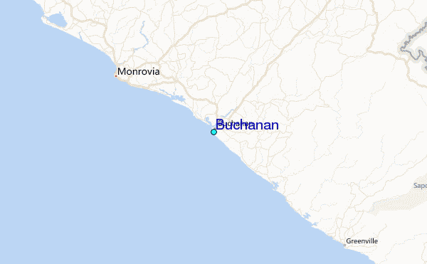