
| Distance / Altitude | Location | Report Date / Time | Live Weather | Wind | Gusts | Temp. | Visibility | Cloud |
|---|---|---|---|---|---|---|---|---|
| 218 km SW / 335 m | Cancun Airport (Mexico) | 2026-07-30 10:43 local (2026/07/30 14:43 GMT) | Dry and partly cloudy | light winds from the SE (19 km/h at 140) | 31°C | 11 | scattered broken | |
| 228 km S / 3 m | Yucatan Basin Buoy (Marine) | 2026-07-30 09:10 local (2026/07/30 13:10 GMT) | moderate winds from the ESE (22 km/h at 110) | 30°C | - | |||
| 233 km WSW / 0 m | lightning 107km NNW of Isla Mujeres (Mexico) | 2026-07-30 11:18 local (2026/07/30 15:18 GMT) | Thunderstorm | (- km/h at -) | — | |||
| 252 km SSW / 255 m | Cozumel Airport (Mexico) | 2026-07-30 10:42 local (2026/07/30 14:42 GMT) | Dry and partly cloudy | light winds from the SE (19 km/h at 140) | 33°C | 13 | few scattered | |
| 258 km SSW / 3 m | SHIP5183 (Marine) | 2026-07-30 09:00 local (2026/07/30 13:00 GMT) | - (- km/h at -) | 29°C | - | |||
| 258 km SSW / 15 m | SHIP1260 (Marine) | 2026-07-30 09:00 local (2026/07/30 13:00 GMT) | - (- km/h at -) | — | - km | |||
| 258 km SSW / 3 m | SHIP8620 (Marine) | 2026-07-30 09:00 local (2026/07/30 13:00 GMT) | - (- km/h at -) | 29°C | - | |||
| 258 km SSW / 3 m | SHIP1033 (Marine) | 2026-07-30 09:00 local (2026/07/30 13:00 GMT) | - (- km/h at -) | 29°C | - | |||
| 289 km ENE / 212 m | Havana/Jose Martí Airport (Cuba) | 2026-07-30 09:50 local (2026/07/30 13:50 GMT) | - | light winds from the ESE.(Wind varies from 080 to 150 degs) (7 km/h at 120) | 30°C | 9.0 | few | |
| 315 km NNE / 3 m | SHIP5180 (Marine) | 2026-07-30 09:00 local (2026/07/30 13:00 GMT) | - (- km/h at -) | 28°C | - |
| Contours: | Roads & Rivers: | Select a
tide station / surf break / city |
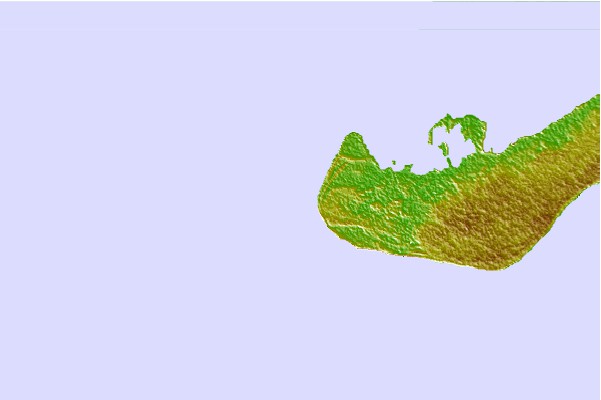
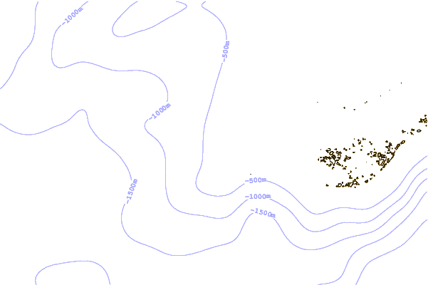
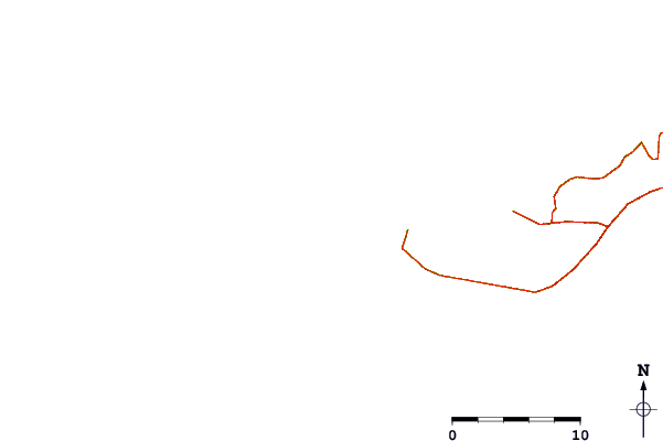
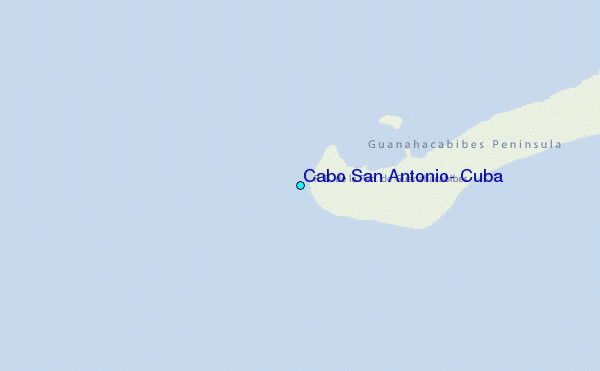
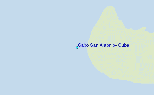
Use this relief map to navigate to tide stations, surf breaks and cities that are in the area of Cabo San Antonio, Cuba.
Other Nearby Locations' tide tables and tide charts to Cabo San Antonio, Cuba:
click location name for more details
 Surf breaks close to Cabo San Antonio, Cuba:
|
||
|---|---|---|
| Closest surf break | 7 Mile Beach | 291 mi |
| Second closest surf break | South Sound | 293 mi |
| Third closest surf break | East End | 306 mi |
| Fourth closest surf break | Rocky Point | 318 mi |
| Fifth closest surf break | San Pedro North Reef Pass | 334 mi |


 Nearest
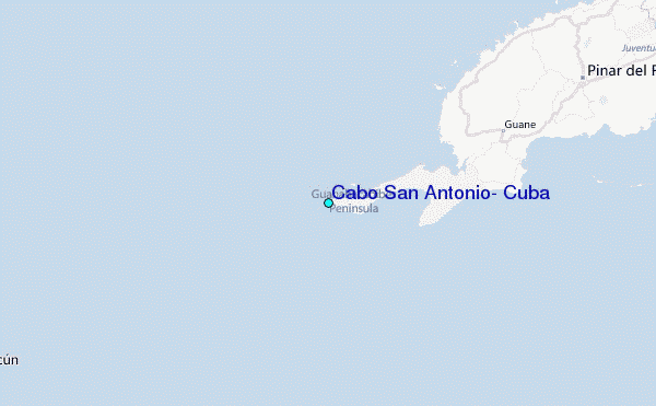