
| Distance / Altitude | Location | Report Date / Time | Live Weather | Wind | Gusts | Temp. | Visibility | Cloud |
|---|---|---|---|---|---|---|---|---|
| 5 km NE / 85 m | Cabo San Lucas (Mexico) | 2026-05-12 17:20 local (2026/05/13 00:20 GMT) | dry | - (- km/h at ) | — | - | - - 0 | |
| 8 km NW / 140 m | Cabo San Lucas Airport (Mexico) | 2026-05-12 16:41 local (2026/05/12 23:41 GMT) | - | wind obs. (19 kph from 210 degs) was rejected (- km/h at -) | — | 16 | ||
| 31 km NE / 29 m | San Jose del Cabo (Mexico) | 2026-05-12 17:23 local (2026/05/13 00:23 GMT) | dry | calm (3 km/h at 103) | 31°C | - | - - 0 | |
| 31 km NE / 52 m | San Jose del Cabo (Mexico) | 2026-05-12 17:21 local (2026/05/13 00:21 GMT) | dry | - (- km/h at ) | — | - | - - 0 | |
| 34 km NE / 246 m | Los Cabos International Airport/San José del Cabo (Mexico) | 2026-05-12 15:47 local (2026/05/12 22:47 GMT) | - | moderate winds from the ESE (20 km/h at 120) | — | 16 | ||
| 40 km NE / 20 m | San Jose Del Cabo (Mexico) | 2026-05-12 17:24 local (2026/05/13 00:24 GMT) | dry | calm (5 km/h at 283) | 31°C | - | - - 0 | |
| 59 km NW / 30 m | Pescadero (Mexico) | 2026-05-12 17:14 local (2026/05/13 00:14 GMT) | dry | calm (3 km/h at 5) | 26°C | - | - - 0 | |
| 140 km NW / 273 m | La Paz International Airport (Mexico) | 2026-05-12 16:40 local (2026/05/12 23:40 GMT) | - | light winds from the NW (11 km/h at 320) | 35°C | 16 | few | |
| 143 km NW / 25 m | La Paz (Mexico) | 2026-05-12 17:15 local (2026/05/13 00:15 GMT) | dry | light winds from the NW (8 km/h at 315) | 32°C | - | - - 0 | |
| 144 km NW / 18 m | LA Paz- Bcs (Mexico) | 2026-05-12 17:00 local (2026/05/13 00:00 GMT) | no report | wind obs. (18 kph from 170 degs) was rejected (- km/h at -) | 27°C | 2000 | - |
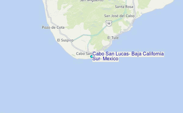
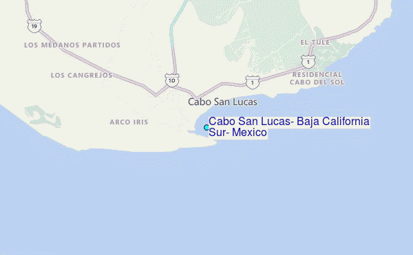
Choose Cabo San Lucas, Baja California Sur, Mexico Location Map Zoom:
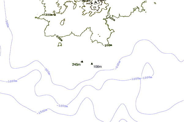
| Contours: | Roads & Rivers: | Select a
tide station / surf break / city |
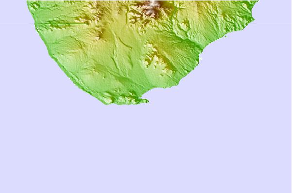
Use this relief map to navigate to tide stations, surf breaks and cities that are in the area of Cabo San Lucas, Baja California Sur, Mexico.
Other Nearby Locations' tide tables and tide charts to Cabo San Lucas, Baja California Sur, Mexico:
click location name for more details
 Surf breaks close to Cabo San Lucas, Baja California Sur, Mexico:
|
||
|---|---|---|
| Closest surf break | Backwash | 1 mi |
| Second closest surf break | Monuments | 2 mi |
| Third closest surf break | Bahia Chileno | 4 mi |
| Fourth closest surf break | Rancho San Carlos | 6 mi |
| Fifth closest surf break | La Punta | 7 mi |


 Nearest