
| Distance / Altitude | Location | Report Date / Time | Live Weather | Wind | Gusts | Temp. | Visibility | Cloud |
|---|---|---|---|---|---|---|---|---|
| 31 km NW / 482 m | Ziguinchor (Senegal) | 2025-12-24 11:00 local (2025/12/24 11:00 GMT) | - | light winds from the NNE (7 km/h at 20) | — | 0.0 | ||
| 31 km NW / 482 m | Ziguinchor Airport (Senegal) | 2025-12-24 10:00 local (2025/12/24 10:00 GMT) | - | light winds from the NNE (7 km/h at 20) | — | 0.0 | ||
| 65 km W / 407 m | Cape Skiring Airport (Senegal) | 2025-12-24 11:00 local (2025/12/24 11:00 GMT) | - | light winds from the NE (19 km/h at 40) | — | 0.0 | ||
| 72 km SE / 36 m | BissauAeroporto (Guinea-Bissau) | 2025-12-24 12:00 local (2025/12/24 12:00 GMT) | - | light winds from the N (15 km/h at 360) | 30°C | 30 km | scattered | |
| 73 km SE / 397 m | Bissau Airport (Guinea-bissau) | 2025-12-24 11:00 local (2025/12/24 11:00 GMT) | Dry and partly cloudy | light winds from the NE (15 km/h at 50) | 29°C | 8.0 | no significant cloud - - | |
| 128 km NW / 38 m | BanjulYundum (Gambia) | 2025-12-24 12:00 local (2025/12/24 12:00 GMT) | - | wind obs. (33 kph from 100 degs) was rejected (- km/h at -) | 29°C | 30 km | scattered | |
| 135 km NW / 162 m | Banjul/Yundum International Airport (Gambia) | 2025-12-24 11:00 local (2025/12/24 11:00 GMT) | - | moderate winds from the N (22 km/h at 10) | — | 0.0 | ||
| 145 km ENE / 10 m | Kolda Airport (Senegal) | 2025-12-24 11:00 local (2025/12/24 11:00 GMT) | - | light winds from the NE (15 km/h at 40) | — | 0.0 | ||
| 156 km SW / 15 m | ASCATB343E12N (Marine) | 2025-12-24 10:34 local (2025/12/24 10:34 GMT) | moderate winds from the NNE (25 km/h at 24) | — | - km | |||
| 177 km WNW / 15 m | ASCATB343E13N (Marine) | 2025-12-24 10:33 local (2025/12/24 10:33 GMT) | moderate winds from the NE (25 km/h at 36) | — | - km |
| Contours: | Roads & Rivers: | Select a
tide station / surf break / city |
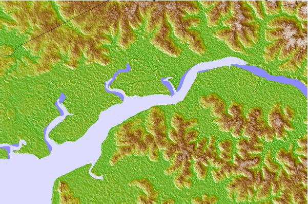
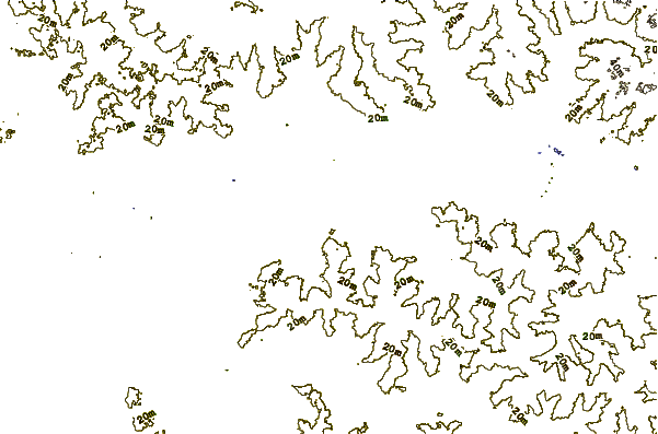
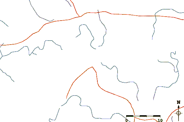
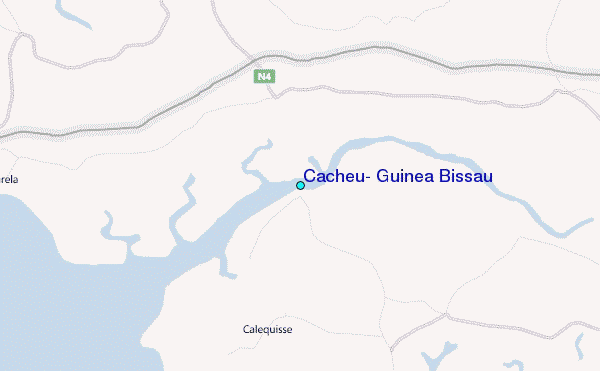
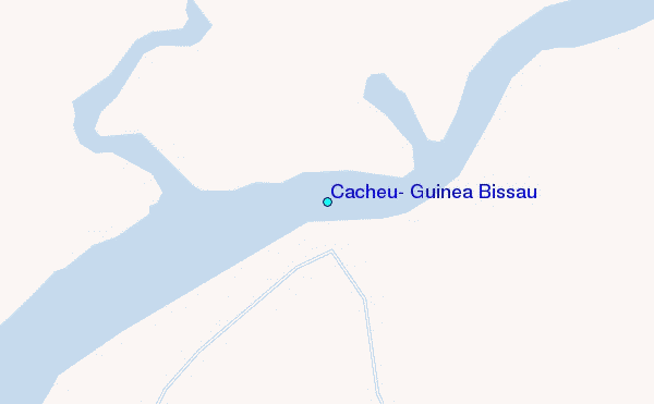
Use this relief map to navigate to tide stations, surf breaks and cities that are in the area of Cacheu, Guinea Bissau.
Other Nearby Locations' tide tables and tide charts to Cacheu, Guinea Bissau:
click location name for more details
 Surf breaks close to Cacheu, Guinea Bissau:
|
||
|---|---|---|
| Closest surf break | Cap Skirring | 39 mi |
| Second closest surf break | Kololi Kotu Kombo | 88 mi |
| Third closest surf break | Senegambia Beach | 89 mi |
| Fourth closest surf break | Baobab (Somone) | 163 mi |
| Fifth closest surf break | Piere de Lisse | 170 mi |


 Nearest
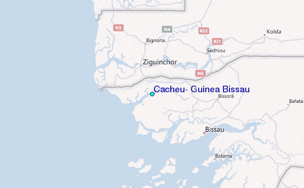