
| Distance / Altitude | Location | Report Date / Time | Live Weather | Wind | Gusts | Temp. | Visibility | Cloud |
|---|---|---|---|---|---|---|---|---|
| 100 km WNW / 13 m | Horn Island Airport (Australia) | 2026-03-05 16:39 local (2026/03/05 06:39 GMT) | Shower light rain shower | light winds from the WSW (13 km/h at 250) | 26°C | 10.0 | broken broken | |
| 101 km WNW / 5 m | Horn Island Automatic Weather Station (Australia) | 2026-03-05 17:00 local (2026/03/05 07:00 GMT) | no report | light winds from the WNW (11 km/h at 290) | 26°C | - | - no observation - | |
| 111 km NW / 15 m | SHIP5357 (Marine) | 2026-03-05 15:00 local (2026/03/05 05:00 GMT) | strong winds from the W (39.6 km/h at 270) | 29°C | - km | |||
| 134 km N / 4 m | Coconut Island (Australia) | 2026-03-05 16:00 local (2026/03/05 06:00 GMT) | no report | - (- km/h at -) | 26°C | - | - | |
| 176 km SSE / 18 m | Lockhart River (Australia) | 2026-03-05 17:00 local (2026/03/05 07:00 GMT) | no report | light winds from the WNW (13 km/h at 290) | 25°C | - | - no observation - | |
| 111 km NW / 15 m | SHIP4313 (Marine) | 2026-03-05 15:00 local (2026/03/05 05:00 GMT) | strong winds from the W (39.6 km/h at 270) | 29°C | - km | |||
| 111 km NW / 3 m | SHIP2731 (Marine) | 2026-03-05 15:00 local (2026/03/05 05:00 GMT) | strong winds from the W (40 km/h at 270) | 27°C | - | |||
| 111 km NW / 15 m | SHIP6326 (Marine) | 2026-03-05 15:00 local (2026/03/05 05:00 GMT) | strong winds from the W (39.6 km/h at 270) | 29°C | - km | |||
| 111 km NW / 3 m | SHIP3035 (Marine) | 2026-03-05 15:00 local (2026/03/05 05:00 GMT) | strong winds from the W (40 km/h at 270) | 27°C | - | |||
| 117 km N / 15 m | SHIP4892 (Marine) | 2026-03-05 16:00 local (2026/03/05 06:00 GMT) | moderate winds from the W (25.2 km/h at 260) | 29°C | - km |
| Contours: | Roads & Rivers: | Select a
tide station / surf break / city |
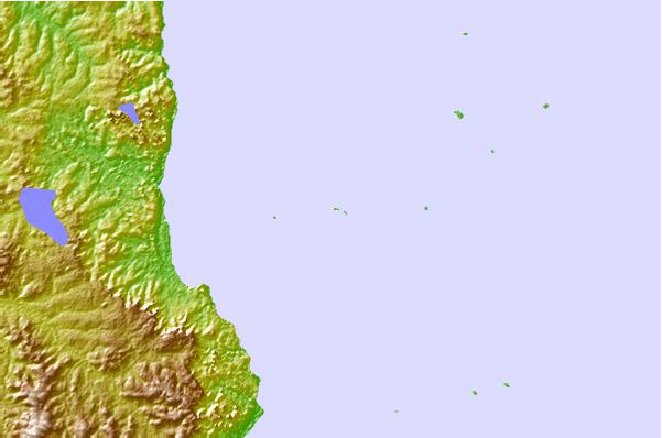
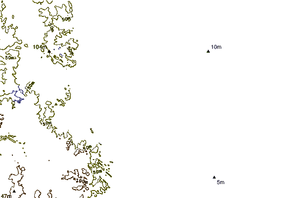
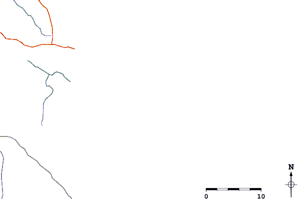
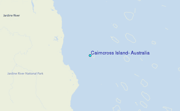
Use this relief map to navigate to tide stations, surf breaks and cities that are in the area of Cairncross Island, Australia.
Other Nearby Locations' tide tables and tide charts to Cairncross Island, Australia:
click location name for more details
 Surf breaks close to Cairncross Island, Australia:
|
||
|---|---|---|
| Closest surf break | Tupira Right | 500 mi |
| Second closest surf break | Forok Point | 531 mi |
| Third closest surf break | The Wharf (Mission Point) | 533 mi |
| Fourth closest surf break | Wewak Point | 534 mi |
| Fifth closest surf break | Moem Point | 535 mi |


 Nearest
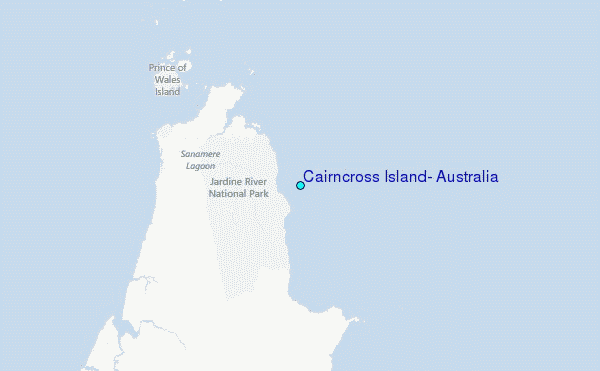