
| Distance / Altitude | Location | Report Date / Time | Live Weather | Wind | Gusts | Temp. | Visibility | Cloud |
|---|---|---|---|---|---|---|---|---|
| 101 km SW / 6 m | Laiya (Philippines) | 2026-04-23 12:51 local (2026/04/23 04:51 GMT) | dry | - (- km/h at ) | — | - | - - 0 | |
| 145 km W / 22 m | Sucat (Philippines) | 2026-04-23 13:24 local (2026/04/23 05:24 GMT) | dry | light winds from the SE (6 km/h at 138) | 34°C | - | - - 0 | |
| 149 km W / 26 m | Paranaque (Philippines) | 2026-04-23 13:36 local (2026/04/23 05:36 GMT) | dry | light winds from the SE (10 km/h at 129) | 35°C | - | - - 0 | |
| 152 km W / 21 m | Ninoy Aquino International Airport (Manila) (Philippines) | 2026-04-23 12:00 local (2026/04/23 04:00 GMT) | - | light winds from the SSE.(Wind varies from 080 to 200 degs) (13 km/h at 150) | 34°C | 10.0 | few - - | |
| 153 km W / 26 m | Quezon City (Åland) | 2026-04-23 13:28 local (2026/04/23 05:28 GMT) | dry | calm (5 km/h at 180) | 34°C | - | - - 0 | |
| 154 km S / 47 m | Romblon Airport (Tablas Island) (Philippines) | 2026-04-23 12:00 local (2026/04/23 04:00 GMT) | Dry and partly cloudy | wind obs. (6 kph from 340 degs) was rejected (- km/h at -) | 33°C | 10.0 | few scattered | |
| 227 km WNW / 584 m | Angeles/Pampanga Airport (Philippines) | 2026-04-23 12:00 local (2026/04/23 04:00 GMT) | Dry and partly cloudy | wind obs. (19 kph from 180 degs) was rejected (- km/h at -) | 33°C | 8.0 | broken | |
| 227 km SE / 210 m | Macatan Airport (Philippines) | 2026-04-23 12:00 local (2026/04/23 04:00 GMT) | - | wind obs. (19 kph from 30 degs) was rejected (- km/h at -) | 32°C | 10.0 | few | |
| 235 km WNW / 19 m | Santa Lucia wx (Philippines) | 2026-04-23 13:14 local (2026/04/23 05:14 GMT) | dry | calm (2 km/h at 274) | 34°C | - | - - 0 | |
| 237 km W / 452 m | Olongapo/Subic Bay Airport (Philippines) | 2026-04-23 12:00 local (2026/04/23 04:00 GMT) | - | light winds from the SW (15 km/h at 220) | 32°C | 8.0 | few |
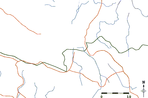
| Contours: | Roads & Rivers: | Select a
tide station / surf break / city |

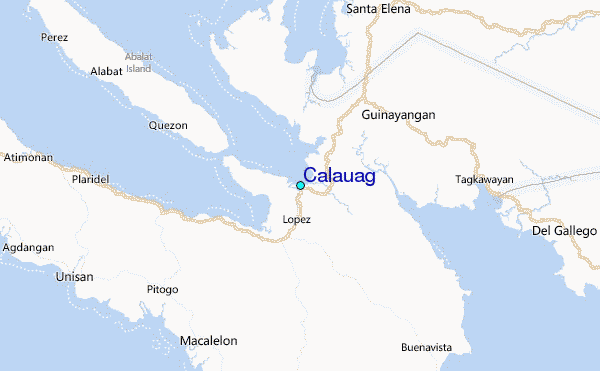
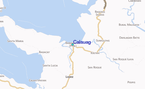
Use this relief map to navigate to tide stations, surf breaks and cities that are in the area of Calauag.
Other Nearby Locations' tide tables and tide charts to Calauag:
click location name for more details
 Surf breaks close to Calauag:
|
||
|---|---|---|
| Closest surf break | Bagasbas Beach | 48 mi |
| Second closest surf break | Virac Harbour | 132 mi |
| Third closest surf break | Cobra Reef - Cemento | 133 mi |
| Fourth closest surf break | Baler - Charlie's Point | 134 mi |
| Fifth closest surf break | Baler - Lindy's Point | 134 mi |


 Nearest
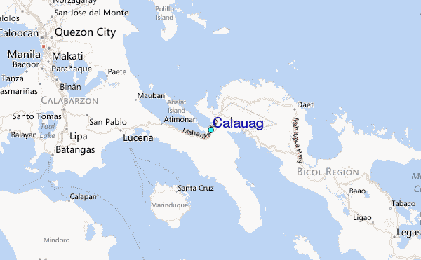