
| Distance / Altitude | Location | Report Date / Time | Live Weather | Wind | Gusts | Temp. | Visibility | Cloud |
|---|---|---|---|---|---|---|---|---|
| 23 km SSE / 204 m | Desierto Atacama Airport (Chile) | 2026-02-04 21:00 local (2026/02/05 00:00 GMT) | Dry and partly cloudy | light winds from the SW (19 km/h at 230) | 22°C | 10.0 | scattered - - | |
| 58 km SE / 478 m | Copiapó Universidad de Atacama (Chile) | 2026-02-04 21:00 local (2026/02/05 00:00 GMT) | - | wind obs. (32 kph from 150 degs) was rejected (- km/h at -) | — | - | - | |
| 314 km S / 961 m | Chapilca (Mexico) | 2026-02-04 21:02 local (2026/02/05 00:02 GMT) | dry | calm (2 km/h at 243) | 22°C | - | - - 0 | |
| 318 km S / 142 m | La Serena/La Florida Airport (Chile) | 2026-02-04 21:00 local (2026/02/05 00:00 GMT) | no report | light winds from the WNW (19 km/h at 300) | — | 0.0 | - - - | |
| 329 km S / 644 m | Vicuña- Parque Los Pimientos (Chile) | 2026-02-04 21:00 local (2026/02/05 00:00 GMT) | - | light winds from the WSW (18 km/h at 240) | — | - | - | |
| 329 km S / 696 m | Vicuña wx (Chile) | 2026-02-04 21:30 local (2026/02/05 00:30 GMT) | - | light winds from the W (6 km/h at 277) | 25°C | - | - - 0 | |
| 377 km N / 238 m | Universidad Católica Norte- Antofagasta (Chile) | 2026-02-04 21:00 local (2026/02/05 00:00 GMT) | - | wind obs. (58 kph from 220 degs) was rejected (- km/h at -) | — | - | - | |
| 391 km S / 291 m | Ovalle Escuela Agrícola (Chile) | 2026-02-04 21:00 local (2026/02/05 00:00 GMT) | - | wind obs. (36 kph from 90 degs) was rejected (- km/h at -) | — | - | - | |
| 403 km N / 113 m | Antofagasta (Chile) | 2026-02-04 21:00 local (2026/02/05 00:00 GMT) | State of sky unchanged | light winds from the S (15 km/h at 180) | 22°C | 45 km | clear | |
| 403 km S / 505 m | Monte Patria- Municipalidad (Chile) | 2026-02-04 21:00 local (2026/02/05 00:00 GMT) | - | moderate winds from the SW (22 km/h at 220) | — | - | - |
| Contours: | Roads & Rivers: | Select a
tide station / surf break / city |
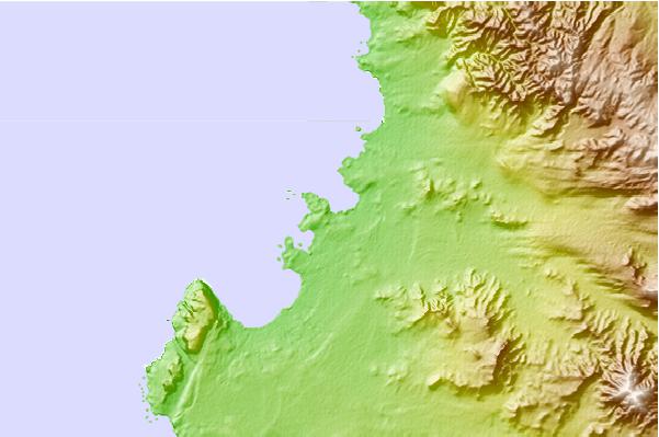

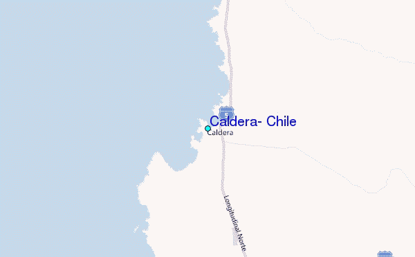
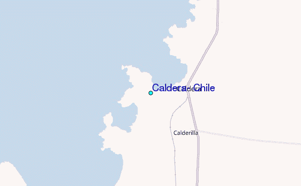
Use this relief map to navigate to tide stations, surf breaks and cities that are in the area of Caldera, Chile.
Other Nearby Locations' tide tables and tide charts to Caldera, Chile:
click location name for more details
 Surf breaks close to Caldera, Chile:
|
||
|---|---|---|
| Closest surf break | Playa Blanca | 58 mi |
| Second closest surf break | Punta Choros | 155 mi |
| Third closest surf break | La Sarena (Avenida del Mar) | 199 mi |
| Fourth closest surf break | Totoralillo | 210 mi |
| Fifth closest surf break | Nuluhaga | 222 mi |


 Nearest
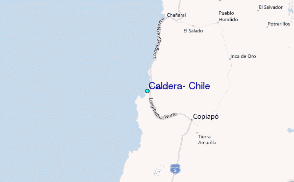