
| Distance / Altitude | Location | Report Date / Time | Live Weather | Wind | Gusts | Temp. | Visibility | Cloud |
|---|---|---|---|---|---|---|---|---|
| 25 km S / 219 m | Bristol/Lulsgate Airport (United Kingdom) | 2026-02-10 03:20 local (2026/02/10 03:20 GMT) | Moderate rain | light winds from the ESE (15 km/h at 120) | 8°C | 1.1 | overcast | |
| 32 km SSW / 3 m | Weston Bay Waverider (Marine) | 2026-02-10 03:00 local (2026/02/10 03:00 GMT) | - (- km/h at -) | — | - | |||
| 32 km WNW / 550 m | Blorenge (United Kingdom) | 2026-02-10 04:00 local (2026/02/10 04:00 GMT) | - | fresh winds from the ESE (31 km/h at 118) | 5°C | - | - - 0 | |
| 46 km SW / 80 m | Llantrithyd Park (United Kingdom) | 2026-02-10 04:00 local (2026/02/10 04:00 GMT) | - | light winds from the E (7 km/h at 93) | 8°C | - | - - 0 | |
| 48 km SW / 209 m | Cardiff-Wales Airport (United Kingdom) | 2026-02-10 03:20 local (2026/02/10 03:20 GMT) | Fog - | light winds from the ESE (17 km/h at 110) | 8°C | 0.4 | overcast | |
| 51 km SSW / 3 m | Hinkley Point 2 Waverider (Marine) | 2026-02-10 03:30 local (2026/02/10 03:30 GMT) | - (- km/h at -) | — | - | |||
| 52 km SW / 49 m | St Athan (United Kingdom) | 2026-02-10 04:00 local (2026/02/10 04:00 GMT) | Snow | light winds from the ESE (15 km/h at 110) | 8°C | 1.2 km | - overcast - | |
| 53 km E / 145 m | Lyneham (United Kingdom) | 2026-02-10 04:00 local (2026/02/10 04:00 GMT) | - | - (- km/h at -) | — | - | - - - | |
| 55 km N / 76 m | Hereford-Credenhill (United Kingdom) | 2026-02-10 04:00 local (2026/02/10 04:00 GMT) | Snow | light winds from the E (11 km/h at 90) | 7°C | 4.7 km | - overcast - | |
| 58 km SE / 210 m | Edington Airstrip (United Kingdom) | 2026-02-10 04:00 local (2026/02/10 04:00 GMT) | - | fresh winds from the SE (37 km/h at 127) | 7°C | - | - - 0 |
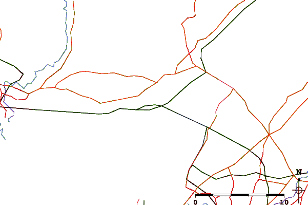
| Contours: | Roads & Rivers: | Select a
tide station / surf break / city |
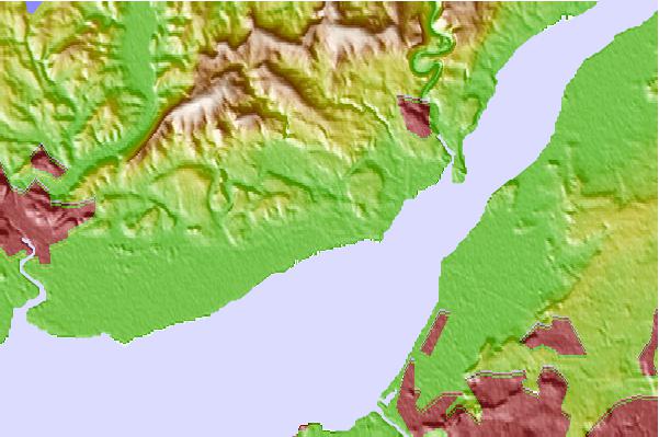
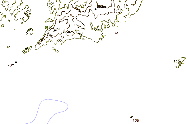
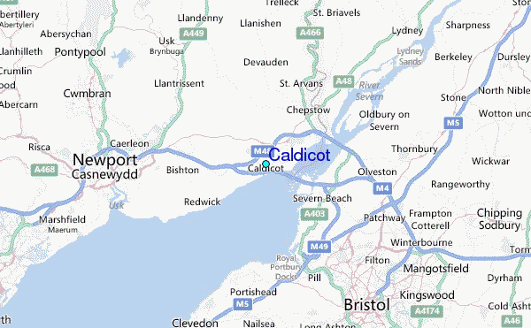
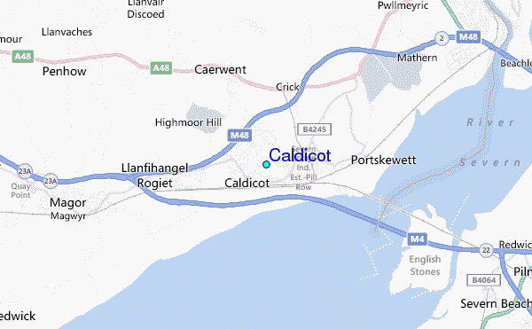
Use this relief map to navigate to tide stations, surf breaks and cities that are in the area of Caldicot.
Other Nearby Locations' tide tables and tide charts to Caldicot:
click location name for more details
 Surf breaks close to Caldicot:
|
||
|---|---|---|
| Closest surf break | The Knap | 27 mi |
| Second closest surf break | Gileston | 32 mi |
| Third closest surf break | Llantwit Major | 35 mi |
| Fourth closest surf break | Southerndown | 38 mi |
| Fifth closest surf break | Ogmore-by-Sea | 39 mi |


 Nearest
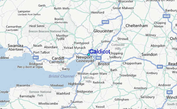