
| Distance / Altitude | Location | Report Date / Time | Live Weather | Wind | Gusts | Temp. | Visibility | Cloud |
|---|---|---|---|---|---|---|---|---|
| 4 km ENE / 34 m | Lima Jorge Chávez International Airport (Peru) | 2026-05-29 10:00 local (2026/05/29 15:00 GMT) | Dry and partly cloudy | light winds from the NW (11 km/h at 310) | 23°C | 8.0 | broken | |
| 23 km ESE / 361 m | La Molina wx (Peru) | 2026-05-29 08:44 local (2026/05/29 13:44 GMT) | dry | calm (0 km/h at 264) | 21°C | - | - - 0 | |
| 59 km SSW / 15 m | ASCATC283E12S (Marine) | 2026-05-29 09:15 local (2026/05/29 14:15 GMT) | light winds from the SE (13 km/h at 131) | — | - km | |||
| 141 km SW / 15 m | ASCATB282E12S (Marine) | 2026-05-29 08:46 local (2026/05/29 13:46 GMT) | light winds from the ESE (16 km/h at 104) | — | - km | |||
| 147 km SW / 15 m | ASCATC282E12S (Marine) | 2026-05-29 09:15 local (2026/05/29 14:15 GMT) | light winds from the ESE (16 km/h at 114) | — | - km | |||
| 149 km W / 15 m | ASCATB282E11S (Marine) | 2026-05-29 08:45 local (2026/05/29 13:45 GMT) | light winds from the E (14 km/h at 96) | — | - km | |||
| 153 km S / 15 m | ASCATC283E13S (Marine) | 2026-05-29 09:15 local (2026/05/29 14:15 GMT) | moderate winds from the SE (22 km/h at 138) | — | - km | |||
| 153 km W / 15 m | ASCATC282E11S (Marine) | 2026-05-29 09:15 local (2026/05/29 14:15 GMT) | light winds from the ESE (14 km/h at 112) | — | - km | |||
| 186 km E / 3812 m | Jauja Airport (Peru) | 2026-05-29 10:00 local (2026/05/29 15:00 GMT) | - | calm (4 km/h at 1) | — | 0.0 | ||
| 207 km SSW / 15 m | ASCATB282E13S (Marine) | 2026-05-29 08:46 local (2026/05/29 13:46 GMT) | moderate winds from the SE (22 km/h at 124) | — | - km |
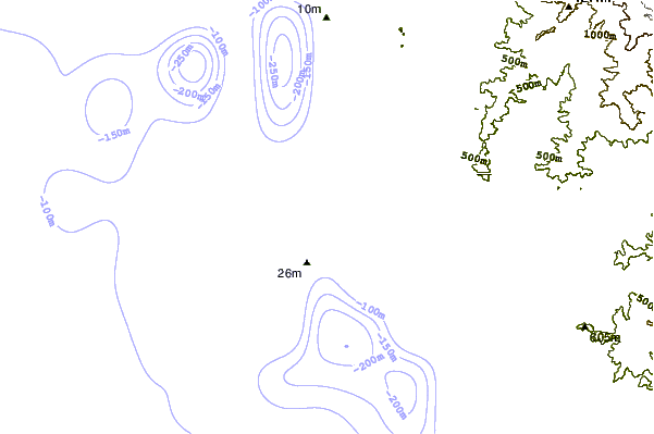
| Contours: | Roads & Rivers: | Select a
tide station / surf break / city |
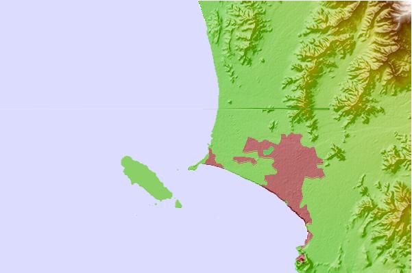
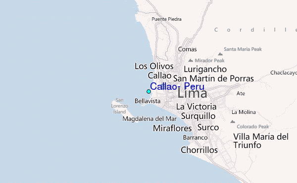
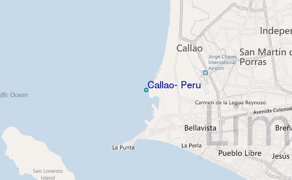
Use this relief map to navigate to tide stations, surf breaks and cities that are in the area of Callao, Peru.
Other Nearby Locations' tide tables and tide charts to Callao, Peru:
click location name for more details
 Surf breaks close to Callao, Peru:
|
||
|---|---|---|
| Closest surf break | Punta Perfection | 2 mi |
| Second closest surf break | El Camotal | 4 mi |
| Third closest surf break | El Cabezo | 7 mi |
| Fourth closest surf break | Pampilla | 9 mi |
| Fifth closest surf break | Punta Roquitas | 9 mi |


 Nearest
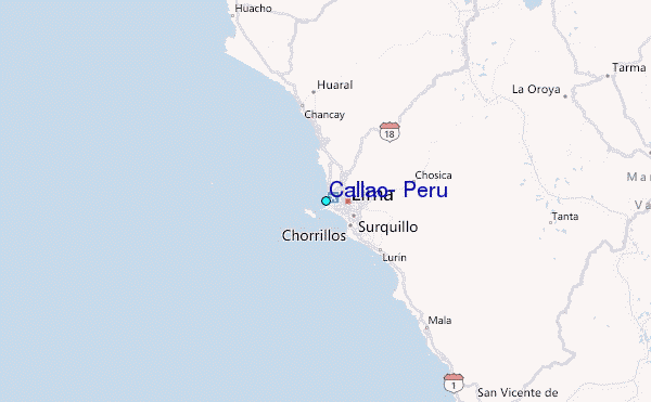