
| Distance / Altitude | Location | Report Date / Time | Live Weather | Wind | Gusts | Temp. | Visibility | Cloud |
|---|---|---|---|---|---|---|---|---|
| 116 km ENE / 208 m | Holguin Airport (Cuba) | 2025-12-25 05:50 local (2025/12/25 10:50 GMT) | - | light winds from the NE (9 km/h at 50) | 18°C | 8.0 | few | |
| 144 km NW / 212 m | Camaguey/Ignacio Agramonte Internationa Airport (Cuba) | 2025-12-25 05:50 local (2025/12/25 10:50 GMT) | - | light winds from the N (9 km/h at 360) | 18°C | 9.0 | few | |
| 154 km E / 209 m | Santiago De Cuba Airport (Cuba) | 2025-12-25 05:50 local (2025/12/25 10:50 GMT) | - | light winds from the N (15 km/h at 10) | 21°C | 9.0 | few | |
| 204 km S / 193 m | Sangster/Montego Bay Airport (Jamaica) | 2025-12-25 06:00 local (2025/12/25 11:00 GMT) | - | moderate winds from the ENE (26 km/h at 70) | 26°C | 10.0 | few | |
| 214 km S / 3 m | SHIP5857 (Marine) | 2025-12-25 07:00 local (2025/12/25 12:00 GMT) | - (- km/h at -) | 25°C | - | |||
| 213 km S / 3 m | SHIP9238 (Marine) | 2025-12-25 07:00 local (2025/12/25 12:00 GMT) | - (- km/h at -) | 25°C | - | |||
| 215 km S / 3 m | SHIP2390 (Marine) | 2025-12-25 05:00 local (2025/12/25 10:00 GMT) | - (- km/h at -) | 26°C | - | |||
| 215 km S / 15 m | SHIP7773 (Marine) | 2025-12-25 05:00 local (2025/12/25 10:00 GMT) | - (- km/h at -) | — | - km | |||
| 215 km S / 3 m | SHIP7336 (Marine) | 2025-12-25 05:00 local (2025/12/25 10:00 GMT) | - (- km/h at -) | 26°C | - | |||
| 215 km S / 3 m | SHIP6587 (Marine) | 2025-12-25 05:00 local (2025/12/25 10:00 GMT) | - (- km/h at -) | 26°C | - |
| Contours: | Roads & Rivers: | Select a
tide station / surf break / city |
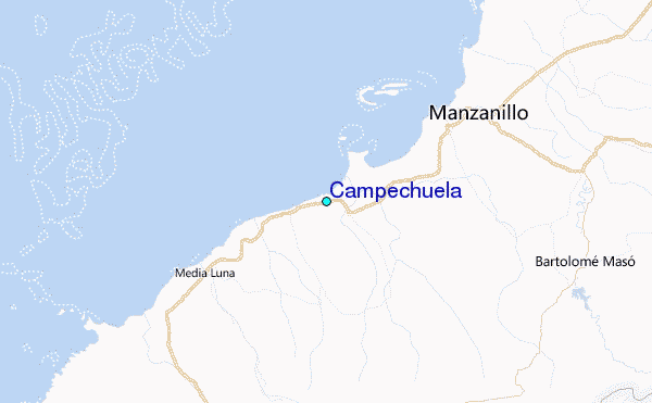
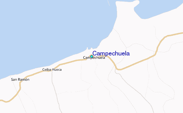
Use this relief map to navigate to tide stations, surf breaks and cities that are in the area of Campechuela.
Other Nearby Locations' tide tables and tide charts to Campechuela:
click location name for more details
 Surf breaks close to Campechuela:
|
||
|---|---|---|
| Closest surf break | Discovery Bay | 122 mi |
| Second closest surf break | Runaway Bay | 122 mi |
| Third closest surf break | Peenie Wally | 145 mi |
| Fourth closest surf break | Navy Island | 151 mi |
| Fifth closest surf break | Winnifred Beach | 154 mi |


 Nearest
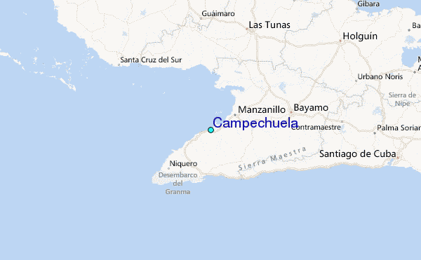