
| Distance / Altitude | Location | Report Date / Time | Live Weather | Wind | Gusts | Temp. | Visibility | Cloud |
|---|---|---|---|---|---|---|---|---|
| 14 km S / 95 m | LE Havre Octeville (France) | 2026-07-05 19:00 local (2026/07/05 17:00 GMT) | no report | light winds from the WSW (14 km/h at 250) | 19°C | 12 | - | |
| 16 km S / 217 m | Le Havre/Octeville Airport (France) | 2026-07-05 18:30 local (2026/07/05 16:30 GMT) | - | light winds from the NNW.(Wind varies from 310 to 020 degs) (11 km/h at 340) | — | 0.0 | ||
| 31 km S / 217 m | St Gatien Airport (France) | 2026-07-05 18:30 local (2026/07/05 16:30 GMT) | - | light winds from the NW.(Wind varies from 270 to 020 degs) (9 km/h at 310) | — | 0.0 | ||
| 32 km S / 143 m | ST Gatien Des B (France) | 2026-07-05 19:00 local (2026/07/05 17:00 GMT) | no report | light winds from the W (11 km/h at 260) | 18°C | 16 | - - - | |
| 52 km SSW / 10 m | Langrune sur Mer (France) | 2026-07-05 19:00 local (2026/07/05 17:00 GMT) | - | light winds from the SSE (7 km/h at 167) | 21°C | - | - - 0 | |
| 68 km E / 133 m | Saint-Denis-sur-Scie wx (France) | 2026-07-05 19:02 local (2026/07/05 17:02 GMT) | dry | calm (2 km/h at 66) | 22°C | - | - - 0 | |
| 69 km SSW / 217 m | Caen/Carpiquet Airport (France) | 2026-07-05 19:30 local (2026/07/05 17:30 GMT) | no report | light winds from the N (14 km/h at 10) | 19°C | 17 | - - - | |
| 72 km ESE / 21 m | Rouen (France) | 2026-07-05 19:44 local (2026/07/05 17:44 GMT) | dry | calm (0 km/h at 303) | 25°C | - | - - 0 | |
| 73 km ESE / 131 m | Bihorel wx (France) | 2026-07-05 19:25 local (2026/07/05 17:25 GMT) | dry | calm (2 km/h at 304) | 26°C | - | - - 0 | |
| 75 km ENE / 34 m | Dieppe (France) | 2026-07-05 19:30 local (2026/07/05 17:30 GMT) | no report | light winds from the SW (18 km/h at 220) | 16°C | - | - |
| Contours: | Roads & Rivers: | Select a
tide station / surf break / city |
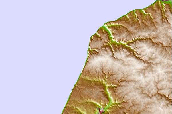
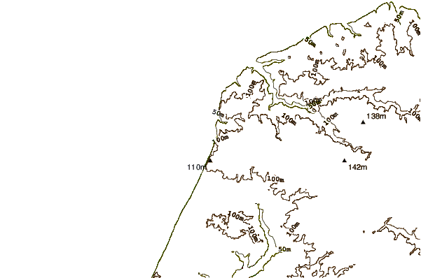
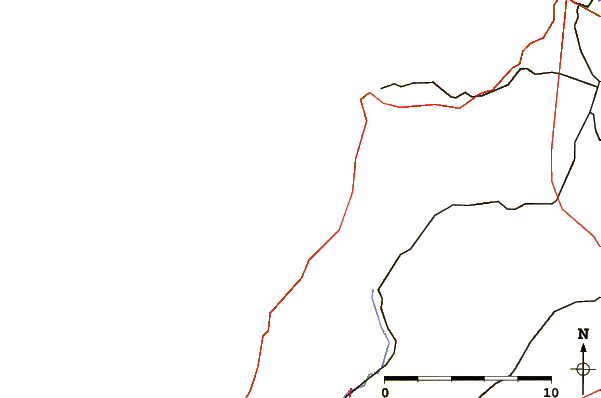
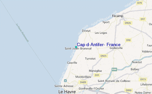
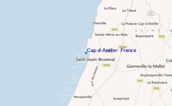
Use this relief map to navigate to tide stations, surf breaks and cities that are in the area of Cap d'Antifer, France.
Other Nearby Locations' tide tables and tide charts to Cap d'Antifer, France:
click location name for more details
 Surf breaks close to Cap d'Antifer, France:
|
||
|---|---|---|
| Closest surf break | Etretat | 4 mi |
| Second closest surf break | Vaucottes | 6 mi |
| Third closest surf break | Yport | 9 mi |
| Fourth closest surf break | Le Havre Beach | 11 mi |
| Fifth closest surf break | Sainte Adresse | 11 mi |


 Nearest
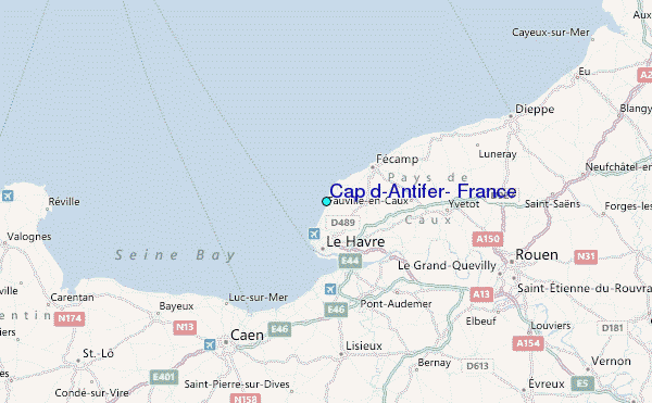