
| Distance / Altitude | Location | Report Date / Time | Live Weather | Wind | Gusts | Temp. | Visibility | Cloud |
|---|---|---|---|---|---|---|---|---|
| 72 km ENE / 506 m | Adak Naval Air Station Airport (Alaska) | 2024-04-19 23:38 local (2024/04/20 08:38 GMT) | Dry and cloudy | light winds from the N (7 km/h at 10) | 2°C | 16 | few broken overcast | |
| 72 km ENE / 3 m | BUOY-ADKA2 (Marine) | 2024-04-19 23:48 local (2024/04/20 08:48 GMT) | light winds from the ENE (11 km/h at 70) | 3°C | - | |||
| 243 km ENE / 211 m | Atka Airport (Alaska) | 2024-04-19 22:56 local (2024/04/20 07:56 GMT) | Clear | moderate winds from the WNW (28 km/h at 300) | 1°C | 16 | ||
| 246 km ENE / 3 m | BUOY-ATKA2 (Marine) | 2024-04-19 23:48 local (2024/04/20 08:48 GMT) | calm (4 km/h at 310) | 1°C | - | |||
| 381 km E / - m | SHIP5637 (ocean) | 2024-04-19 22:00 local (2024/04/20 07:00 GMT) | - | moderate winds from the NNW (25 km/h at 340) | — | - | no observation |
| Contours: | Roads & Rivers: | Select a
tide station / surf break / city |
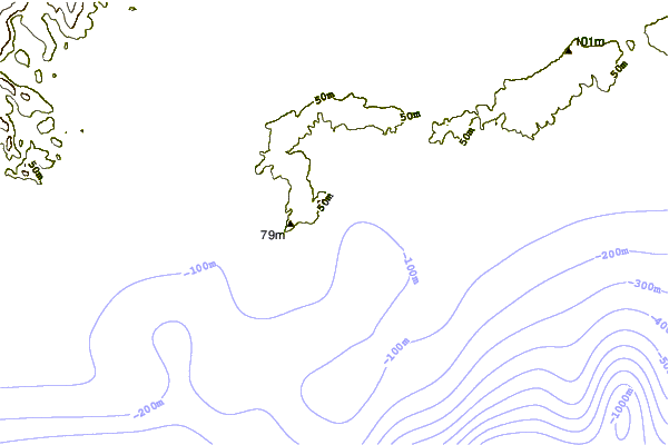
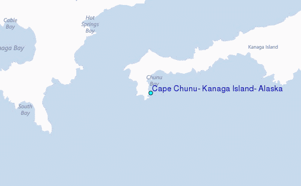
Use this relief map to navigate to tide stations, surf breaks and cities that are in the area of Cape Chunu, Kanaga Island, Alaska.
Other Nearby Locations' tide tables and tide charts to Cape Chunu, Kanaga Island, Alaska:
click location name for more details
 Surf breaks close to Cape Chunu, Kanaga Island, Alaska:
|
||
|---|---|---|
| Closest surf break | Khalaktyrsky Beach | 993 mi |
| Second closest surf break | Fossil Beach Kodiak | 1081 mi |
| Third closest surf break | Monashka Bay | 1084 mi |
| Fourth closest surf break | Termination Point | 1085 mi |
| Fifth closest surf break | Mill Bay | 1087 mi |

 Nearest
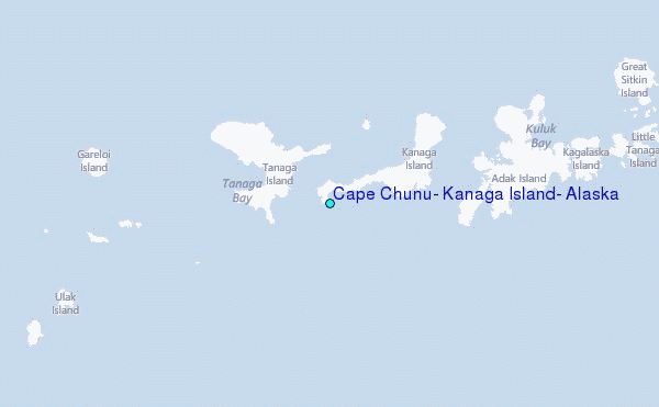