
| Distance / Altitude | Location | Report Date / Time | Live Weather | Wind | Gusts | Temp. | Visibility | Cloud |
|---|---|---|---|---|---|---|---|---|
| 31 km SSW / 3 m | Cape Cod Bay- MA (Marine) | 2026-08-01 23:00 local (2026/08/02 03:00 GMT) | - (- km/h at -) | 22°C | - | |||
| 35 km S / 218 m | Chatham Airport (Massachusetts) | 2026-08-01 22:35 local (2026/08/02 02:35 GMT) | Dry and cloudy | light winds from the SW (13 km/h at 220) | 22°C | 16 | overcast | |
| 42 km S / 217 m | Hyannis Airport (Massachusetts) | 2026-08-01 22:44 local (2026/08/02 02:44 GMT) | Dry and partly cloudy | moderate winds from the WSW.(Wind varies from 007 to 013 degs) (24 km/h at 240) | 22°C | 16 | broken | |
| 55 km W / 4 m | Marshfield Airport (Massachusetts) | 2026-08-01 22:35 local (2026/08/02 02:35 GMT) | Clear | light winds from the SSW (13 km/h at 210) | 23°C | 16 | ||
| 58 km SSW / 219 m | Falmouth/Otis Air Base Airport (Massachusetts) | 2026-08-01 21:45 local (2026/08/02 01:45 GMT) | Dry and cloudy | moderate winds from the WSW (20 km/h at 240) | 22°C | 16 | overcast | |
| 60 km S / 3 m | Nantucket Sound Buoy (Marine) | 2026-08-01 23:10 local (2026/08/02 03:10 GMT) | moderate winds from the SW (22 km/h at 230) | 22°C | - | |||
| 60 km WSW / 209 m | Plymouth Airport (Massachusetts) | 2026-08-01 22:41 local (2026/08/02 02:41 GMT) | Dry and partly cloudy | light winds from the SSW (13 km/h at 210) | 22°C | 16 | scattered | |
| 63 km SSW / 3 m | BUOY-WAXM3 (Marine) | 2026-08-01 23:00 local (2026/08/02 03:00 GMT) | - (0 km/h at -) | 23°C | - | |||
| 65 km WNW / 3 m | Boston Buoy (Marine) | 2026-08-01 23:10 local (2026/08/02 03:10 GMT) | light winds from the SSW (18 km/h at 200) | 21°C | - | |||
| 66 km W / 31 m | Scituate (Massachusetts) | 2026-08-01 23:10 local (2026/08/02 03:10 GMT) | dry | calm (0 km/h at 326) | 22°C | - | - - 0 |
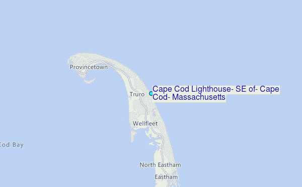
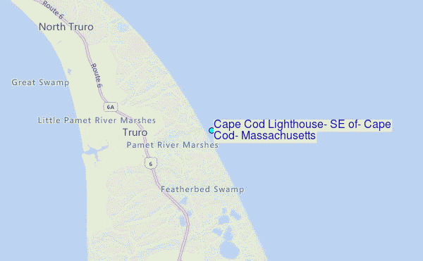
Choose Cape Cod Lighthouse, SE of, Cape Cod, Massachusetts Location Map Zoom:
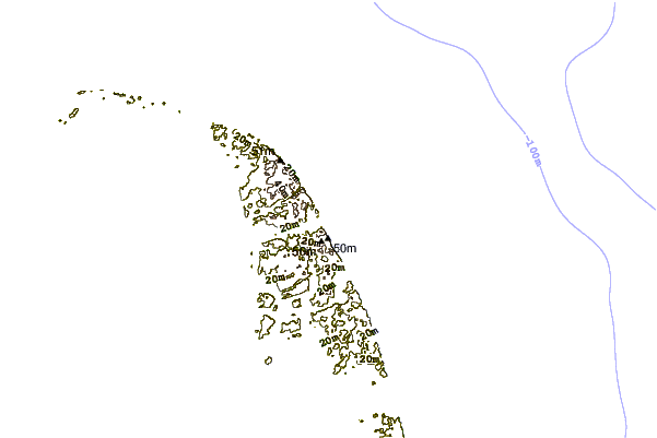
| Contours: | Roads & Rivers: | Select a
tide station / surf break / city |
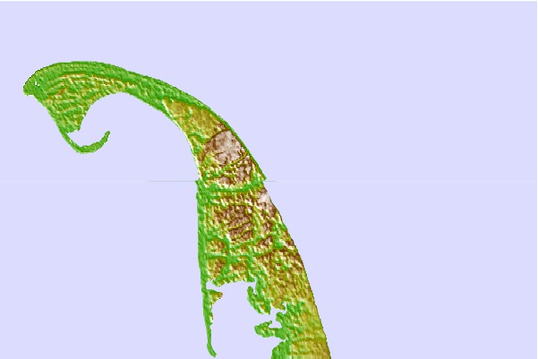
Use this relief map to navigate to tide stations, surf breaks and cities that are in the area of Cape Cod Lighthouse, SE of, Cape Cod, Massachusetts.
Other Nearby Locations' tide tables and tide charts to Cape Cod Lighthouse, SE of, Cape Cod, Massachusetts:
click location name for more details
 Surf breaks close to Cape Cod Lighthouse, SE of, Cape Cod, Massachusetts:
|
||
|---|---|---|
| Closest surf break | Longnook Beach | 1 mi |
| Second closest surf break | Ballston Beach | 2 mi |
| Third closest surf break | Newcombs Hollow | 4 mi |
| Fourth closest surf break | White Crest Beach (Wellfleet) | 5 mi |
| Fifth closest surf break | Lecount Hollow | 6 mi |


 Nearest
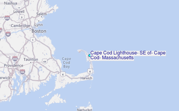