
| Distance / Altitude | Location | Report Date / Time | Live Weather | Wind | Gusts | Temp. | Visibility | Cloud |
|---|---|---|---|---|---|---|---|---|
| 45 km NNE / 15 m | ASCATB143E12S (Marine) | 2025-12-26 09:50 local (2025/12/25 23:50 GMT) | light winds from the NW (17 km/h at 309) | — | - km | |||
| 58 km NNE / 15 m | ASCATB143E11S (Marine) | 2025-12-26 09:50 local (2025/12/25 23:50 GMT) | light winds from the NW (18 km/h at 310) | — | - km | |||
| 61 km NNE / 15 m | ASCATB144E11S (Marine) | 2025-12-26 09:50 local (2025/12/25 23:50 GMT) | light winds from the NW (18 km/h at 308) | — | - km | |||
| 91 km S / 18 m | Lockhart River (Australia) | 2025-12-26 11:00 local (2025/12/26 01:00 GMT) | no report | light winds from the WNW (9 km/h at 300) | 31°C | - | - no observation - | |
| 146 km SW / 40 m | Scherger Raaf (Australia) | 2025-12-26 11:00 local (2025/12/26 01:00 GMT) | no report | light winds from the NW (9 km/h at 320) | 31°C | - | - no observation - | |
| 165 km N / 15 m | ASCATB143E10S (Marine) | 2025-12-26 09:50 local (2025/12/25 23:50 GMT) | light winds from the NW (13 km/h at 308) | — | - km | |||
| 166 km SW / 471 m | Weipa Aerodrome (Australia) | 2025-12-26 11:00 local (2025/12/26 01:00 GMT) | no report | wind obs. (15 kph from 100 degs) was rejected (- km/h at -) | 24°C | - | - no observation - | |
| 169 km N / 15 m | ASCATB144E10S (Marine) | 2025-12-26 09:50 local (2025/12/25 23:50 GMT) | light winds from the WNW (15 km/h at 287) | — | - km | |||
| 183 km WNW / 15 m | SHIP4371 (Marine) | 2025-12-26 09:00 local (2025/12/25 23:00 GMT) | - (- km/h at -) | — | - km | |||
| 183 km WNW / 15 m | SHIP3009 (Marine) | 2025-12-26 10:00 local (2025/12/26 00:00 GMT) | - (- km/h at -) | — | - km |
| Contours: | Roads & Rivers: | Select a
tide station / surf break / city |
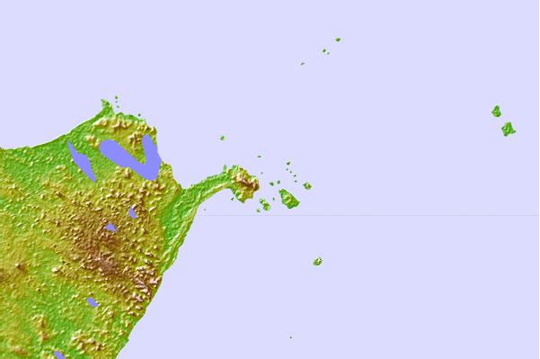
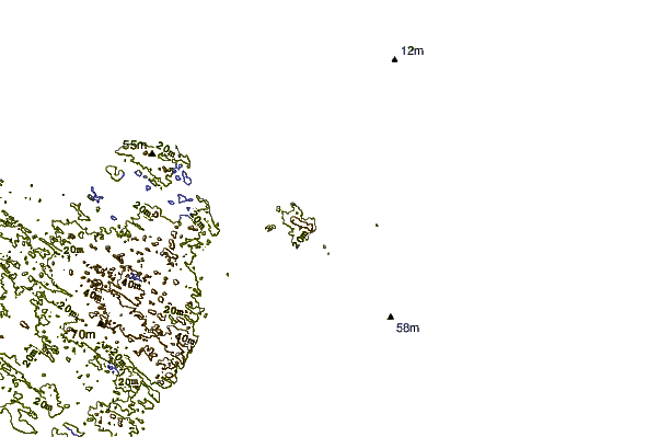
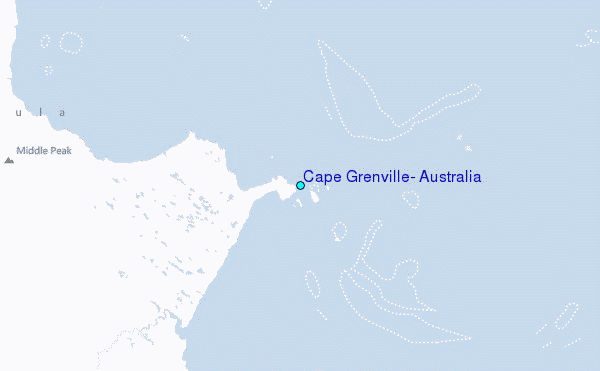
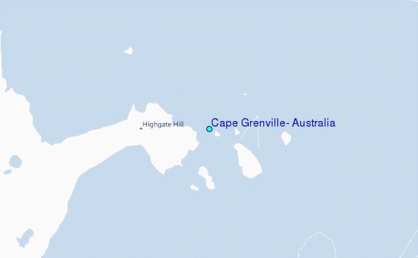
Use this relief map to navigate to tide stations, surf breaks and cities that are in the area of Cape Grenville, Australia.
Other Nearby Locations' tide tables and tide charts to Cape Grenville, Australia:
click location name for more details
 Surf breaks close to Cape Grenville, Australia:
|
||
|---|---|---|
| Closest surf break | Tupira Right | 541 mi |
| Second closest surf break | Forok Point | 578 mi |
| Third closest surf break | The Wharf (Mission Point) | 581 mi |
| Fourth closest surf break | Moem Point | 582 mi |
| Fifth closest surf break | Wewak Point | 582 mi |


 Nearest
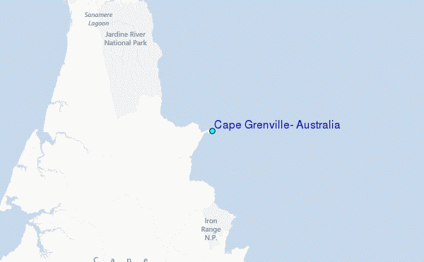