
| Distance / Altitude | Location | Report Date / Time | Live Weather | Wind | Gusts | Temp. | Visibility | Cloud |
|---|---|---|---|---|---|---|---|---|
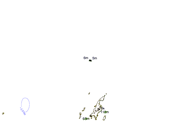
| 1 km SE / 30 m | Legendre Island (Australia) | 2025-12-25 16:00 local (2025/12/25 08:00 GMT) | no report | fresh winds from the W (31 km/h at 270) | 33°C | - | - no observation - | |
| 40 km S / 6 m | KarrathaAero (Australia) | 2025-12-25 16:00 local (2025/12/25 08:00 GMT) | Clear skies | light winds from the WNW (19 km/h at 300) | 38°C | - | - no observation - | |
| 57 km SE / 11 m | RoebourneAero (Australia) | 2025-12-25 16:00 local (2025/12/25 08:00 GMT) | - | wind obs. (20 kph from 110 degs) was rejected (- km/h at -) | — | - | - no observation - | |
| 129 km SSW / 240 m | Mardie (Australia) | 2025-12-25 15:00 local (2025/12/25 07:00 GMT) | - | light winds from the WSW (7 km/h at 250) | — | - | - | |
| 137 km SW / 224 m | Varanus Island (Australia) | 2025-12-25 16:00 local (2025/12/25 08:00 GMT) | no report | wind obs. (20 kph from 80 degs) was rejected (- km/h at -) | 23°C | - | - no observation - | |
| 160 km SW / 7 m | Barrow Island Airport (Australia) | 2025-12-25 15:00 local (2025/12/25 07:00 GMT) | - | light winds from the SW (13 km/h at 230) | — | - | - | |
| 160 km SW / 7 m | Barrow Island Airport (Australia) | 2025-12-25 16:00 local (2025/12/25 08:00 GMT) | No report | fresh winds from the W (30 km/h at 260) | 32°C | - | - no observation - | |
| 186 km E / 218 m | Port Hedland International Airport (Australia) | 2025-12-25 15:30 local (2025/12/25 07:30 GMT) | Dry and partly cloudy | fresh winds from the NW (33 km/h at 310) | 37°C | 10.0 | no cloud | |
| 188 km E / 8 m | PortHedlandAirport (Australia) | 2025-12-25 15:00 local (2025/12/25 07:00 GMT) | Clear skies | moderate winds from the NW (28 km/h at 320) | 38°C | - | - no observation - | |
| 225 km SW / 6 m | ThevenardIsland (Australia) | 2025-12-25 16:00 local (2025/12/25 08:00 GMT) | - | fresh winds from the W (31 km/h at 260) | — | - | - no observation - |
| Contours: | Roads & Rivers: | Select a
tide station / surf break / city |
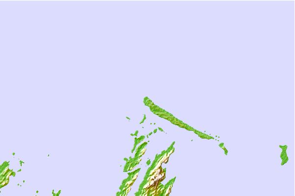
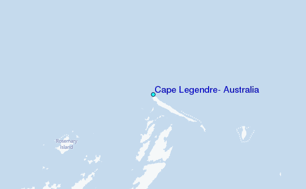
Use this relief map to navigate to tide stations, surf breaks and cities that are in the area of Cape Legendre, Australia.
Other Nearby Locations' tide tables and tide charts to Cape Legendre, Australia:
click location name for more details
 Surf breaks close to Cape Legendre, Australia:
|
||
|---|---|---|
| Closest surf break | Dunes | 201 mi |
| Second closest surf break | Lighthouse Bombie | 210 mi |
| Third closest surf break | Gnaraloo | 316 mi |
| Fourth closest surf break | Turtles | 331 mi |
| Fifth closest surf break | Red Bluff | 335 mi |


 Nearest
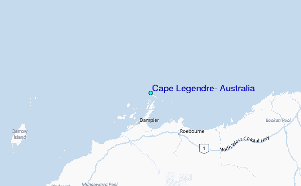