
| Distance / Altitude | Location | Report Date / Time | Live Weather | Wind | Gusts | Temp. | Visibility | Cloud |
|---|---|---|---|---|---|---|---|---|
| 7 km NE / 212 m | CapeReingaAws (New Zealand) | 2026-04-04 08:00 local (2026/04/03 19:00 GMT) | - | moderate winds from the E (24 km/h at 80) | 16°C | - | - no observation - | |
| 58 km W / 15 m | SHIP3703 (Marine) | 2026-04-04 07:00 local (2026/04/03 18:00 GMT) | fresh winds from the E (31.680000000000003 km/h at 90) | 19°C | 17.7 km | |||
| 81 km SE / 18 m | Tokerau Beach wx (New Zealand) | 2026-04-04 08:48 local (2026/04/03 19:48 GMT) | dry | light winds from the SSE (14 km/h at 156) | 18°C | - | - - 0 | |
| 88 km SE / 86 m | Kaitaia Airport (New Zealand) | 2026-04-04 08:00 local (2026/04/03 19:00 GMT) | Clear skies | light winds from the SE (15 km/h at 140) | 15°C | 20 km | - no observation - | |
| 145 km SE / 151 m | Kerikeri Aero Automatic Weather Station (New Zealand) | 2026-04-04 08:00 local (2026/04/03 19:00 GMT) | Clear skies | light winds from the S (13 km/h at 190) | 13°C | 10 km | no observation | |
| 145 km SE / 151 m | Kerikeri Aero Automatic Weather Station (New Zealand) | 2026-04-04 08:00 local (2026/04/03 19:00 GMT) | Clear skies | light winds from the S (13 km/h at 190) | 13°C | 10 km | no observation | |
| 213 km SE / 38 m | Whangarei Aero Automatic Weather Station (New Zealand) | 2026-04-04 08:00 local (2026/04/03 19:00 GMT) | Clear skies | light winds from the W (6 km/h at 270) | 16°C | 20 km | no observation | |
| 213 km SE / 38 m | Whangarei Aerodrome (New Zealand) | 2026-04-04 08:00 local (2026/04/03 19:00 GMT) | Clear skies | light winds from the W (6 km/h at 270) | 16°C | 20 km | no observation | |
| 275 km SE / 70 m | MokohinauIslandAws (New Zealand) | 2026-04-04 08:00 local (2026/04/03 19:00 GMT) | - | fresh winds from the E (30 km/h at 100) | 18°C | - | - no observation - | |
| 303 km SE / 75 m | Albany (New Zealand) | 2026-04-04 08:38 local (2026/04/03 19:38 GMT) | dry | calm (3 km/h at 88) | 14°C | - | - - 0 |
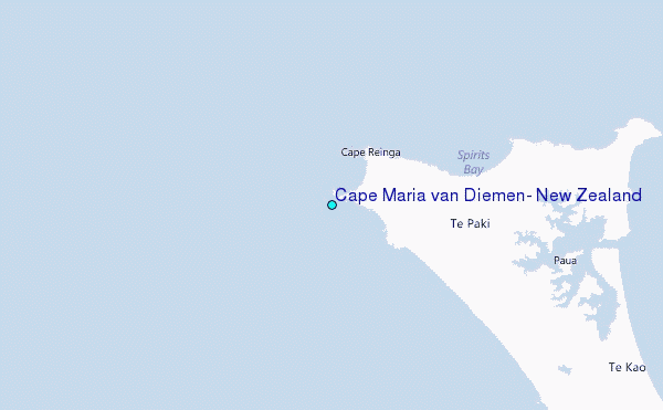
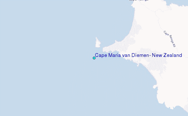
Choose Cape Maria van Diemen, New Zealand Location Map Zoom:
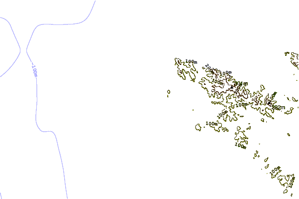
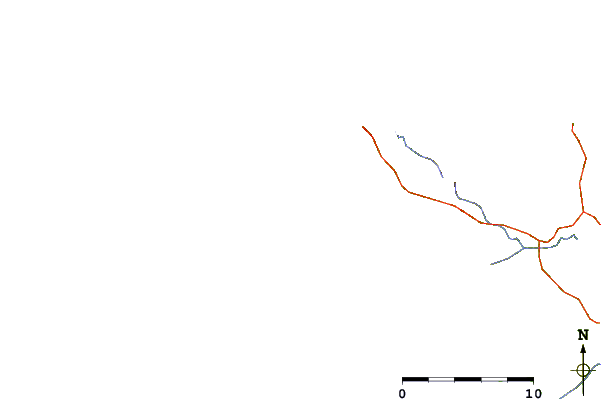
| Contours: | Roads & Rivers: | Select a
tide station / surf break / city |
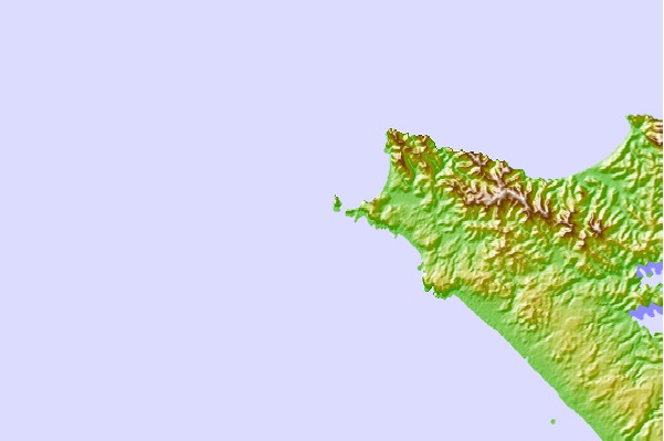
Use this relief map to navigate to tide stations, surf breaks and cities that are in the area of Cape Maria van Diemen, New Zealand.
Other Nearby Locations' tide tables and tide charts to Cape Maria van Diemen, New Zealand:
click location name for more details
 Surf breaks close to Cape Maria van Diemen, New Zealand:
|
||
|---|---|---|
| Closest surf break | Herangi Beach | 3 mi |
| Second closest surf break | Twilight Beach | 4 mi |
| Third closest surf break | Tapotupoto Bay | 6 mi |
| Fourth closest surf break | Scott Point | 6 mi |
| Fifth closest surf break | Te Paki | 7 mi |


 Nearest
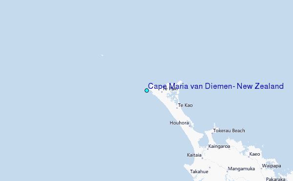