
| Distance / Altitude | Location | Report Date / Time | Live Weather | Wind | Gusts | Temp. | Visibility | Cloud |
|---|---|---|---|---|---|---|---|---|
| 6 km W / 3 m | BUOY-CMAN4 (Marine) | 2026-04-14 20:48 local (2026/04/15 00:48 GMT) | light winds from the SSE (15 km/h at 150) | — | - | |||
| 8 km NW / 396 m | Wildwood Airport (New Jersey) | 2026-04-14 19:56 local (2026/04/14 23:56 GMT) | Clear | light winds from the SSW (11 km/h at 200) | 21°C | 16 | ||
| 19 km W / 3 m | BUOY-BRND1 (Marine) | 2026-04-14 20:48 local (2026/04/15 00:48 GMT) | moderate winds from the SSW (24 km/h at 200) | — | - | |||
| 27 km SSW / 3 m | BUOY-LWSD1 (Marine) | 2026-04-14 20:48 local (2026/04/15 00:48 GMT) | light winds from the SSW (9 km/h at 200) | — | - | |||
| 34 km SSW / 6 m | Lewes (Delaware) | 2026-04-14 20:40 local (2026/04/15 00:40 GMT) | dry | calm (2 km/h at 159) | 19°C | - | - - 0 | |
| 47 km S / 3 m | BUOY-44084 (Marine) | 2026-04-14 20:56 local (2026/04/15 00:56 GMT) | - (- km/h at -) | — | - | |||
| 49 km NW / 218 m | Millville Airport (New Jersey) | 2026-04-14 19:54 local (2026/04/14 23:54 GMT) | Clear | light winds from the N (6 km/h at 1) | 24°C | 16 | ||
| 50 km W / 3 m | BUOY-DRSD1 (Marine) | 2026-04-14 20:30 local (2026/04/15 00:30 GMT) | light winds from the S (9 km/h at 190) | 24°C | - | |||
| 51 km SSW / 208 m | Georgetown Airport (Delaware) | 2026-04-14 19:54 local (2026/04/14 23:54 GMT) | Clear | light winds from the SSW (11 km/h at 210) | 24°C | 16 | ||
| 52 km SSE / - m | SHIP985 (ocean) | 2026-04-14 20:00 local (2026/04/15 00:00 GMT) | - | fresh winds from the SSW (29 km/h at 200) | 13°C | - | no observation |
| Contours: | Roads & Rivers: | Select a
tide station / surf break / city |
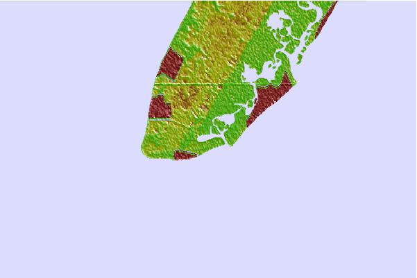

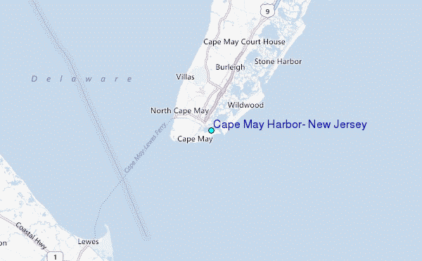
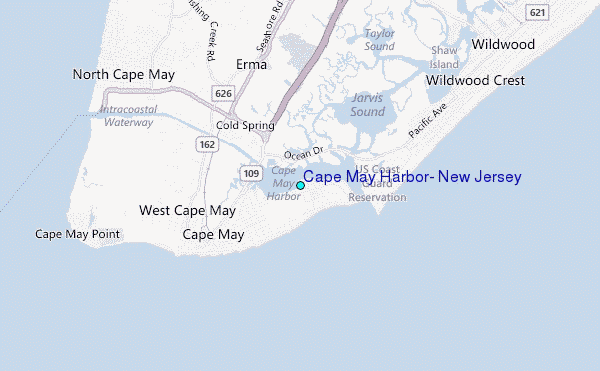
Use this relief map to navigate to tide stations, surf breaks and cities that are in the area of Cape May Harbor, New Jersey.
Other Nearby Locations' tide tables and tide charts to Cape May Harbor, New Jersey:
click location name for more details
 Surf breaks close to Cape May Harbor, New Jersey:
|
||
|---|---|---|
| Closest surf break | Poverty Beach | 1 mi |
| Second closest surf break | Stockton | 1 mi |
| Third closest surf break | Queen Street | 2 mi |
| Fourth closest surf break | Trestles | 2 mi |
| Fifth closest surf break | Broadway | 2 mi |


 Nearest
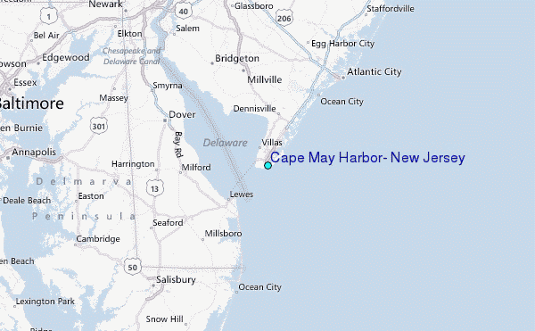