
| Distance / Altitude | Location | Report Date / Time | Live Weather | Wind | Gusts | Temp. | Visibility | Cloud |
|---|---|---|---|---|---|---|---|---|
| 11 km SSW / 3 m | SHIP4569 (Marine) | 2026-06-30 23:00 local (2026/07/01 07:00 GMT) | - (- km/h at -) | — | - | |||
| 37 km SSE / 3 m | Central Dixon Entrance Buoy (Marine) | 2026-06-30 23:00 local (2026/07/01 07:00 GMT) | fresh winds from the W (32 km/h at 280) | 11°C | - | |||
| 22 km WSW / 3 m | SHIP9679 (Marine) | 2026-06-30 22:00 local (2026/07/01 06:00 GMT) | - (- km/h at -) | — | - | |||
| 22 km WSW / 3 m | SHIP4407 (Marine) | 2026-06-30 22:00 local (2026/07/01 06:00 GMT) | - (- km/h at -) | — | - | |||
| 22 km WSW / 15 m | SHIP10019 (Marine) | 2026-06-30 22:00 local (2026/07/01 06:00 GMT) | - (- km/h at -) | — | - km | |||
| 22 km WSW / 15 m | SHIP1775 (Marine) | 2026-06-30 22:00 local (2026/07/01 06:00 GMT) | - (- km/h at -) | — | - km | |||
| 24 km SSW / 3 m | SHIP4568 (Marine) | 2026-06-30 23:00 local (2026/07/01 07:00 GMT) | - (- km/h at -) | 10°C | - | |||
| 24 km SSW / 15 m | SHIP258 (Marine) | 2026-06-30 23:00 local (2026/07/01 07:00 GMT) | - (- km/h at -) | — | - km | |||
| 34 km SSE / 15 m | SHIP9864 (Marine) | 2026-06-30 22:00 local (2026/07/01 06:00 GMT) | - (- km/h at -) | — | - km | |||
| 34 km SSE / 15 m | SHIP1527 (Marine) | 2026-06-30 22:00 local (2026/07/01 06:00 GMT) | - (- km/h at -) | — | - km |
| Contours: | Roads & Rivers: | Select a
tide station / surf break / city |
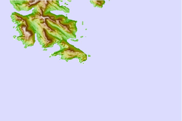
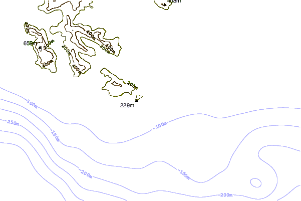
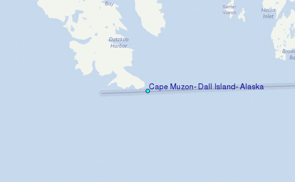
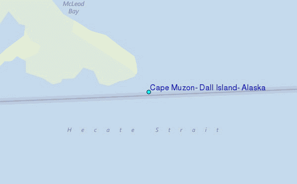
Use this relief map to navigate to tide stations, surf breaks and cities that are in the area of Cape Muzon, Dall Island, Alaska.
Other Nearby Locations' tide tables and tide charts to Cape Muzon, Dall Island, Alaska:
click location name for more details
 Surf breaks close to Cape Muzon, Dall Island, Alaska:
|
||
|---|---|---|
| Closest surf break | Lepus Beach (Haida-Gwaii) | 37 mi |
| Second closest surf break | Tow Hill Beach | 54 mi |
| Third closest surf break | Nootka Island (Calvin Bay) | 425 mi |
| Fourth closest surf break | Cannon Beach | 427 mi |
| Fifth closest surf break | Graveyards | 431 mi |


 Nearest
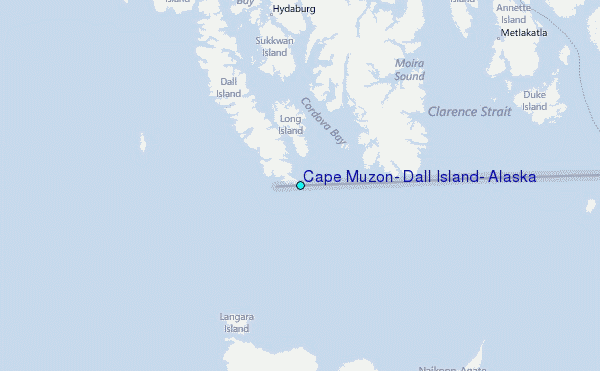