
| Distance / Altitude | Location | Report Date / Time | Live Weather | Wind | Gusts | Temp. | Visibility | Cloud |
|---|---|---|---|---|---|---|---|---|
| 199 km NE / 3 m | BUOY-CPXA2 (Marine) | 2026-04-03 22:02 local (2026/04/04 06:02 GMT) | light winds from the N (17 km/h at 360) | -1°C | - | |||
| 203 km NE / 3 m | BUOY-UNLA2 (Marine) | 2026-04-03 21:48 local (2026/04/04 05:48 GMT) | light winds from the N (8 km/h at 360) | — | - | |||
| 204 km NE / 3 m | BUOY-DPLA2 (Marine) | 2026-04-03 22:02 local (2026/04/04 06:02 GMT) | light winds from the N (13 km/h at 10) | -1°C | - | |||
| 204 km NE / 3 m | BUOY-DPXA2 (Marine) | 2026-04-03 22:02 local (2026/04/04 06:02 GMT) | light winds from the NNW (9 km/h at 340) | -1°C | - | |||
| 205 km NE / 209 m | Dutch Harbor Airport (Alaska) | 2026-04-03 20:56 local (2026/04/04 04:56 GMT) | Dry and cloudy | light winds from the NNE (11 km/h at 30) | -1°C | 16 | overcast | |
| 207 km NE / 3 m | SHIP4919 (Marine) | 2026-04-03 21:00 local (2026/04/04 05:00 GMT) | - (- km/h at -) | 1°C | - | |||
| 207 km NE / 3 m | SHIP3539 (Marine) | 2026-04-03 21:00 local (2026/04/04 05:00 GMT) | - (- km/h at -) | 1°C | - | |||
| 207 km NE / 3 m | SHIP4483 (Marine) | 2026-04-03 20:00 local (2026/04/04 04:00 GMT) | - (- km/h at -) | 1°C | - | |||
| 207 km NE / 15 m | SHIP2886 (Marine) | 2026-04-03 20:00 local (2026/04/04 04:00 GMT) | - (- km/h at -) | — | - km | |||
| 207 km NE / 15 m | SHIP3392 (Marine) | 2026-04-03 20:00 local (2026/04/04 04:00 GMT) | - (- km/h at -) | — | - km |
| Contours: | Roads & Rivers: | Select a
tide station / surf break / city |
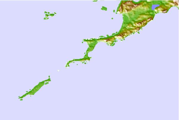
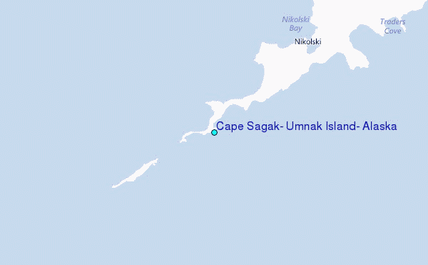
Use this relief map to navigate to tide stations, surf breaks and cities that are in the area of Cape Sagak, Umnak Island, Alaska.
Other Nearby Locations' tide tables and tide charts to Cape Sagak, Umnak Island, Alaska:
click location name for more details
 Surf breaks close to Cape Sagak, Umnak Island, Alaska:
|
||
|---|---|---|
| Closest surf break | Fossil Beach Kodiak | 730 mi |
| Second closest surf break | Monashka Bay | 736 mi |
| Third closest surf break | Termination Point | 738 mi |
| Fourth closest surf break | Mill Bay | 739 mi |
| Fifth closest surf break | Bird Point (Tidal Bore) | 858 mi |


 Nearest
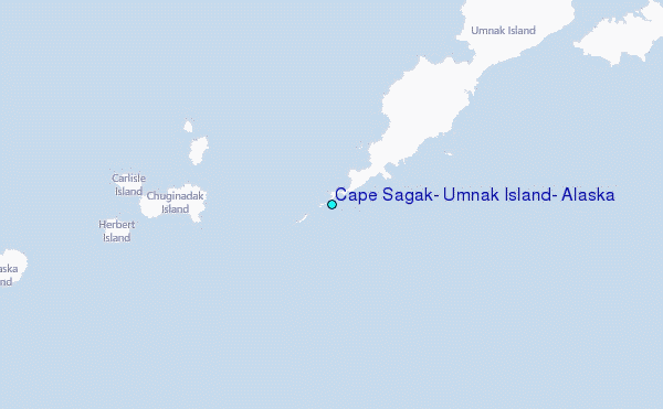