
| Distance / Altitude | Location | Report Date / Time | Live Weather | Wind | Gusts | Temp. | Visibility | Cloud |
|---|---|---|---|---|---|---|---|---|
| 4 km WSW / 20 m | CapeSorell (Australia) | 2025-12-25 19:00 local (2025/12/25 08:00 GMT) | Rain | strong winds from the SSW (44 km/h at 210) | 12°C | - | - no observation - | |
| 8 km NE / 22 m | StrahanAerodrome (Australia) | 2025-12-25 19:00 local (2025/12/25 08:00 GMT) | no report | calm (2 km/h at 50) | 3°C | - | - no observation - | |
| 48 km NE / 1120 m | MountRead (Australia) | 2025-12-25 19:00 local (2025/12/25 08:00 GMT) | Rain | strong winds from the SSW (44 km/h at 210) | 0°C | - | - no observation - | |
| 87 km E / 666 m | Butlers Gorge (Australia) | 2025-12-25 19:00 local (2025/12/25 08:00 GMT) | no report | light winds from the SW (13 km/h at 220) | 3°C | - | - no observation - | |
| 90 km SSE / 34 m | Low Rocky Point Automatic Weather Station (Australia) | 2025-12-25 19:00 local (2025/12/25 08:00 GMT) | no report | moderate winds from the SSW (24 km/h at 200) | 8°C | - | - no observation - | |
| 90 km SSE / 34 m | Low Rocky Point (Australia) | 2025-12-25 19:00 local (2025/12/25 08:00 GMT) | no report | wind obs. (15 kph from 110 degs) was rejected (- km/h at -) | 8°C | - | - | |
| 101 km E / 616 m | Tarraleah (Australia) | 2025-12-25 18:00 local (2025/12/25 07:00 GMT) | no report | wind obs. (13 kph from 110 degs) was rejected (- km/h at -) | 5°C | - | - | |
| 117 km N / 344 m | LuncheonHill(Forestry) (Australia) | 2025-12-25 19:00 local (2025/12/25 08:00 GMT) | no report | light winds from the SSE (9 km/h at 150) | 5°C | - | - no observation - | |
| 124 km ENE / 1042 m | Liawenee (Australia) | 2025-12-25 19:00 local (2025/12/25 08:00 GMT) | no report | light winds from the SSW (7 km/h at 200) | 2°C | - | - no observation - | |
| 127 km ESE / 91 m | Ouse Fire Station (Australia) | 2025-12-25 19:00 local (2025/12/25 08:00 GMT) | no report | light winds from the W (13 km/h at 270) | 11°C | - | - no observation - |
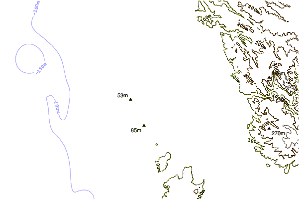
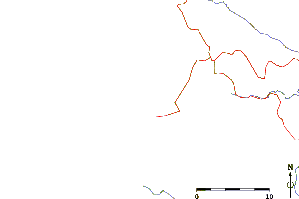
| Contours: | Roads & Rivers: | Select a
tide station / surf break / city |
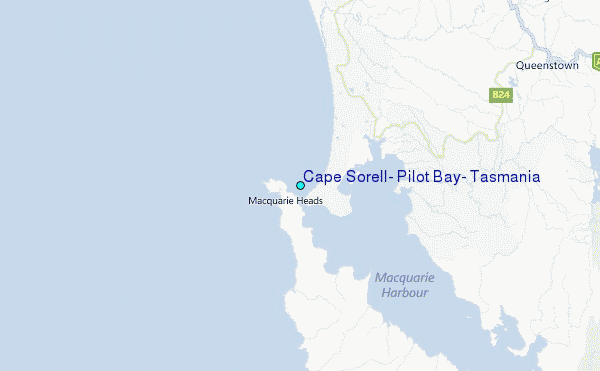
Use this relief map to navigate to tide stations, surf breaks and cities that are in the area of Cape Sorell, Pilot Bay, Tasmania.
Other Nearby Locations' tide tables and tide charts to Cape Sorell, Pilot Bay, Tasmania:
click location name for more details
 Surf breaks close to Cape Sorell, Pilot Bay, Tasmania:
|
||
|---|---|---|
| Closest surf break | Trial Harbour | 19 mi |
| Second closest surf break | Church Bay | 85 mi |
| Third closest surf break | Devonport Rivermouth | 93 mi |
| Fourth closest surf break | Lighthouse Beach | 93 mi |
| Fifth closest surf break | Mini Bluff | 93 mi |


 Nearest
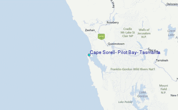